Discover the Most Walkable Neighborhoods with This Interactive Map
If you're planning a trip or thinking about moving to a new area, you'll likely want to consider how close you'll be to the amenities that matter to you. Close is a helpful tool that displays travel times to nearby destinations, such as grocery stores, schools, parks, libraries, and restaurants, using methods like walking, biking, or public transport.
It can be particularly useful for travelers visiting an unfamiliar city, as it helps you locate Airbnbs or other short-term rentals that are within walking distance of the facilities you care about. By comparing the information listed in the rental's description with the travel times shown on Close, you can determine which areas offer the best access to these amenities.
Using Close to find walkable neighborhoods
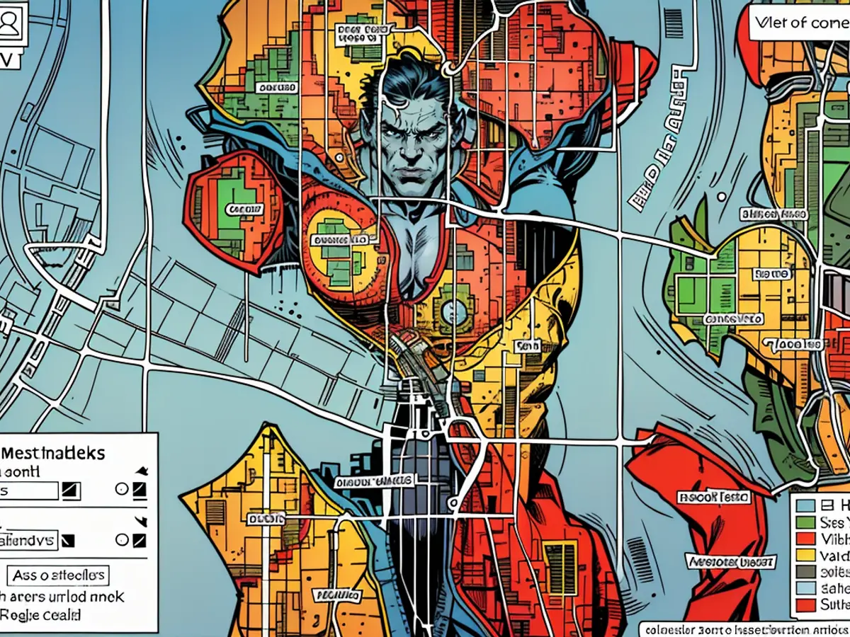
To use Close, visit the website and type the name of your desired city or county into the search bar in the top-left corner. In the "Destinations" box in the lower-left corner, you can customize the types of locations you want the map to display by clicking "Add destination." You can also indicate how you plan to get there by choosing between walking, biking, or a combination of walking and public transportation. You can also turn on or off the specific amenity icons on the map to see the name and address of each place.
Credit: Emily Long
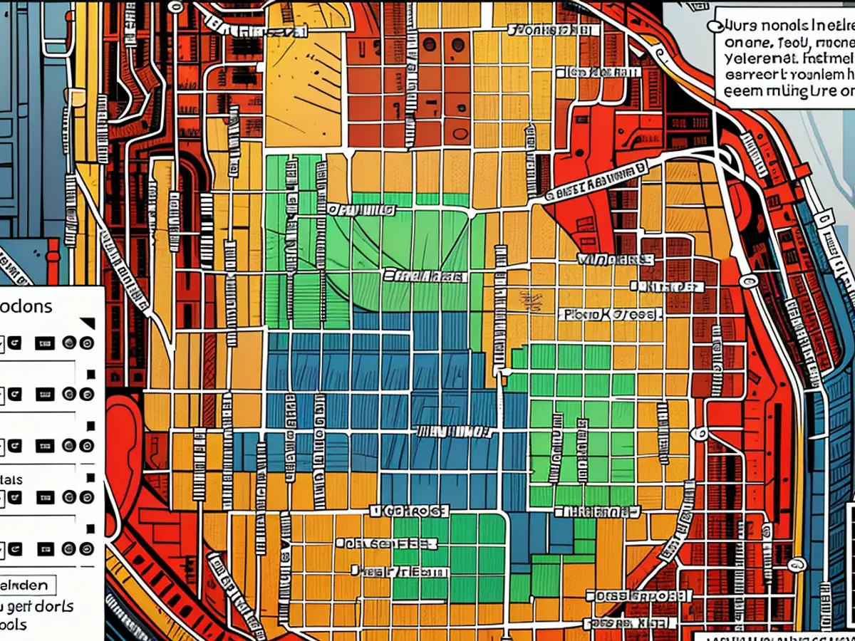
As you add or remove destinations, the map will adjust to show the total travel time to reach the furthest amenity using the mode(s) of transportation selected. Additionally, you can click on a specific block to receive a detailed breakdown of the estimated transit times.
Close offers detailed information about the types of amenities. For example, it differentiates between supermarkets and convenience stores. Keep in mind that the tool is currently in public beta, so some features may change as it continues to develop.
Read also:
When choosing a neighborhood to visit or move to, considering nearby amenities like grocery stores, schools, parks, and restaurants is crucial. Utilizing Close, an interactive map, allows you to pinpoint walkable areas with ease, ensuring you're close to the facilities that matter to you, enhancing your travel or relocation experience.
- Fear of escalation in the Middle East: US Secretary of State Blinken travels to the region again
- Government circles: US Secretary of State Blinken to travel to Middle East again
- Bridging days 2024: How you can double your vacation this year
- Germany has wanderlust: how tour operators and airlines are looking ahead to the next travel year
