"Water levels on the Moselle are likely to rise significantly again"
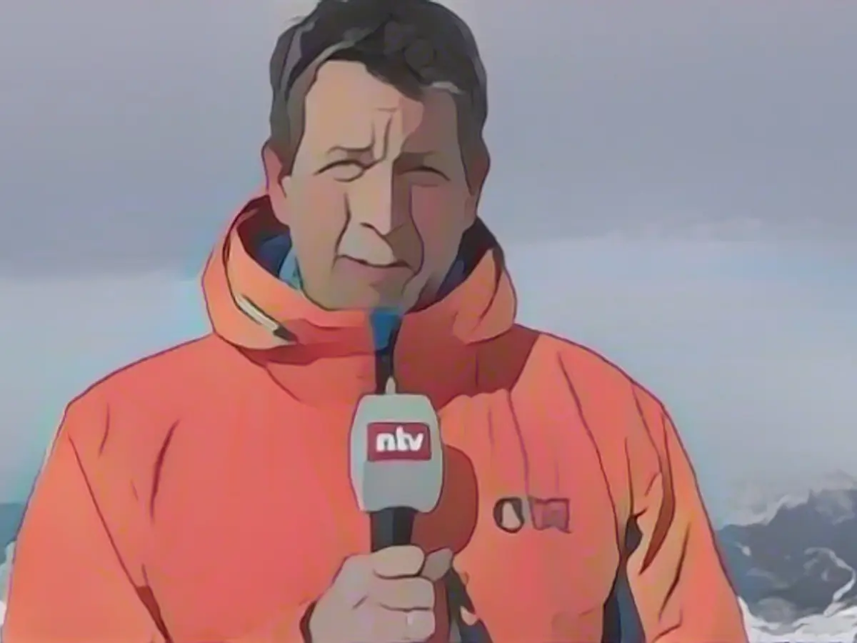
Over the turn of the year, some flooded areas were able to breathe a little easier. It is now raining again. According to ntv meteorologist Björn Alexander, it is difficult to calculate how the permanent wetness will affect the extremely soaked dykes in the flood regions.
The issue of flooding will probably continue to occupy us for the time being. What are the current rain and weather forecasts?
At the moment, the wild and wet foothills of depression "Dietmar" have hit us. In addition, "Annelie" (international name is "Henk"), another intense depression, will follow in its wake on Wednesday. This means that we will remain under the influence of the very mild, sometimes stormy and occasionally rainy westerly current up to and including Thursday before winter is likely to make another attempt. A longer-lasting high is also emerging in the weather trends next week. Both are very good developments when it comes to the flood situation.
How much rain is still possible before the winter comeback in Germany?

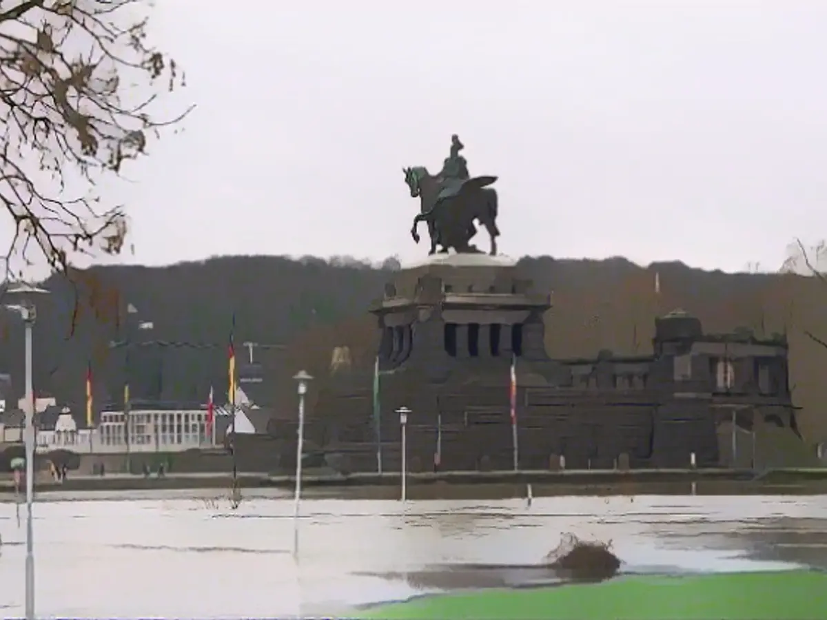
Depending on the weather model, 20 to 40 liters of rain per square meter will fall across the country, and 60 to 80 liters in mountainous areas. Even peaks of around or over 100 liters per square meter cannot be ruled out. This means that the situation in the current flood regions will remain very tense at the very least, or may worsen again in some areas. It is still difficult to calculate how the persistent wetness will affect the dykes, some of which are extremely soaked. In addition, the water levels on the rivers in the west, such as the Moselle, are likely to rise significantly once again. The reason for this is that the soil is saturated, meaning that every drop of rain goes directly into the surface runoff.
And winter puts an end to this?
Exactly. First of all, the snow line drops, so that precipitation is increasingly trapped in solid form, especially in the mountains and in the north and north-east. At the same time, some of the weather models will finally conjure a more stable high out of a hat. And so, after three months that have been far too wet and in some cases far too gray, we can finally look forward to dry and in some cases very sunny forecasts.
Despite the changeover, it's hard to shake off the impression that such a string of bad weather in a row is not an everyday occurrence. To what extent does climate change play a role?
Basically, we have been observing a trend towards more stationary weather patterns for some years now. In other words, the atmosphere and the movement patterns of our weather-controlling currents seem to be losing their dynamism and weather patterns are lasting longer.
Are there any examples?
Let's think, for example, of the drought year 2018 with persistent high-pressure situations and now the persistent low-pressure series that we have been dealing with since October 2023. This plays into the interpretation of climate change and is a significant change to the meteorology of past decades, in which the order of magnitude of long-lasting weather conditions was six to seven weeks. Let's remember, for example, the farmer's saying: As the weather is on the day of the seven sleepers, so it may remain for seven weeks. This means that - at certain times - certain circulation patterns could last longer. But not for months on end.
How long does winter want to last now?
There are still very different calculations in view of the time period. However, one quite plausible approach sees a high over Western Europe at the beginning of next week, which will extend its feelers as far as us. At the same time, the low pressure over Scandinavia would form again. A development that could bring winter air, including snow and a lasting winter, back into the race by the middle of the month. For fans of ice and snow, very exciting times are about to begin.
What details do the coming days have in store for us?
On Wednesday, it will remain widely gray and wet. Rain will fall more frequently in the north, otherwise showers are on the way, which may be accompanied by thunderstorms later in the southwest. Only in the south and especially towards the Alps will there be a chance of prolonged sunshine. The wind will continue to be strong to gale-force, with gale-force gusts again at their roughest in the Black Forest.
What about the temperatures?
7 degrees in the Ore Mountains and a very mild 14 degrees on the Upper Rhine. Only on Thursday will cold air mix into the north-east, so that the first flakes are possible on the Baltic Sea. But it will also gradually get colder in the rest of the country with 3 to 11 degrees on Thursday, 1 to 10 degrees on Friday and single-digit temperatures at the weekend.
How cold will it be?
Saturday will still bring a maximum of 0 to 8 degrees and snow showers in the northeast and in the mountains above around 500 meters. Sunday will bring 1 to 4 degrees in the lowlands, while light permafrost will spread in the mountains. Next week Monday we can expect a maximum of minus 3 to plus 3 degrees and bitterly cold nights in places. Most of the time it will be frosty, with even severe frost below minus 10 degrees possible under longer periods of clearing and over snow.
Read also:
- Floods: water levels remain critical in many places
- Snow chaos further restricts Bavaria
- Continuous operation in the flood areas
- Flood situation remains tense in many places
Given the text, here are the two sentences that contain the given words:
The water levels on the Moselle are expected to rise significantly again due to the persistent wetness, according to ntv meteorologist Björn Alexander.
Despite the changeover, the issue of flooding will likely continue to occupy us in the flood regions, as the persistent wetness makes it difficult to calculate how it will affect the extremely soaked dykes.
Source: www.ntv.de


