First comes more rain, then winter comes knocking
The rain takes a break at the turn of the year - but only for a short time. The flooding situation could worsen again over the course of the week. The weather models are predicting a return of winter for the coming weekend.
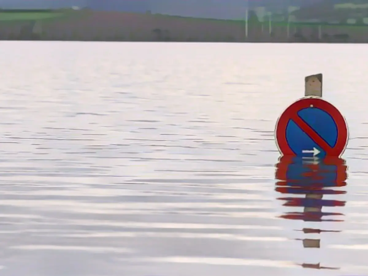
The floods will continue to be concentrated in Lower Saxony and Saxony-Anhalt. In Lower Saxony, the Weser, Aller, Oker, Hunte, Leine, Fuhse and Hase rivers are particularly affected. Here, 27 stations are reporting the highest warning level. In Saxony-Anhalt, there are currently four measuring stations with the highest or second-highest warning level. Many others are at least at warning level 1 or 2.
Low "Costa" (international name is "Geraldine") will bring further rain, but the amounts will remain manageable. Mostly around five liters will fall up to and including Monday, with peaks of 10 to 15 liters per square meter. However, the ground is still saturated and every drop goes more or less directly into the rivers, reservoirs and flood areas. The situation therefore remains tense, especially as the dykes are often soaked and threaten to break even without new rain. In addition, a new low will follow on Tuesday with heavier rain.
By Thursday morning, the weather computers are expecting rainfall of around 40 liters per square meter for the flood areas. Even more rain is expected for the western and south-western low mountain ranges, with peaks of up to 80 liters per square meter in the Black Forest. Local flooding is also possible in smaller streams and rivers. However, the development is by no means comparable to the flood situation further north.
The forecasts give hope for an easing on the flood front from the weekend. At least some of the trends will bring colder air into play, causing the snow line to drop. This would mean that further precipitation would be trapped in the form of snow, particularly in the mountains. And flakes could also mix in regionally in the lowlands.
It remains to be seen whether this will be a sustained onset of winter or whether a high with a radical change in the weather towards more sunshine and a longer dry phase will prevail in the second week of January, but it is definitely possible. Until then, the situation will develop as follows.
Monday night: Changeable and risk of slippery conditions in the south
First of all, the rain will move eastwards. The break will not be too long. New showers will follow in the west and northwest. In between, it will remain largely dry and often clear - with good prospects for the turn of the year. It will be coldest on the edge of the Alps, where frost and icy conditions are to be expected later. Otherwise, the lows will be between 3 and 7 degrees. In addition, strong to gale-force winds will continue to blow in the west and northwest, which could blow the New Year's Eve rockets away.
Monday: New Year with mixed prospects
The New Year will begin with changeable showers from the Eifel to the Baltic Sea, which could turn to snow in the mountains above around 700 meters. There will also be a few drops directly on the edge of the Alps, with flakes above 1000 meters. In the rest of the country, however, it will be mainly dry, with sunshine more frequent in the south and east. Later, showers will spread to the east. It will be friendlier in the west. With strong winds, temperatures will reach a mild 4 to 10 degrees.
Tuesday: New rain to follow
The next low pressure system will roll in and bring us cloudy and wet to very wet mucky weather. Most of the rain is likely to fall in the south and west and especially in the congestion of the low mountain ranges. In addition, a brisk to stormy south-westerly wind with local squalls will blow again. It will remain dry longest in the northeast. It will also be coolest here with temperatures of around 5 degrees, while temperatures in the southwest will reach a very mild 12 degrees.
Wednesday: Worsening flood situation
It will remain mixed, often wet and very windy to stormy. Local flooding is possible, at least in smaller streams and rivers in the southwest. In addition, 5 degrees in the northeast and 13 degrees on the Rhine.
Thursday: Contrasts become greater
It will continue to be unsettled and windy with local squalls. Showers are most likely in the southwest and northeast. There will even be flakes mixed in from the Baltic Sea. While it will continue to be a mild 13 degrees in the Upper Rhine region, colder air will barely get above 0 degrees in the north-east.
Friday and at the weekend: Colder air spreads
Around Epiphany on Saturday, the majority of weather models are predicting the advance of colder air. This is likely to result in a noticeable drop in temperatures. The chances of snow will increase significantly down to the lowlands. This applies to the lower-lying areas, especially in the north-eastern half of the country. In the mountains, it is likely to be wintry throughout. Night frost and widespread icy conditions will also become a bigger issue again.
Read also:
- Floods: water levels remain critical in many places
- Snow chaos further restricts Bavaria
- Continuous operation in the flood areas
- Flood situation remains tense in many places
The extreme weather conditions, including heavy rain and flooding, are expected to continue in Lower Saxony and Saxony-Anhalt. International aid and support may be crucial in managing this international crisis. The weather forecasts predict a return of winter, which could potentially help alleviate the flood situation by trapping precipitation as snow in the mountains.
Source: www.ntv.de


