Sunlight and heat cannot drive away heavy downpours.
Following the heavy downpours in the last couple of days, the weather may slighty improve in the upcoming week. However, there's still a looming possibility of more rain. Towards the end of the week, the sun might shine more frequently and it will become warmer. That's what meteorologist Bjoern Alexander from ntv predicts.
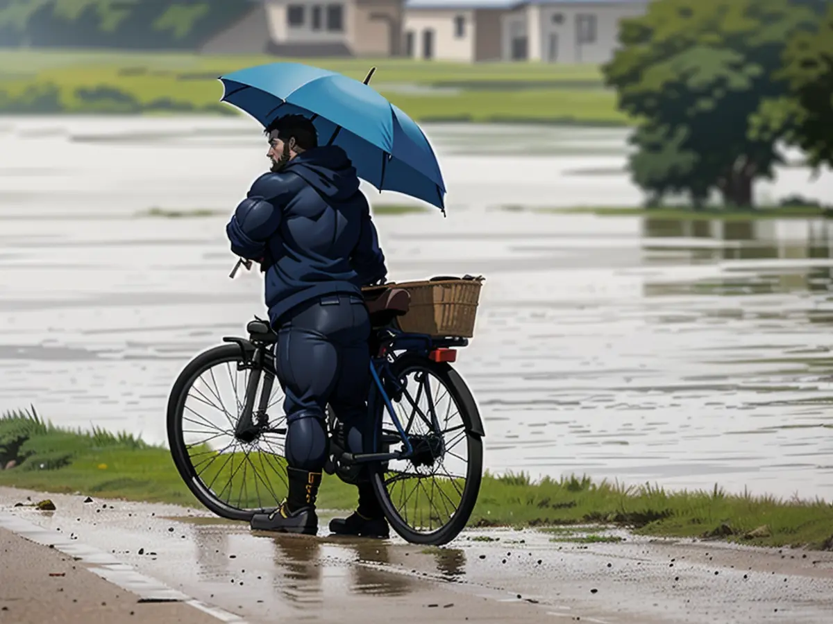
The disaster in regions damaged by floods is highly critical or even dangerous. From the Alps to Saxony and Thuringia, there's a danger of intense thunderstorms in the moist and heavily overloaded air. There's a chance of heavy rainstorms with more than 50 liters per square meter falling in a short period of time.
This would be worrisome on its own. But considering over 100 liters per square meter of rain have been dumped in parts of southern Germany during the past few days, every extra drop is undesirable.
The heavy rain can be blamed firstly on the persistent and heavy weather pattern. Secondly, new and localized thunderstorm centers are forming. These storm centers will likely be active from Stuttgart, Schwäbisch Gmünd, Ingolstadt all the way to the Bavarian Forest area. It's difficult to accurately predict the exact amount of rain these storms will bring. However, some places could see more than 50 liters pouring down within an hour.
The danger of landslides and mudslides is also a concern. In southern East Germany and especially Dresden and the Erzgebirge, there's a high probability of similarly heavy rain falling. Additionally, there's a substantial risk of flooding in fields, streets, underpasses, and paths as well as streams and small rivers overflowing.
The weather conditions, however, will be less severe starting from Tuesday. Moving elements, known as "Willy" and "Swantje", are set to take control of the weather in southern Germany and the northern regions, respectively. The former will bring sunshine, while the latter will be cloudier. In brief:
Monday: Thunderstorms mainly in the south
In the morning, there'll be thunderstorms from Lake Constance to the region south of the Danube, and in southeastern areas. Rainfall could reach up to 10-20 liters per square meter. In the afternoon, the thunderstorm focal points move toward the Alpine foothills. Up to 20-60 liters of rain per square meter is expected until evening in the Allgaeu, Upper Bavaria. In the northern and northwestern parts of the country, it'll only rain occasionally. The remainder of the day will be more sunny. Temperatures during this time will be around 17 degrees in the windy north and 23 degrees in the southwest.
Tuesday: A mix of sun and clouds
Thunderstorms, mainly in the southern regions, will become less intense. Although showers and thunderstorms are still possible, they will be fairly limited. Highs will range from 18-24 degrees.
Wednesday: Beauty in the south
Amidst thunderstorms, it'll be the most beautiful in the southern areas. Sun and clouds alternately take over. Although showers and thunderstorms are possible, they'll remain relatively calm. The temperature will be 18-24 degrees.
Thursday and Friday: Possible summer, but uncertain
There's a possibility that Thursday and Friday might feel like summer. Some weather models suggest that it'll be more changeable and cooler with temperatures ranging from 17 degrees in the north due to the impact of the Scandinavian low. Yet, in most areas, there could be more sunlight and correspondingly higher temperatures - from 23 to 28 degrees. Unfortunately, these forecasts are far from dependable. There's also a hint that new, partly thundery rain showers might develop from the southwest.
Weekend: Great potential, great uncertainty
The uncertainty in the coming days continues. There are several possibilities, but they all suggest it'll rain somewhere. In some forecasts, rain will pass through the middle of the country, while in others it'll be concentrated in the south or the north. Whatever the scenario, there could be peak temperatures of up to 25 degrees. Meanwhile, it could be noticeably colder in the rain.
Here's a visual representation:
Monday: Rainstorms in the south
- In the morning: Rainstorms from Lake Constance to the south of the Danube and in parts of the east.
- 5-20 litres of rain per square metre.
- In the afternoon: Storms shift towards the Alpine foothills.
- Up to 20-60 litres of rain per square metre in the Allgaeu and Upper Bavaria.
- Elsewhere: Occasional showers.
- Temps: 17°C in the north, 23°C in the southwest.
Tuesday: Sun and clouds
- Storms lessen in the south.
- Possible showers and thunderstorms.
- Total: 18-24°C.
Wednesday: Most beautiful in the south
- Gradual improvement over the south.
- Storms aren't as intense.
- Temperatures: 18-24°C.
Thursday and Friday: Summer or not
- Summer potential but uncertain.
- Possible thunderstorms.
- Potential temps: 17-28°C.
The weekend: Stormy and unclear
- Uncertain scenarios indicate rain somewhere.
- Sunny periods possible.
- Temps: 25°C in the sunshine, potentially cooler in the rain.

Read also:
Despite Björn Alexander's prediction of improved weather conditions towards the end of the week, international reports suggest that extreme weather events like thunderstorms are still a concern. In fact, regions like the Alps and Saxony could be at risk of intense thunderstorms, much like the ones that have caused devastating floods recently.
Considering Björn Alexander's meteorological expertise and the recent extreme weather events, it's crucial that individuals and authorities take necessary precautions to avoid any potential damage from these thunderstorms.


