Satellite image shows division of the Gaza Strip
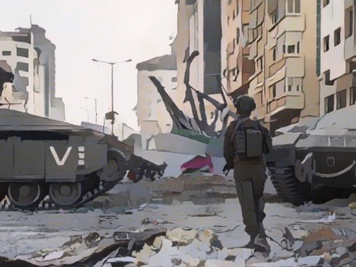
The war between Israel and Hamas is leaving its mark on the Gaza Strip - and it can even be seen from space. With the help of satellites from the European Copernicus space program, the events in the sealed-off region can be partially reconstructed.
Gaza City is surrounded - as the Israeli military announced at the beginning of November. Shortly afterwards, publicly available satellite images did indeed show the tracks of heavy columns of vehicles crossing the Gaza Strip from the border fence. A new image from November 11 is now available. It clearly shows where Israel's tanks have cut through the sealed-off coastal strip.
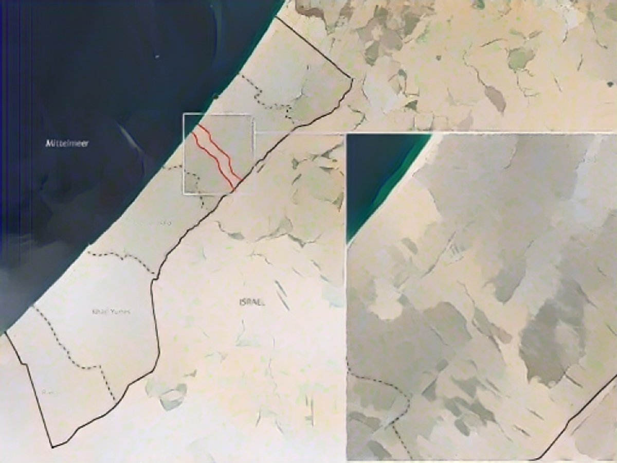
The fighting between the Israeli army and Hamas is at its fiercest north of this front line, which can be seen from space. According to a damage analysis based on satellite data, at least a third of all settlement structures in the administrative district of North Gaza alone, including the towns of Jabaliya and Beit Hanun, have been destroyed or damaged. In the neighboring region of Gaza, it is estimated that a good quarter of the buildings have been affected.
It is unclear how many civilians are currently still in the north of the Gaza Strip. Regular ceasefires are intended to give them the opportunity to seek refuge in the south via safe escape corridors. Officially, the evacuation zone extends as far as Wadi Gaza, a nature reserve on the border between the Gaza and Deir al-Balah regions.
The continuous conflict in the Middle East, specifically the Israel-Gaza situation, has led to significant damage in the Gaza Strip. As seen in recent satellite images, the Gaza Strip, particularly the North Gaza administrative district, has been severely affected, with at least a third of its settlement structures, including cities like Jabaliya and Beit Hanun, being destroyed or damaged by the ongoing conflict between Israel and Hamas.
Source: www.ntv.de
