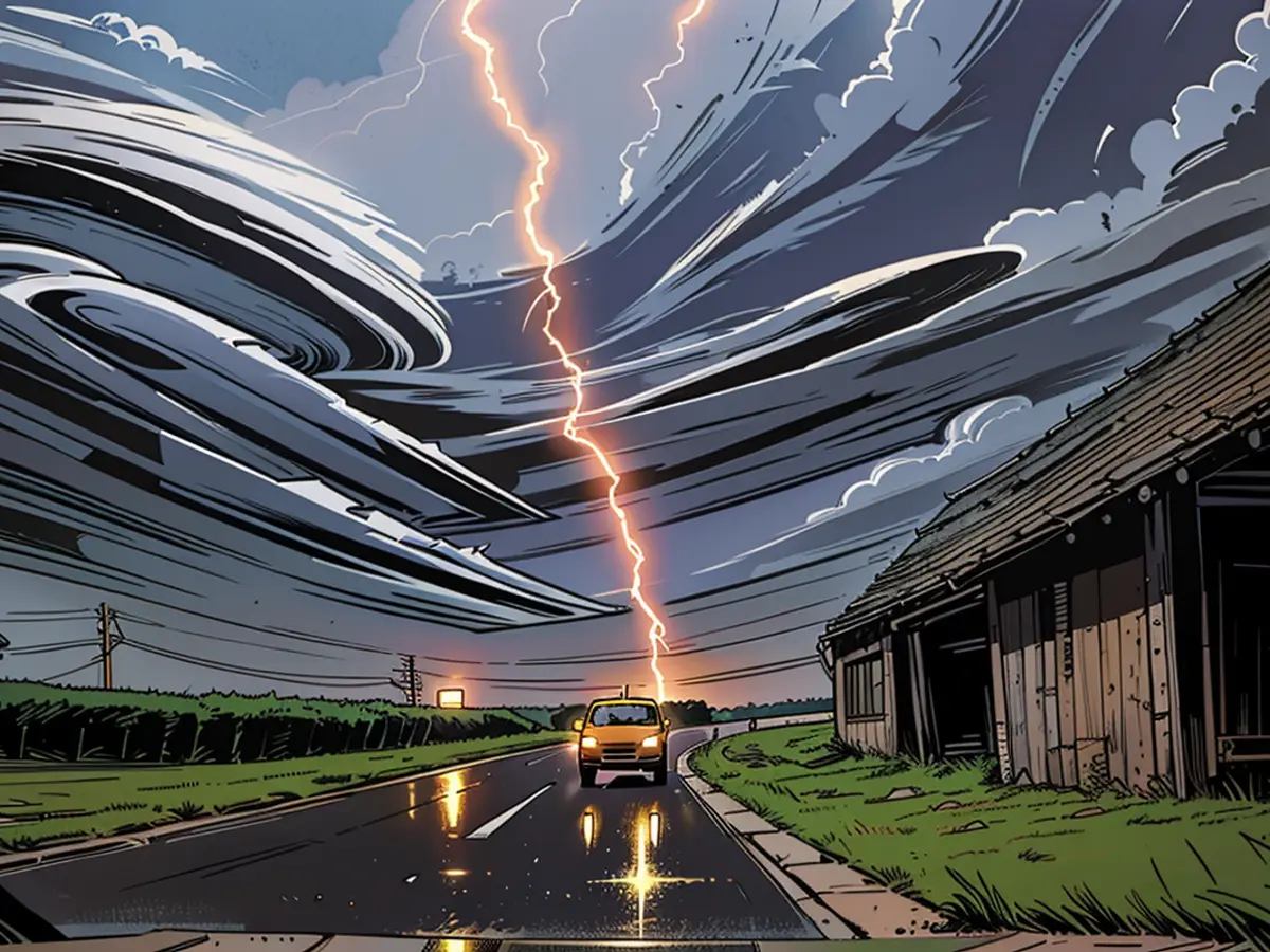
Lightning and heat until Sunday - only then will it cool down
The heat presses in many parts of Germany and it will continue to do so over the weekend. Thunderstorms, which discharge unwetter-like, only relieve the heat to some extent. Real cooling comes only on Monday.
ntv: It's a Schleicher-day, at the same time there are heat and unsettled weather warnings. A bad omen for the further course of the summer?
Bjoern Alexander: Not necessarily. The singularity of the Schleicher has a particularly high probability of occurrence in the southern part of our country. But it refers to the period from late June to the first third of July. And we still have time.
What does the farmer's rule about the Schleicher exactly say?
That a stable weather pattern like a strong Scandinavian high with very relaxed prospects for us in this period can hold for weeks. Conversely, instable and changeable developments also often have long-term effects.
Possible switches for July: How is the current unsettled situation looking?
The situation over Germany will remain tense over the entire weekend. Since Tief "Zoe" with an unsettled weather front is now lying over Germany longitudinally, Tief "Yana's" cold front follows on Friday. Unfortunately, the explosiveness of the air is not yet exhausted. The weekend will be very hot and sweltering with up to 34 degrees on Saturday.
What dangers do we have to reckon with?
In the enormously hot air mass, there is a great deal of energy, which sometimes makes us very lightning-intensive thunderstorms with a thunderstorm character. Although it is still unclear where the focal points are, the potential is clear to assess. In particular, heavy rain is the focus of the dangers. Within a short time, quantities of 50 liters per square meter and more with flooding danger are possible. But hail and tornadoes are also possible. Even large hail and tornadoes are not excluded according to some weather models.
Can it be spatially and temporally limited? In other words: Is there an unsettled weather plan?
The night to Friday brings mainly thunderstorms, especially in the northeast, which later subside. Then we expect again sluggish, even tropical values. In the agglomerations, at the Upper Rhine, and in Berlin, temperatures not below 20 degrees are expected. On Friday, the unsettled potential is particularly high in the south and east, with peaks up to 30 degrees, while it is windy and cooler in the northwest and west with 21 to 25 degrees.
How is the unsettled weather situation on the weekend?
On Saturday, it starts sunny and very hot with up to 34 degrees. Later, the unsettled potential increases in the southwest and west. For details, it is too early. But it could be a very dangerous development that we should keep an eye on and that could make for an uncomfortable Sunday with thunderstorms and heavy, prolonged rain. It will also be windy and cooler from the west. This trend will continue in the next week - the unsettled weather danger will decline rapidly.
No heat, no lightning, but no swimming pool weather anymore?
Here's the translated text:
This is how it looks. Already on Monday, the summer air is pleasant and after 20 to 34 degrees on Saturday and 18 to 30 degrees on Sunday, there are still only 17 to 23 degrees left. However, it has been uncertain and partly gray and rainy since at least Wednesday, with a similar temperature range.
When can we hope for sun and warmth again?
Depending on the model, a summer comeback could be possible starting from Thursday or Friday. However, whether it will be a long-lasting summer, is still open. At least, there are experimental long-term forecasts that promise us a normal to slightly dry July. With around 230 sunshine hours, some summery sections, and slightly above average temperatures, [this] could be the case - if it actually turns out that way.
ntv: The upcoming International Meteorological Organization meeting could provide insights into global weather patterns, including potential impacts on Germany's summer weather.
Bjoern Alexander: Furthermore, meteorologists are closely monitoring the development of numerous weather systems, such as Tief "Zoe" and Tief "Yana," to predict the movement and intensity of any upcoming thunderstorms.


