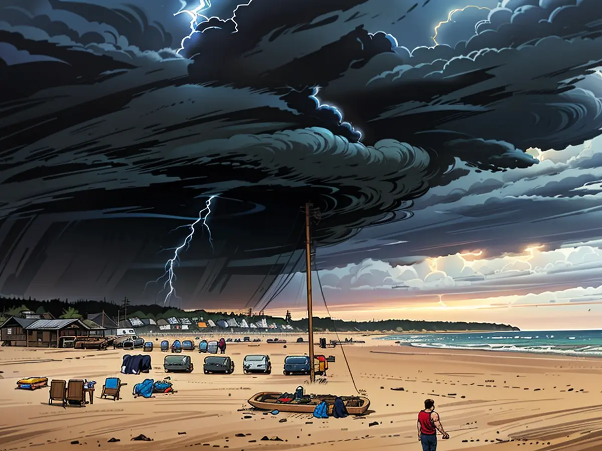
It's going to be a big bang here over the next few days
The capital is surprised by strong rain. Currently, "Elke" brings heavy thunderstorms over parts of Germany. "Frieda" will follow and ensure that the unsettled weather continues for the next few days. Where it is particularly strong, meteorologist Bjoern Alexander knows.
ntv.de: Recently, there have been heavy thunderstorms. Will the chaotic weather continue?
Bjoern Alexander: Unfortunately yes. Although the uncertainties in the weather model forecasts are great, the danger potential is still immense.
How will the situation develop further?
Currently, Tief "Elke" is crossing us, moving from west to north Europe. The greatest thunderstorm and turbulence danger extends into the evening and early night, especially in the south and east of our country, while in the northwestern half, a little fresher air has briefly flowed in.
What should the affected areas in the south and east reckon with today?
There are threats of strong and lightning-intensive thunderstorms with the risk of heavy rain, hail, and gale-force winds. The majority of forecasts for the heaviest rainfall at the peak are around or over 30 liters per square meter within a short time and winds up to 70 to 90 km/h. That is quite significant - especially considering the heavily leafed trees.
What can we expect on Thursday?
The shower and thunderstorm activity is likely to shift towards the extreme south and east, and there will be relative calmness in between. However, Tief "Elke" has departed, and the immense explosiveness of the sweltering air is leaving us for many of us. At least for a short time, before we are hit from Thursday to Saturday with "Frieda" by another weather and thunderstorm low.
What dangers does "Frieda" pose?
In general, the warning levels for thunderstorms may have to be widened again. There is a likelihood of covering the whole of Germany. In addition, some weather computers indicate a significant intensification of the situation.
What does that mean concretely?
First and foremost, the uncertainties of the models are increasing - and unfortunately, so is the danger potential. Along with the considerable heat and heat stress caused by the very humid and therefore sweltering air, there is a threat of lightning-intensive thunderstorms with their accompanying phenomena. These include smaller to medium hail and storm- to hurricane-force winds. Tornados cannot be ruled out especially around Tief Frieda. Furthermore, the moist air mass mixture transports enormous water masses, which some weather computers also convert into heavy rainfall amounts.
How big are the uncertainties, and what should we expect regarding heavy rain?
If you look at the individual weather models, making a decision for this thunderstorm situation is difficult. The calculations show - even in the short term - significant differences. However, even the most extreme assumptions in the forecasts are plausible or credible. And these are atmospheric water bombs that can bring up to 100 liters of rain per square meter within a short time in the worst-case scenario. With the risk of local flash floods and widespread flooding.
The trends of the weather computers leave many questions open, but if it actually happens, they have a very high to extreme damage and severe weather potential in the affected regions. In particular, for planned outdoor events, tent camps or similar, it is always important to closely monitor the developments and warning situation and react early. Otherwise, it could sometimes be life-threatening.
The international weather community is closely monitoring the extreme weather patterns, with Tief "Elke" causing chaos in western Europe and "Frieda" set to follow with similar intensity. The affected areas in the south and east of Germany should prepare for intense thunderstorms, heavy rain, hail, and gale-force winds, potentially reaching up to 90 km/h.


