Intense heat yields to unexpected storms
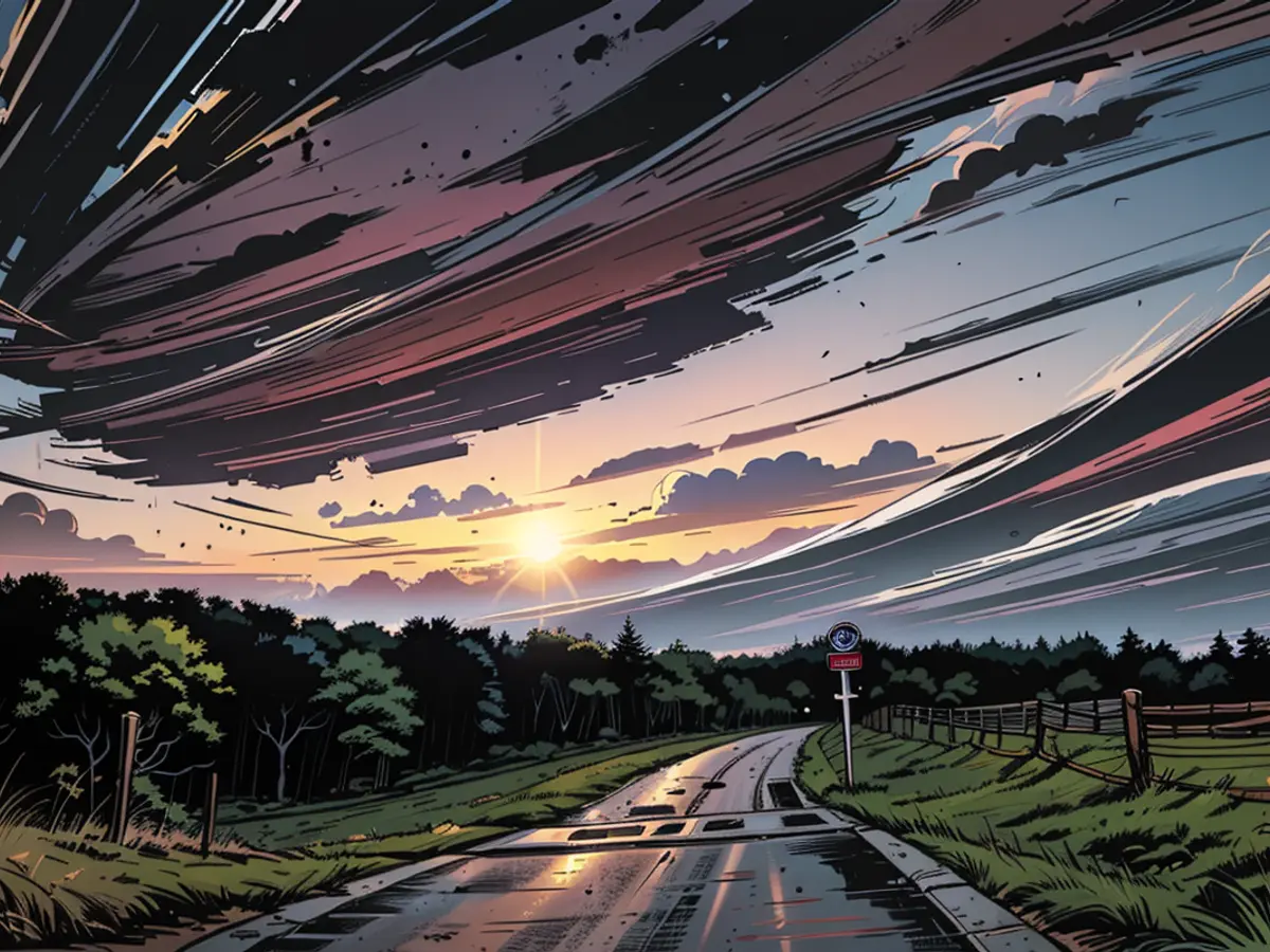
On a scorching Friday, a tempestuous weather front named "Xandria" sweeps across Germany, dumping torrential downpours and fierce winds. Across the country, tumultuous thunderstorms loom large, accompanied by heavy rain, massive hail, destructive gusts, and even the dreaded tornados.
The nation is sweltering in its first heatwave, with temperatures climbing to 30 degrees in the eastern and southern regions. The oppressive humidity only adds fuel to the stormy fire. Moreover, the storm front "Xandria" is marching northeastward over us, transforming serene skies into a whirlpool of unpredictable destruction.
This meteorological mayhem spawns formidable supercells capable of generating hail cores as big as five centimeters. Not only that, but deluges of up to 100 liters of rain per square meter per hour are possible. These conditions are perfect for tornados, particularly in the regions of Saxony to South Brandenburg, but also in the Czech Republic and Poland.
Elsewhere in Germany, the skies rumble with thunderstorms, menacing with hail, rain, and gale-force winds. The thunderstorm risk is relatively low from the Baltic Sea to the north of Baden-Württemberg, but no place is completely safe—it's anyone's guess when, where, and what the storm will bring. As the storms roll in, they trigger an inferno wherever they touch down, adding to the uncertainty and danger.
Public Safety Warning
Until the afternoon, scattered thunderstorms pose a risk of heavy rain in the south to central Germany. Already, the southern and central regions are drenched and thunderstruck. In the evening, storms are likely to blanket Bavaria and the northeast, with new thunderstorms brewing in the southwest to north. The stormy conditions will linger over Bavaria and the Baltic Sea throughout the night, with the thunderstorm risk gradually subsiding.
Owing to the severe weather, open-air viewing areas for the UEFA Football European Championship need to shut down or not open at all. It's advisable to heed these warnings and steer clear of gathering in adjacent plazas. The potentially treacherous weather could erupt at a moment's notice, with hail and high winds posing both property damage and injury risks.
However, there is a silver lining: On Saturday, more thunderstorms are predicted in the south due to shower cells. After that, the weather conditions will gradually improve, allowing for a sunny, warm, and relaxing weekend. By Monday and Tuesday, a widespread calm is expected, with clear skies, summer warmth, and dry conditions offering much-needed respite.
Read also:
In light of the international meteorological community's forecasts, extreme weather conditions are expected to persist, with "Xandria" continuing its stormy path through neighboring countries. Global weather experts urge caution as these extreme storms can bring severe destruction.
Given the ongoing threats posed by extreme weather events such as "Xandria," the International Meteorological Organization is urging all nations to strengthen their weather warning systems and emergency response mechanisms.


