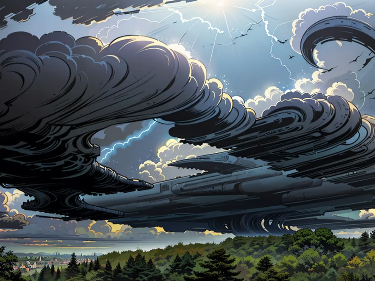
Frieda rolls over the country, then "brave summer weather"
*We need to go through it again: Tief "Frieda" brings more humid air with strong rain and thunder until Sunday, only then will there be a chance to breathe. In the coming week, it should then calm down, and pleasant summer weather will spread out.
ntv.de: Germany is like a washing machine - with humid air, where thunderstorms keep loading. But a real cooling off is not brought by lightning and thunder. Why is that?
Bjoern Alexander: Fundamentally, a proper air mass exchange, such as we experience with the passage of cold fronts, is missing. Instead, the extremely humid air is not being cleared out properly. Only at the weekend is there finally a chance to breathe again. A weather change, which will keep us occupied until Sunday and cause quite a ruckus.
So it goes. But a light at the end of the tunnel is definitely in sight. Before that, Tief "Frieda" lays down energized air, before the deep itself follows and brings us fresher air afterwards. In the process, the uncertainties of the forecasts are gradually decreasing, and it is becoming clearer how Unwettertief "Frieda" moves from Friday to Saturday over us and where it may still keep us busy on Sunday.
A weather story with a happy ending, how does it begin?
It all starts in the night to Friday, when Tief "Frieda" builds up from the west and brings with it partly strong showers and thunder, as well as the risk of prolonged heavy rain. Meanwhile, it is calmer in the east after the last lightning, and at least it is a bit cooler than before with temperatures around 15 to 18 degrees.
What should we prepare ourselves for on Friday?
The center of "Frieda" moves slowly over the west and north of our country. The weather computers have a lot of rain in store. 20 to 40, sometimes even up to 50 liters per square meter are possible. At the same time, the situation in the areas to the south of the low pressure center becomes even more pronounced.
Why?
Because heavy thunderstorms can form from the southwest over Bavaria and Thuringia to Sachsen and Berlin/Brandenburg. With a north-eastern wind direction, heavy rain up to over 50 liters per square meter, moderate to large hail, and storm- to hurricane-force winds are threatened. Individual tornados are not to be ruled out. That's all with temperatures between 18 and 28 degrees; it's warmest in the east.
Where is the likelihood of tornados increased?
On the one hand, in the vicinity of the thunderstorm cells in the south and southwest, where they form and then move north-eastwards. On the other hand, but also in the vicinity of the low pressure center, where the tornado parameters of the weather computers jump significantly. That would be from NRW and Hesse to Lower Saxony, Hamburg and up to the Baltic Sea.
How does the unsettled weather situation develop further?
In the night to Saturday, the weather models speculate that thunderstorm cells will merge into larger clusters. The wind direction varies strongly in the individual models. Our eastern neighbors from the Czech Republic via Poland could be affected. However, there are also individual assumptions that the east of our country will also be in the thunderstorm and heavy rain zone.
With what consequences?
There are potentially more than 100, perhaps even over a liter per square meter. However, it should be repeated once again: That is by no means the most likely scenario, but it shows how much potential this weather situation holds.
What does the weather bring us on Saturday?
From Mecklenburg-Vorpommern to Schleswig-Holstein and down to Hamburg, further rain follows, some of which is thunderous in character. The rain is then mostly over by afternoon and evening, and we have the worst of the thunderstorms behind us.
What about Sunday?
Depending on how "Frieda" behaves in the north or moves further, it could get stormy there, perhaps very stormy. A major storm event is not entirely ruled out. Therefore, we must definitely keep an eye on this development. It will be fresher here with temperatures between 18 and 27 degrees.
What do the weather computers show in the next week?
Often pleasant summer weather. On Monday, there is a lot of sunshine and only local thunderstorms in the south and west, with temperatures between 21 and 31 degrees and no major heat. Tuesday brings thunderstorm remnants from the east and southeast in the morning, while it is likely to be sunny and dry with temperatures between 20 and 30 degrees in the larger part. It looks similar on Wednesday.
Despite the challenges posed by Tief "Frieda," the International Meteorological Organization is closely monitoring the extreme weather conditions. Unfavorable weather continues to impact various parts of Germany, with heavy rain and thunderstorms prevalent. However, the forecast suggests a change in weather starting Sunday, bringing a much-needed respite.


