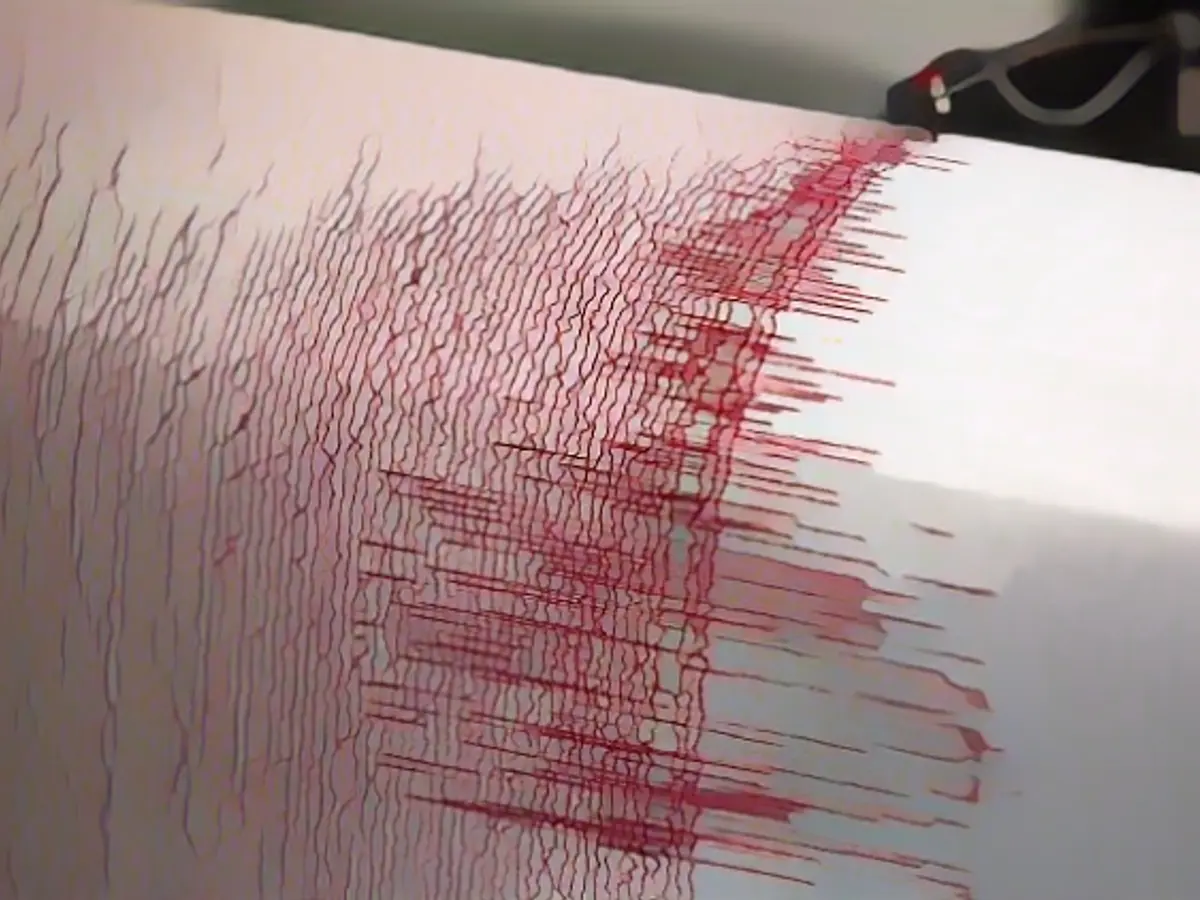
7.1 magnitude seaquake recorded in the South Pacific east of Australia
An earthquake with a magnitude of 7.1 occurred in the South Pacific east of Australia on Thursday. The US earthquake monitoring station USGS located the quake between the island state of Vanuatu and the French overseas territory of New Caledonia at a depth of around 48 kilometers. There was initially no information about possible casualties or damage. The earthquake monitoring station had initially estimated the magnitude of the earthquake at 7.3.
The US authority NOAA warned of the threat of dangerous tsunami waves within a radius of 300 kilometers of the earthquake's epicenter. Vanuatu and New Caledonia are located on the so-called Pacific Ring of Fire, the most geologically active zone on earth.
Read also:
- Year of climate records: extreme is the new normal
- Precautionary arrests show Islamist terror threat
- Numerous oil, gas and coal lobbyists at climate conference
- COP28: Emirates announce fund for climate projects
The seaquake's potential impact extended beyond initial estimations, as the US authority NOAA issued a warning for dangerous tsunami waves within a 300-kilometer radius of the South Pacific epicenter. Despite being located on the seismically active Pacific Ring of Fire, Australia fortunately remained unaffected by the 7.1 magnitude quake and subsequent tsunami waves. The strength and magnitude of the quake served as a reminder of the unpredictable nature of seismic activities in the South Pacific region.
Source: www.ntv.de


