Weather - "Zoltan" is here: Severe storm surges are imminent
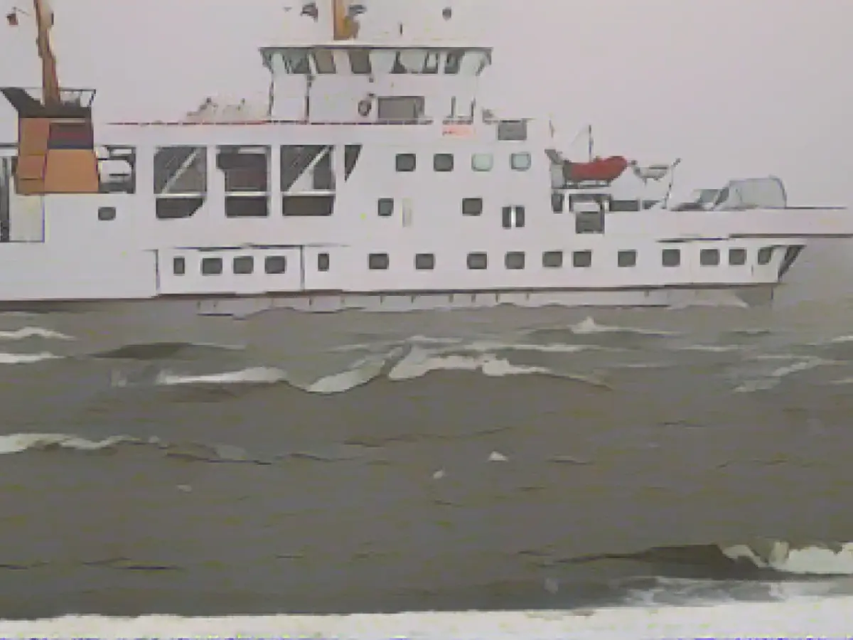
People on the Elbe, Weser and Ems must prepare for severe storm surges. Water levels in the rivers are expected to rise to more than 2.5 meters above mean high water on Friday morning, as the Federal Maritime and Hydrographic Agency (BSH) announced on Thursday. Severe storm surge applies from a water level of 2.5 meters above mean high tide. Hamburg, Bremen and Lower Saxony are affected.
The storm surge expected for the North Sea coasts and rivers on Thursday evening already has the potential to rise to the level of a severe storm surge: "We are now seeing a tendency for a severe storm surge to occur on Thursday evening," said Jennifer Brauch from the BSH forecasting services for the North Sea and Baltic Sea. The forecast will show more details at midday.
Hamburg police warn against staying on the Elbe
For the North Sea coast, water levels are already expected to be 1.5 to 2.0 meters above the mean high tide. In the Elbe and Weser regions, they could climb to 2.0 to 2.5 meters above mean high water.
The Hamburg police warned against staying in low-lying areas around the Elbe during the expected storm surge on Friday night. This applies in particular to the harbor, Hafencity and areas close to the Elbe. Buildings in these areas should also be protected from flooding and vehicles should be parked in higher areas.
Gale-force gusts
The German Weather Service (DWD) is also expecting heavy squalls on land and gale-force winds on the coasts of the North Sea and Baltic Sea on Thursday. It warned of gale-force gusts with wind speeds of up to 115 kilometers per hour on the entire North Sea coast from 12:00 noon. For the Baltic Sea, the storm warning was in effect from 6 p.m., as DWD meteorologist Mareike Pohling said.
At the same time, it will continue to rain a lot and thunderstorms are also possible, for example around the Harz Mountains. The DWD warned of heavy continuous rain here. This will probably continue throughout the weekend, said Pohling. In the Harz Mountains, some heavy squalls and rainfall of between 60 and 90 liters per square meter are expected. According to the information, up to 120 liters can be reached in congested areas.
Christmas market closed as a precaution
The Harz narrow-gauge railroads suspended train services to the Brocken due to the stormy weather. On Thursday, traffic between Schierke and the Brocken summit was suspended, according to an HSB spokesperson. Trains on the rest of the route network are scheduled to run as planned. Storm consequences also in North Rhine-Westphalia: as a precautionary measure, the Essen Christmas market, for example, remained closed on Thursday.
Severe storms are not unusual for this time of year, said meteorologist Pohling. "It's not an everyday situation, but it's also not unusual to have a storm in winter."
It will also remain very rainy and windy towards the weekend and over the Christmas holidays. "It won't be quite as much as today, but you can always expect strong and stormy gusts," said Schönebeck. He is not hopeful that the precipitation expected in the coming days will come down as snow. At best, one or two centimetres of snow could fall in the very highest areas of the Sauerland on Friday night. But even that threatens to melt away quickly.
Few Christmas temperatures
Lots of rain and stormy winds are also forecast for the rest of Germany. Highs on Thursday will reach a less than Christmassy 5 to 12 degrees. Meteorologists have predicted heavy snowfall for the higher elevations of the Bavarian Forest.
On Friday, it will be mostly cloudy and often rainy, especially in the Black Forest and in the Alps there may be heavy precipitation in places, with snow at higher altitudes. The snow line will be around 1200 meters in the Alps and 600 meters in the low mountain ranges. With highs between 4 degrees in the north-east and in the mountains and 11 degrees along the Rhine, it will remain fairly mild for the time being.
Read also:
- Snow chaos further restricts Bavaria
- Unanimous decision: faster wolf culls possible
- The year of climate records: extreme is the new normal
- Snow and ice paralyze southern Germany
- The severe storm surges in Bremen will be a significant concern due to its location on the Weser, a major river in Lower Saxony.
- The Federal Maritime and Hydrographic Agency (BSH) issued warnings for the entire North Sea coast and rivers, including Schleswig-Holstein.
- Shipping in the Baltic Sea could be adversely affected by the extreme weather conditions and storm surges.
- Throughout Germany, people are advised to monitor the weather closely, especially if they live near rivers like the Elbe or the Ems.
- In response to the storm surge warnings, the police in Offenbach urged residents to stay indoors and avoid low-lying areas during the weekend.
- The storm surge could cause a flood, threatening to inundate parts of Hamburg, a major city in Germany's north.
- Storm warnings were also issued for the North Sea coast of Lower Saxony, with water levels expected to exceed 2 meters above mean high tide.
- The waves and high water levels on the North Sea coast will have an impact on the Lower Saxony's coastline, causing potential damage to infrastructure.
- Bad weather from the storm surge could also pose a threat to coastal cities like Cuxhaven in Lower Saxony and Wismar in Mecklenburg-Vorpommern.
- People who live in areas prone to flooding, such as those near rivers that flow into the North Sea, should take precautions and prepare for the storm surge and potential floodwaters.
- The storm surge and floods could have serious consequences for travel and transportation along the North Sea coast, with roads and railways potentially closed due to high water levels or damage.
Source: www.stern.de


