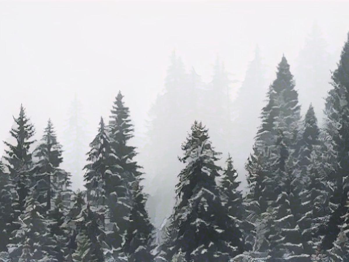
Winter snows in at the weekend
It wasn't too long ago that hardy people could still get by with a T-shirt as outerwear. Now it's getting wintry again for the first time: snow can fall not only in the mountains. However, the white splendor is not permanent for the time being.
ntv.de: After storms and floods: Is the weather in Europe calming down again?
Paul Heger: Not really. From Italy to Greece, a stormy depression will bring large amounts of rain from Friday to Sunday. Western Europe, such as the flooded regions in the north of France, will also see some more rain. It will continue to be stormy here too.

In other words, a really miserable fall. Is winter already in the starting blocks?
For a long time. Scandinavia has been covered in several centimetres of snow for weeks. There has been a slight warming recently. But the winter weather will spread again. We'll feel it too.
Will there be snow in Germany?
At this time of year, you can almost always answer: "Yes, if necessary in the high mountains." But it will actually be white at the weekend, even away from the Alps, at least for a short time. Winter is stalking slowly and in small steps.
Is it already clear when it will start?
Not much will happen on Friday, at least in terms of snow. As recently, the snow line is around 1000 meters. It will be dry in places anyway, with some hope of sunshine. On Saturday, however, things will slowly get going. The snow line will drop to around 800 meters, locally a little lower. It may snow a little further down on Sunday.
In which regions of Germany is it snowing?
On Saturday, we'll be dealing with quite wild showery weather - so here and there in the higher mountain regions, especially in the northern and western foothills of the mountains. Sunday still raises big question marks. The showers in the east will move away, which means it could still be a bit flaky, especially in the Ore Mountains. There are signs of new precipitation in the southwest and the Alps. But whether at midday or during the night and how intense is questionable.
But the lowlands are out?
Well, for most regions the answer is a resounding yes! But from Swabia to Bavaria to Franconia, not everything is clear yet. Individual weather model calculations produce wet flakes as far as Augsburg, Munich and Nuremberg between late Sunday evening and Monday afternoon. In other words: it remains exciting.
How much snow can there be?
It's likely to be really limited away from the Alps. In the higher elevations of the low mountain ranges, it's usually five to ten centimetres. And even less at lower altitudes - if there is any at all. The ground is still quite warm and is heating the snow away.
Is this the beginning of winter?
It will be milder again next week. Winter has only really arrived at high altitudes in the Alps. But as early as the new week, things could go downhill again and snow could play a bigger role.
Wasn't it recently said that November would remain mild?
No. In fact, there have always been a few cool to cold forecasts. These are now in the majority on a daily basis. But the much milder forecasts still exist. In other words, we will probably continue to experience changeable and very uncertain weather conditions. Quite typical for this time of year.
"Quite typical" means that we're not experiencing any of the global temperature records?
Oh yes, it does. We didn't have one record-breaking month after another, but both September and October were almost summer-like months in many areas. November is also likely to be much too mild overall. The cooler phases now are more of a hint of normality. Nevertheless, the year as a whole is also on course for a record here, just not as clearly as globally.
Is there already a rough trend for December?
That is actually very difficult. We can already see the uncertainties for the coming weeks. The experimental long-term models, which should be treated with caution, predict a reasonably mild December. That's why we don't yet see a severe onset of winter.
So a white Christmas is not yet an issue for the weather experts?
Everything is still possible: green, gray, white. We'll talk about that another time.
The international meteorological forecasts indicate that wintry conditions are spreading across Europe, not just limited to the high mountains. In Germany, winter snows are expected to fall in the lowlands at the weekend, bringing a temporary white splendor.
Source: www.ntv.de


