Winter is really turning up the heat now
Low pressure system "Robin" brings a fitting start to the meteorological winter: After a short breather, this also means new freezing rain, black ice and new snow in the lower regions. ntv meteorologist Björn Alexander uses the start of December to take stock of the fall.

ntv.de: What are the current forecasts?
Björn Alexander: At the moment, low pressure system "Robin" is intervening in the weather from the southwest. This is particularly affecting the south of our country. An extremely dangerous mix of weather and slippery conditions is now in the offing here. This is due to an air mass boundary where milder air from the south briefly meets the cold air.
What does this mean in concrete terms?
The snow line rises briefly, causing sleet or rain to mix in at altitudes below around 800 meters. This in turn causes freezing rain and black ice with an extreme risk of slipperiness. Especially as the cold air then moves in, so that the wetness can freeze over before it is followed by more snow. A nasty mix! All of this at night with temperatures around freezing point in the southern half and severe frost in the north.
Where will the temperatures drop to in the north?
After reaching lows of around minus 15 degrees on Thursday night, it will be similarly arctic on Friday night. Above the snow and under clearing skies with lows of around minus 12 degrees.

What can we expect on Friday?
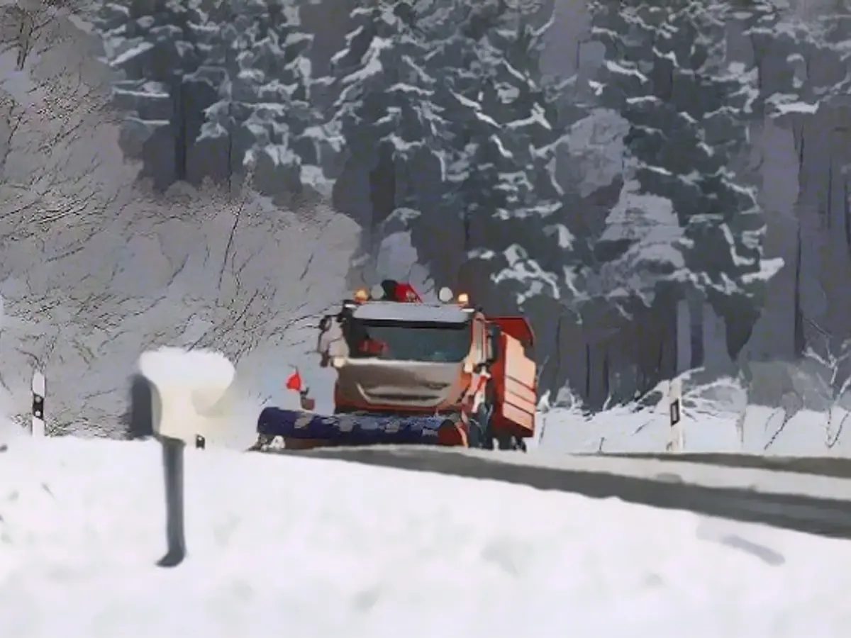
More snow south of the low mountain ranges, which will continue to fall as rain or freezing rain for a long time from the Upper Rhine to Lower Bavaria, but will increasingly change back to snow as the day progresses. We can also expect snow showers on the coast, but in between it will remain dry and sunny at times. Temperatures: still cold with frequent permafrost in the center and north and 0 to 6 degrees in the south.
And at the weekend?
On Saturday, there will be more snow in the south and east, while in the northwest it will continue to be changeable with sunny spells. It will also get colder again in the south - with freezing nights, a sometimes brisk wind and daytime highs of minus 6 to plus 2 degrees, which will feel like double-digit minus temperatures in places. It will remain similarly cold on Sunday, but the snow showers will ease and the south will even get sunny winter weather.
How much snow can the south expect before the weather calms down?
It is still difficult to say in detail for the lowlands due to the fluctuating snow line. However, new snowfall of 5 to 20 centimetres is conceivable. In contrast, the higher elevations, where it snows consistently, could see snow accumulations of half a meter or more at peak times - especially towards the Alps. There is also a threat of snow drifts and drifting, with a corresponding increase in the risk of avalanches.
Meteorologically speaking, winter begins on December 1. How will this fall go down in the weather chronicles?
Very generous in every respect. Too warm, far too wet and yet with above-average sunshine. A quite unusual mixture, which was mainly due to the low pressure systems and gave us the rainiest autumn since 2002. We also experienced the warmest fall since 2006.
And this despite the icy cold that is currently dominating Germany?
September, in particular, is the key month in terms of sunshine and warmth. With almost 250 hours of sunshine and an average temperature of almost 17.5 degrees, it initially gave us a golden start to the fall.
But that changed dramatically...
At least in terms of rain. October brought Germany an average of around 100 liters per square meter - a good 170 percent of the normal rainfall target. The weather conditions were even more intense in November. With over 120 liters per square meter, almost twice the usual amount of precipitation fell from the sky.
Where was it wettest in November?
Three weather stations in the south reported well over 500 liters per square meter: Bernau-Goldbach with over 540 liters, Sankt Blasien-Menzenschwand with over 530 - both locations are in Baden-Württemberg - and Balderschwang in Bavaria with around 520 liters per square meter. In terms of the annual total, we have already reached over 100 percent in Germany. This corresponds to an average of 840 liters per square meter in Germany.
On the subject of water in the soil: are there still corners of Germany that are too dry?
Not directly in the topsoil, actually. In the deeper soil layers of one to two meters, only very occasionally. All in all, however, the development is really great for the water balance in general and for groundwater recharge in particular, so we can look forward to the following spring with a more relaxed outlook. It hasn't looked this good for years - especially as the experimental long-term forecasts also predict that the winter of 2023/2024 will be too wet.
What other anomalies are worth mentioning in the details of the climate balance?
For example, the temperatures in September and October. September was almost 4 degrees too warm compared to the long-term climate average, which is the reference period from 1961 to 1990, making it the warmest September since regular records began. October was also at the top of the list, with a temperature surplus of 3 degrees, making it the fifth warmest October since 1881. There were only two colder phases: one with the first night frost of the season in October and then the striking onset of winter in the last third of November.
- Despite the cold air moving in, the snow line temporarily rises, leading to a situation where sleet or rain mixes with snow below around 800 meters in the Alpine regions, resulting in dangerous freezing rain and black ice.
- As international meteorological winter begins on December 1, this fall has been marked by extreme anomalies, including being the warmest fall since 2006 with above-average sunshine, even amidst the current icy cold dominating Germany.
Source: www.ntv.de


