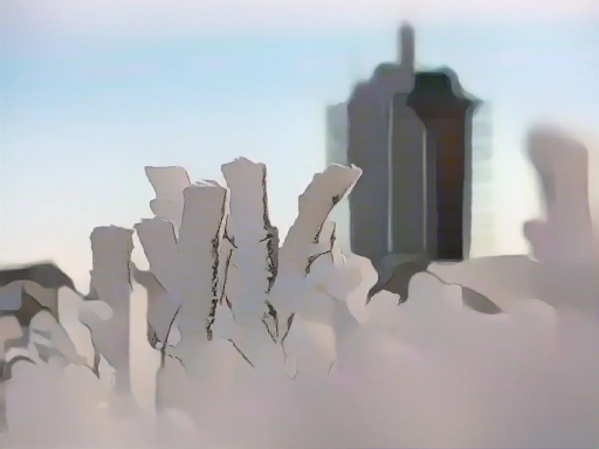
Winter is coming - snow and falling temperatures
Towards the end of the week, it will become increasingly cold and wintry in Germany. "There will be repeated snow, sleet and rain showers", said meteorologist Marcel Schmidt from the German Weather Service (DWD) in Offenbach on Thursday. The wind will still be gale-force on Friday, but will subside over the course of the weekend.
On Friday morning, it may turn white even at low altitudes, but the snow will not last long due to the still warm ground and temperatures of 4 to 10 degrees. The situation is different in the Alps, where 30 to 50 centimetres of snow are expected over the course of the weekend with continuous snowfall. In the low mountain ranges, a snow cover of between 5 and 20 centimetres may form above around 400 to 600 meters over the next few days. Larger amounts of snow are also possible in the Black Forest and the Ore Mountains.
The sky on Friday will present itself with a rapid change of sun and clouds. There will also be numerous showers, which will fall as snow above 300 to 600 meters. The wind will be gusty.
Snow line at 300 to 500 meters
Further precipitation will continue to fall on Saturday night, some of which will change to sleet or snow down to lower altitudes. It may become icy in some areas. It will be similar during the day with temperatures between 0 and 5 degrees, with temperatures of up to 7 degrees possible in Emsland and on the Lower Rhine. At night, temperatures will drop to 0 to minus 5 degrees.
A fairly sunny Sunday awaits people in the north-eastern half of the country, where it will remain mainly dry. In the south-western half, on the other hand, it will be gray, with showery precipitation from time to time. The snow line will be between 300 and 500 meters. The coldest temperatures will be in the east and south at minus 1 to plus 3 degrees, otherwise it will be between 3 and 6 degrees.
The weather forecast for the weekend predicts continued snowfall in the Alps, resulting in 30 to 50 centimeters of snow accumulation. Due to the warmer ground and temperatures, the snow at lower altitudes is expected to melt quickly on Friday.
Source: www.dpa.com


