Storm - Tropical storm "Jasper" reaches Australia's east coast
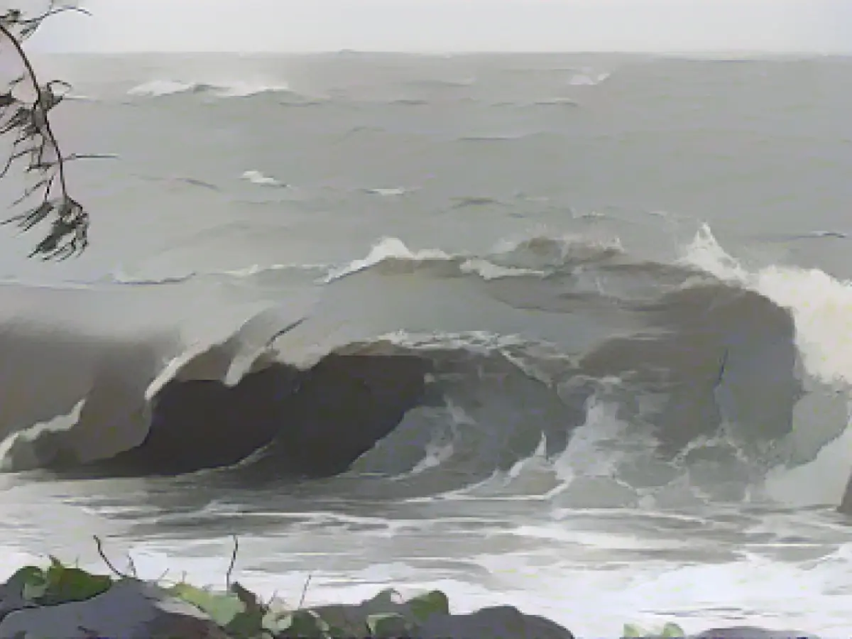
A category two out of five tropical storm has begun its path over a sparsely populated coastal area in north-eastern Australia near the city of Cairns. Officially, however, "Jasper" has not yet made landfall, as the eye of the storm is not yet moving over the coast, said Steven Miles, the deputy head of government of the affected state of Queensland. This should happen this evening near the town of Wujal Wujal, the Australian Bureau of Meteorology announced on X (formerly Twitter).
The cyclone is expected to move across the area between Cairns and Hope Vale with wind speeds of up to 140 kilometers per hour and will most likely cause flooding, the Australian news agency AAP wrote early on Wednesday. According to the report, heavy rain had already fallen before the arrival of "Jasper". More than 15,000 households were without power, Miles added. More than 90 people had already sought emergency accommodation.
Miles called on residents to get to safety. "Now is not the time to move outside," he said. There was initially no information about injuries or specific damage.
Read also:
- Snow chaos further restricts Bavaria
- Unanimous decision: faster wolf culls possible
- The year of climate records: extreme is the new normal
- Snow and ice paralyze southern Germany
The tropical storm "Jasper" is projected to bring significant wind speed, reaching up to 140 kilometers per hour, to the coastal area between Cairns and Hope Vale in Australia's east coast. Residents near Cairns, specifically in the city of Cairns, are potentially at risk during this weather event. Bad weather conditions associated with "Jasper" can lead to power outages, as reported by Steven Miles, with over 15,000 households already affected. The arrival of the storm could also result in flooding, making coastal areas particularly vulnerable during this time.
Source: www.stern.de


