Storm "Niklas" brings freezing cold to Germany
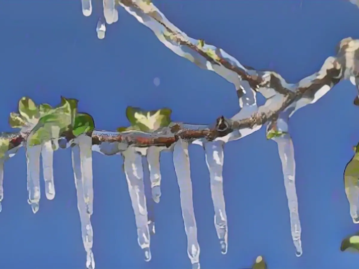
If you're still on summer tires, things are starting to get tight. This is because the freezing cold permanent winter in Scandinavia is now reaching out to us, especially in the south and east with the chance of snow down to the lowlands. But other parts of the country are also threatened by frosty nights with corresponding icy conditions. ntv weather expert Björn Alexander knows what it will be like.
ntv.de: There seems to be an exciting development in the weather. What is the current situation?
Björn Alexander: For weeks, Scandinavia has been shivering under an ice cap with temperatures well below -20 degrees in some places. And this bubble of cold air is now being tapped repeatedly. First on the back of low "Marco", which in combination with the following high "Bionda" will bring us some peace and quiet including night frost. After this brief improvement in the weather, the next storm depression on Thursday will bring another surge of mild, humid air, followed by the next Nordic cooling on Friday - with the first real hint of early winter and increasing chances of snow as far as the lowlands.
So it's time to change your tires?
Definitely. Anyone still on summer tires should act quickly. Especially as it can get slippery on the roads not only at the weekend. There will be more showers around the Ore Mountains and the Alps as early as Wednesday night, with snow down to lower altitudes and the risk of slippery conditions. Otherwise it will be increasingly dry, but often frosty cold and therefore also slippery due to frost or freezing rain. The edge of the Alps will also see more sleet and snow showers during the day on Wednesday, with a corresponding risk of slippery conditions.
What will Wednesday bring for the rest of the country?
For a short time, we will be able to experience the dream of a golden autumn. Away from or after fog or high fog, the sun will make a temporary guest appearance. It will remain cool to cold with light permafrost in the mountains and a maximum of 7 degrees in the lowlands.
And after that?
Then comes the time of low pressure system "Niklas". With its center, it moves across the Arctic Ocean to Scandinavia and is definitely a real banger because it is quite intense and just as extensive. Niklas" will tap into mild air for us in Germany on its front side, but will send us cold air from northern latitudes on its back side from Friday - and there will also be plenty of wind in between.
What capricious weather can we expect?
The heaviest capers will certainly be in northern Europe and especially in the Scandinavian mountains, where there will be heavy snowfall and drifts. The latter will of course be caused by the wind, which will hit the coasts with gale-force winds of up to 150 kilometers per hour as a result of "Niklas". At the same time, however, the main storm field is also affecting us.
Storm danger in Germany - where will it be most severe?
At the peak on Thursday, there is a threat of heavy squalls on the coast, while gale-force winds of up to around 120 kilometers per hour are expected on the North Sea, sometimes even more. In addition, Thursday will bring the next episode of dirty weather. At least in the center and north. With the wind, it will be cloudy and wet again. Only the south will be friendlier and dry. All of this at a milder 3 to 13 degrees.
What details will the next onset of winter bring us?
From Friday, we will once again be on the cold side of the low pressure system, which will again tap into air from the north. As a result, we can expect widespread changeable and partly wet and cold showers with snow falling down to lower altitudes, especially in the south and east. In addition, strong to gale-force winds will blow again, especially on Friday, making the 3 to 9 degrees feel much colder. The perceived temperature, the so-called wind chill, will be between minus 5 and plus 7 degrees on Friday lunchtime.
And at night?
It will be increasingly frosty, so we'll start the weekend on Saturday with a lot of shivering. Those who are drawn to the streets or outdoors in the morning can expect temperatures between minus 10 degrees on the mountains and plus 2 degrees on the Lower Rhine and at the North Sea.
What about the icy conditions?
It will keep us busy again. Because the frosty values at night will be joined by further snow or sleet showers as well as freezing rain or frost. The weather computers are showing the largest amounts of snow in the higher mountainous areas, where 20 to 40 centimetres of fresh snow or more could well accumulate by the end of the week. The temperatures are still in line with this. During the day at the weekend it will be a maximum of minus 1 to 8 degrees in early winter.
How long will the snow and cold last?
That is still very uncertain. Nevertheless, the chances of early winter are still good at the turn of the month. According to the Canadian weather model, for example, large parts of our country would be white at the start of December. The European model shows a snowy start to December in the eastern half of the country and in the south. In short: early winter is here to stay.
With the approaching winter weather, international cooperation in tire distribution may become necessary.Björn Alexander's forecasts indicate that not only Germany but also other EU countries will experience frosty nights and corresponding icy conditions, necessitating the use of winter tires.
Given the increasing frequency of extreme weather events, Björn Alexander suggests investing in high-quality winter tires, like those favored by Scandinavians, for long-term safety on the roads.As the harsh Scandinavian winter with its low temperatures and snow becomes more frequent in other parts of Europe, it's essential to invest in durable, slip-resistant winter tires, such as those that Björn Alexander recommends for Scandinavians, ensuring safer driving even under adverse winter conditions.
Source: www.ntv.de
