"Sani" brings milder air, but the icy conditions remain
Munich is snowed in and even the Rhineland has received snow. But the peak of the cold spell is over, with low pressure system "Sani" bringing moist and milder air, at least to the west. But beware: the icy conditions are here to stay, as Björn Alexander knows.
How wintry has Germany started the new week?
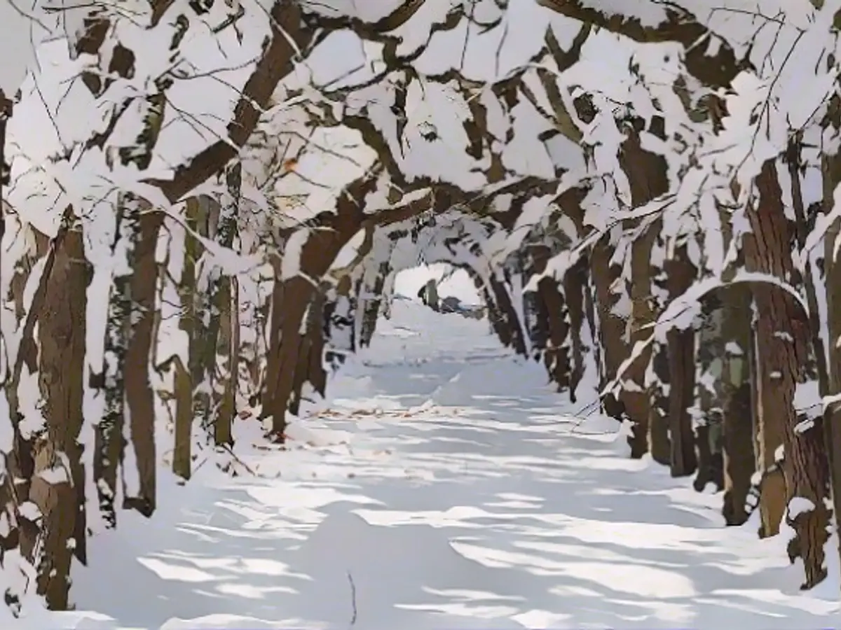
Björn Alexander: Extremely wintry. This applies in particular to a snow situation that is rarely reported, as white icing has now also fallen in the otherwise rather snow-poor Rhineland and the Lower Rhine. The thickest blankets of snow are of course on the mountains: the Zugspitze with 275 centimetres, the Nebelhorn with 215 centimetres and the Großer Arber with 109 centimetres. But the lower altitudes are also reporting 40 centimetres and more in some cases.
Where is the most snow in the lowlands?
Especially in the south, for example in the region around Munich, the snow conditions are record-breaking - or at least in the league of a once-in-a-century event. This applies to both the highest daily snowfall and the total snow depth, with the corresponding consequences in terms of lows, for example.
How cold is it?
The wintry phase reached its peak on Monday night. In Haidmühle in the Bavarian Forest it was almost minus 24 degrees, in the outskirts of Munich, such as at the airport, around minus 18 degrees. It wasn't this cold at Munich Airport in the whole of last winter.

Will it stay this bitterly cold?
With "Sani", a low pressure system is approaching from the English Channel, bringing wetter and somewhat milder air. This is particularly true in the west and north-west before the depression weakens. In this respect, the cooler air will return in the middle of the week. From Friday, the next attempts at moderation will follow, which could bring a thaw to the east. However, it is still difficult to say how quickly and sustainably this will happen. What is much more certain, however, is that we will be dealing with all aspects of icy conditions until at least the middle of the week.
What is the timetable for the icy roads?
On Tuesday night, snow will fall at times in a strip from Lower Saxony via Thuringia to Bavaria, with rain or sleet to the west. There is a risk of slippery snow, with freezing rain in the west at higher altitudes. The lows will be between minus 1 and minus 5 degrees, in the eastern low mountain ranges around minus 8 degrees. Only on the Rhine and in the Ruhr area will it be plus 1 to 3 degrees.
And on Tuesday?
It will remain cold north-east of the Elbe with intermittent snowfall at minus 2 to plus 2 degrees. Otherwise, it will be milder with 3 to 7 degrees and strong winds in places. The whole thing will be repeated with passing rain or sleet showers, with an increased risk of black ice, especially in the central and eastern mountains and in Bavaria. The snow line will be between around 500 meters in the east and 800 meters in the west. However, the frost lying dormant deep in the ground, also known as the "remember effect", can have an aggravating effect.
What does this mean?
That the frost can remain in the ground for a very long time. In this way, the cold can come crawling out of the ground repeatedly, so to speak, to cause dew or rainwater to freeze again. In practice, this means that the car thermometer is easily in the plus range and the frost seems to have cleared directly on the ground, but it can still be slippery in places.
What weather and icy conditions can we expect on Wednesday and Thursday?
Wednesday will be cloudy and cold and wet. Colder air is likely to mix in again in the west. This will cause the snow line there to drop to around 400 meters. We will once again have to prepare for icy conditions, especially in the low mountain ranges and in the north-east. Temperatures will often fall to 0 to 4 degrees, with only the Rhine area being slightly milder at 4 to 6 degrees. At least we can breathe a little easier on Thursday.
Why?
Because in the meantime, a small intermittent high is finally making itself felt in our weather. This means that the last showers in the north-east will subside and the sun will become more widespread. Only along the Danube will the fog patches persist throughout the day. It will remain frosty cold there, while 1 to 5 degrees can be expected in the rest of the region.
Then come the next lows?
It looks like this. The milder air from the west is making renewed efforts to bring a thaw with similar slippery patterns to the east. However, there are still calculations in the weather computers that rate the cold air cushion and the snow as extremely resistant, so that there could still be very wintry corners on the 2nd Advent. The nights will often remain frosty and cold, but it won't be as icy as recently for the time being.
Read also:
Despite the approaching low pressure system "Sani" bringing some moisture and milder air to the west, the international weather forecast warns that icy conditions are still expected to persist. Munich's meteorology department has reported record-breaking snowfall and depth in the region, and residents should be prepared for potential black ice and slippery roads, even as tempers slowly rise.
Source: www.ntv.de


