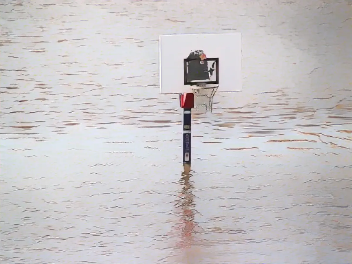
November unusually wet so far - rain continues
The rainy and sometimes stormy autumn weather is set to continue in Germany at the start of the new week. November has already been unusually wet so far and the rainfall target for the whole month has already been exceeded, meteorologist Christian Herold from the German Weather Service (DWD) told the German Press Agency.
From the beginning of the month until Saturday, meteorologists recorded 130 percent of the average amount of rain that fell in the November months of 1991 to 2020. "November is still going on for a while, it could be even more," said Herold. In many parts of Germany, but especially in the southwest and on the edge of the Alps, it was clearly too wet. Only the north-eastern side of the Thuringian Forest, the region around Dresden, the Elbe Sandstone Mountains and the Zittau Mountains were "on target or slightly below" in terms of rainfall, according to the expert.
Continuous rain with amounts between 25 and 40 liters could fall in a strip from Emsland to the Harz Mountains by Monday afternoon. Only in the foothills of the Alps is the sun likely to appear at times, where it will remain dry for longer; in the rest of Germany it will be mostly cloudy with intermittent rainfall. It will remain mild with highs between 8 degrees in Western Pomerania and 14 degrees on the Upper Rhine. In the north and northeast, a weak east to northeast wind will blow, with moderate to strong westerly winds in other regions. Meteorologists are expecting squalls on the mountains. It will also rain at times on Tuesday night and it will cool down to between 7 and 2 degrees.
Lows below freezing
On Tuesday, it will also be mostly cloudy, with isolated clear spells, especially in the north. Showers are expected at times, increasingly mixing with snow in the higher mountain regions. Temperatures will reach 6 degrees in the north-east and up to 11 degrees on the Upper Rhine. A strong gusty north-easterly wind is expected on the Baltic Sea.
Wednesday night will remain mostly cloudy in the south, with snowfall expected in the low mountain ranges and the Alps in particular, which will initially come down as rain in the valleys. The lows will be between three degrees on the Upper Rhine and up to minus four degrees in the north-east, and even down to minus six degrees in the higher eastern mountains. During the day on Wednesday, it will still be snowing in the Alps at first, but later the clouds will clear there and it will be mostly dry. In the north, it will be mostly clear after fog or patches of high fog clear, with dense clouds gathering later. In the evening, some rain is likely to fall on the North Sea. Highs will reach one degree in Lusatia and the Alps and eight degrees on the Lower Rhine. Permafrost is expected in the higher mountain regions.
The forecast predicts more rain in the coming days, continuing the unusually wet weather observed so far in November. According to meteorologist Christian Herold, November has already surpassed its rainfall target for the entire month.
Source: www.dpa.com


