Low pressure brings rain, storm and flood risk
Snow has even fallen on the Brocken. But it has no future - low pressure system "Jasper" is bringing mild air and rain to Germany. This also increases the risk of flooding in some areas. There is no hope of a change in the weather until the weekend.
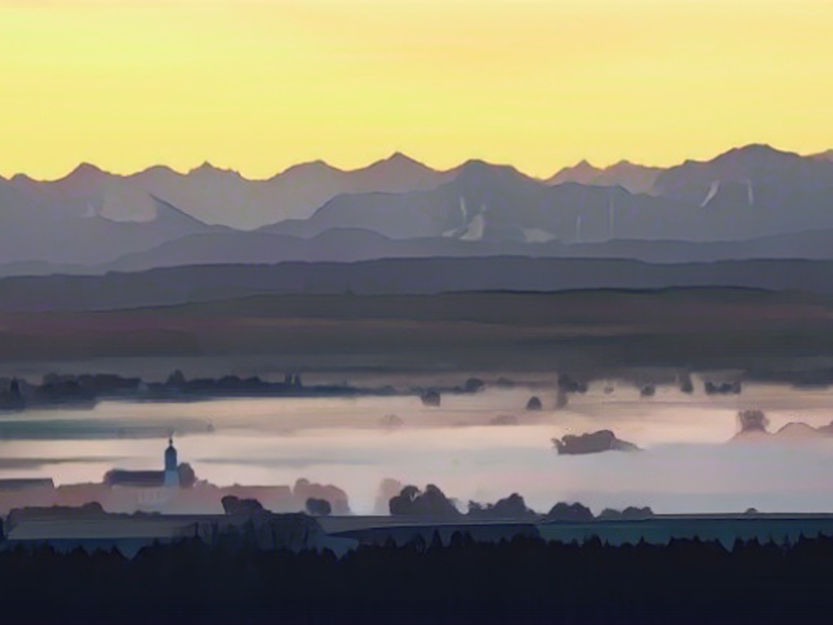
Recently, it looked as if a high pressure system would finally make its mark on our weather in the middle of the week. However, the chances of this happening are now extremely slim. Instead, the computer models have continued to focus on areas of low pressure. The first is low pressure system "Jasper", which will reach Germany on Monday with new rain and milder air. This will also put an end to the snow in the low mountain ranges. Nevertheless, around 20 centimetres of winter white have accumulated in the Black Forest, for example.
In addition to the thawing water from the small snowmelt, however, the forecasts call for completely different amounts of water in the south and southwest: moderate approaches see around 100 liters of rain per square meter in the southern Black Forest and Allgäu up to and including Wednesday. The medium-range representatives among the weather models predict around 100 to 150, the most intensive forecasts up to 250 liters per square meter. For comparison: the average annual precipitation in Berlin is around 550 liters per square meter.
As the soils are often already very wet or oversaturated due to the rainy history, the risk of flooding increases significantly. Initially, this mainly affects meadow and floodplain areas as well as smaller streams and rivers - the latter particularly in the catchment area of the High and Upper Rhine. There is currently no reason to fear major flooding in the rivers.
This is partly due to the fact that the sometimes very intense weather conditions should ease somewhat towards the end of the week. After all, the computer forecasts are finally giving us less wind, less rain and generally changeable weather, in which the sun should have a chance in between. Here are the details:
Monday night: New rain and thaw
Low pressure system "Jasper" coming from the west will bring heavy and prolonged rain to a line between the Lower Rhine and the Bavarian Forest. The snow line will rise rapidly to an altitude of around 2000 meters. This will be reflected in the lows: with a freshening south-westerly wind, they will often be as low as 11 to 7 degrees.

In the north and east, meanwhile, it will remain mostly dry and the clouds will clear more frequently - but fog will form locally. As a result, temperatures will fall more sharply to 4 to 0 degrees, and to 6 degrees at the North Sea.
Monday: The east and north-east will enjoy the longest spells of fine weather
The new week will get off to a wet start, with some prolonged rain slowly spreading to the previously dry east and north-east. In the south and west, winds will be strong and gusty. On the mountains, there may even be heavy squalls of up to 100 km/h. Temperatures are on the rise with 7 to 11 degrees in the north-east and 11 to 15 degrees in the south-west. Around Freiburg even up to 17 degrees are possible.
Tuesday: Mild rain showers
It will remain cloudy and rainy at times. Only over the center of the country will a few gaps in the clouds appear from time to time. However, you'll be looking in vain for them on the edge of the Alps. In the south, heavy continuous rain will set in. The whole thing will continue with very windy and mild 9 to 15 degrees.
Wednesday and Thursday: Scary autumn reloaded
The clouds dominate and instead of warming sunshine, the next rain pours down. The wind is also brisk to stormy and brings us slightly cooler air with highs of 5 to 9 degrees in the north-east and 9 to 13 degrees in the rest of Germany.
Friday: Snow line drops
The wild weather mix will once again bring in cooler air and snowflakes will once again be mixed in at altitudes of up to 1000 meters. Otherwise, it will remain mixed to wet with a maximum of 4 to 10 degrees.
Weekend: Mini weather improvement in sight
We can still expect rather unsettled weather on Saturday and Sunday. Nevertheless, the trends for the weekend have positive aspects: The wind is easing, the rain is becoming less and less and in between the chances of sunny moments are increasing. Temperatures will rise again. 5 to 9 degrees in the north-east and 10 to 14 degrees in the south and west.
Despite the recent snowfall in some areas, the upcoming low pressure system "Jasper" will bring mild air and rain to Germany, potentially increasing flooding risks. This is especially concerning for meadow and floodplain areas, as well as smaller rivers in the High and Upper Rhine's catchment area. International meteorologist Björn Alexander predicts this weather pattern, highlighting the need for continued monitoring of weather conditions.
Source: www.ntv.de


