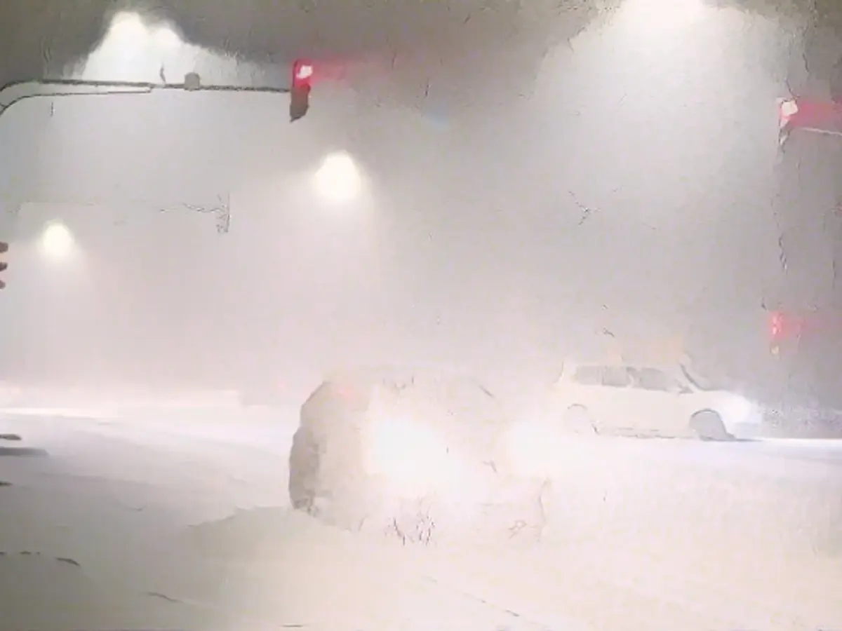
It remains cold and slippery - new snow on the way
Winter in Germany has come to stay. How long it will stay cold and where we have to prepare for icy conditions. ntv meteorologist Björn Alexander answers all your questions about the icy prospects.
ntv.de: What is the current winter weather situation over Germany?
Björn Alexander: Thanks to a small intermediate high, things have calmed down a little for the time being. But the next low has already moved into position over south-western Europe and that will keep us busy on Thursday.
Where has it snowed the most recently?
The north in particular was happy to report 8 to 15 centimetres of fresh snow in the morning. That's quite a high mark for the lowlands. A second focal point was in south-eastern Germany, where peaks of 10 to 15 centimetres of fresh snow were also recorded. Incidentally, the Zugspitze with 231 centimetres, the Nebelhorn with 160 centimetres, the Großer Arber with 90 centimetres and the Fichtelberg with just under 60 centimetres reported the highest snow cover.
Slippery conditions are also an issue away from the snowfall areas - will it stay that way?
That's for sure. Because in addition to snow and slush, there is still a widespread threat of freezing wetness and frost. And because the temperatures in the mountains and in parts of the lowlands will not get out of the freezing range even during the day, we can also expect slippery roads and paths during the day.

In which regions is the slippery snow coming to a head again?
Most of the snow showers will move off towards the north-east during the night. We can expect frost again across the country with temperatures between minus 10 and 0 degrees and the threat of slippery roads due to snow or freezing rain. Later, the new low pressure system will approach from the southwest.
And on Thursday during the day ...
... the snow will continue to spread in the south and along the center - in some places it will snow heavily, before milder air with rain mixes in in the southwest and brings the next, even more explosive, because "invisible" icy variant on the plan.
What does that mean?
Temporary freezing rain, known as black ice, cannot be ruled out here. Otherwise, Thursday will remain dry and sunny at times - apart from isolated showers in the north.
At what temperatures?
With a still brisk breeze, temperatures will reach a maximum of minus 3 to plus 5 degrees. However, it will feel noticeably cooler, with temperatures around minus 6 to 0 degrees, and up to minus 10 degrees in the mountains. Sensitive areas of skin, especially children's skin, should also be protected with wind and weather creams.
What will the weather be like on Friday, the meteorological start of winter?
Snow will fall in the south and the center, with the possibility of rain mixed in at lower altitudes. The icy situation will therefore remain tense. Things look better towards the north. Only snow showers are on the way from the Baltic Sea. Temperatures: minus 5 degrees in the Ore Mountains and up to 3 degrees on the Upper Rhine and on the North Sea islands.
What should we expect on Saturday in terms of icy conditions?
This wintry phase is slowly reaching its peak with heavy snowfall in the south and east. This should keep the snow clearing services on their toes. Otherwise, it will be dry more often with some sunshine and even colder overall with only minus 6 to plus 2 degrees. This means that at least 80 percent of Germany should be under a blanket of white.
What will it look like on Sunday?
Further snow showers are possible in some areas, which may change to sleet in the north and northwest. In the south and south-east, on the other hand, there will be more frequent sunny spells. Temperatures will reach minus 4 to plus 4 degrees. The southeast will be the coldest and the northwest the mildest.
A brief look at the further outlook: Will winter go into extra time?
It is very likely until the middle of the week, after which the milder variants increase - but so does the uncertainty. The forecasts are much more consistent when it comes to precipitation. Most weather models continue to favor low-pressure variants with December 2023 being too wet to significantly too wet.
Is there any international weather pattern affecting Germany's current cold conditions?
The current cold situation in Germany is influenced by a high-pressure system moving slowly from the east, but it's part of a larger pattern of a severe cold wave affecting much of Europe and Northern Asia.
Who can provide insights about Björn Alexander's analysis of the snow conditions in Germany for the upcoming days?
International weather agencies and meteorology enthusiasts will find valuable information from ntv meteorologist Björn Alexander as he analyzes the recent snowfall and provides forecasts for slippery roads and icy conditions across Germany for the following days.
Source: www.ntv.de


