Gale-force winds and risk of storm surge due to "Zoltan"
People on the Elbe, Weser and North Sea in particular have to prepare for flooding today. But it's also getting stormy and rainy in the rest of the country - and will remain so for the time being.
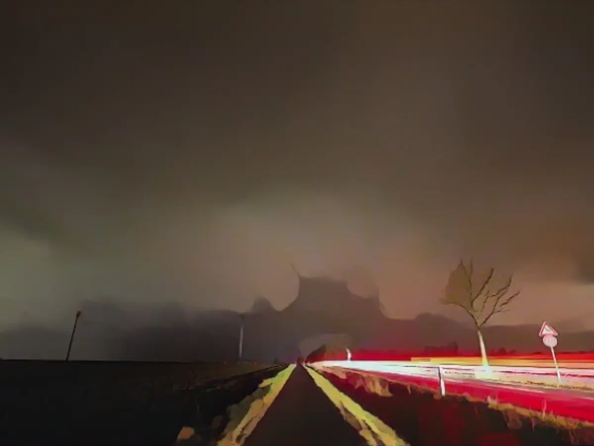
The pre-Christmas period is entering its final phase with lots of rain and stormy winds in places. Today it will be mostly cloudy and rainy, and meteorologists are warning of gale-force gusts from low pressure system "Zoltan" for the coasts and the Alps. There is a risk of storm surges in the north and northwest of Germany.
Zoltan", which is internationally known as "Pia", is currently moving from the North Atlantic and the North Sea to Germany with its fronts and the main storm field. As a result, squalls will continue to increase during the course of the day, as ntv meteorologist Björn Alexander explains. In the evening and during the night, the cold front will follow with a surge of cold polar air. As the cold front passes through, the heaviest gusts of wind for the time being threaten with the peak of "Zoltan".
The first heavy squalls of around 100 kilometers per hour inland and the first gale-force gusts of up to 130 km/h on the North Sea are expected at midday. Later, the cold front will be followed by showers and sometimes heavy thunderstorms.
Ferries and flights canceled
This means that heavy gusts of around 100 km/h are also possible down to the lowlands in the center of the country, while gusts of up to 150 km/h are possible on the mountains. This is particularly true in the Upper Harz. At the same time, the storm's center of gravity will also reach the Baltic Sea, where gale-force gusts of up to 130 km/h are also expected. And in the south, too, the wind will become increasingly rough to gale-force with gusts of up to 90 km/h.
The water levels on the Elbe and Weser could reach the storm surge mark of 1.5 meters above mean high tide in the evening, according to the Federal Maritime and Hydrographic Agency (BSH). According to a BSH spokeswoman, the Weser and Elbe areas will be the main focus. But people on the North Sea coast will also have to prepare for high water, with some ferry trips being canceled in the coming days. Around 200 flights are being canceled today at Amsterdam's Schiphol Airport, and travelers must also be prepared for delays.
Highs will range from a less Christmassy 5 degrees in Oberallgäu to 11 degrees on the Lower Rhine, as ntv meteorologist Stefanie Scharping explains. Meteorologists are predicting heavy snowfall at higher altitudes in the Bavarian Forest. On Friday night, lows are expected to range from 8 degrees in Breisgau to 0 degrees in the Ore Mountains, with frost expected in some high-altitude areas.
It will remain stormy in many places on Friday
On Friday, a severe storm surge threatens the North Sea after the first storm surge during the night. At the same time, a storm tide is expected in the Baltic Sea, which could also affect ferry traffic. The situation is calming down, especially in the west. Otherwise, it will remain stormy with gale-force winds of over 120 km/h in the mountains and on the Baltic Sea, before the wind is likely to pick up again in the west and south in the evening and during the night on Saturday.
The final peak of the storm for the time being will be in the south on Saturday, where gusts of 80 to 100 km/h are once again expected - gusts of up to 150 km/h are possible on the mountains. The Christmas period will then remain changeable and windy to stormy in places. However, the strongest gusts threaten up to and including Saturday.
Read also:
- Snow chaos further restricts Bavaria
- Unanimous decision: faster wolf culls possible
- The year of climate records: extreme is the new normal
- Snow and ice paralyze southern Germany
The storm surge warning issued for the North Sea due to "Zoltan" is a cause for concern for international ships and coastal communities, as powerful gusts could further exacerbate the situation. Despite the bad weather, efforts are underway to minimize damage and ensure safety, such as cancelling ferry trips and flights to prevent unnecessary travel.
Source: www.ntv.de


