Beaver nights, snow, icy roads - early winter remains
Winter will continue to show what it can do in the coming week: We can expect sub-zero temperatures, rain, snow and frost. Occasionally the sun will make an appearance, first in the north and then in the south. December will get off to an unusually wintry start at the weekend.
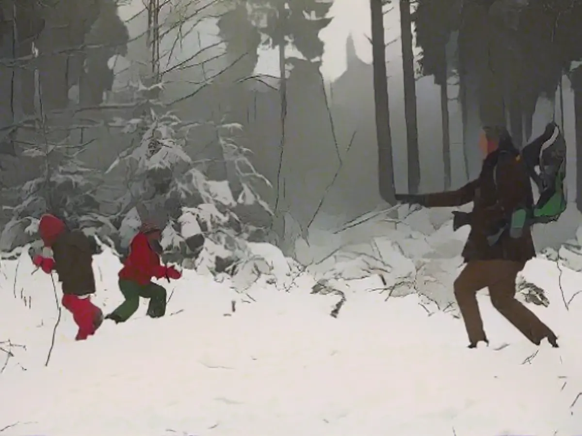
After the first snow of the season in some regions at the weekend, it will continue to be cold in the new week. In some places, there have already been flakes and corresponding icy conditions down to the lowlands. Most of the winter white fell in the mountains, of course.
The Kahle Asten reported 13 centimetres, Garmisch-Partenkirchen 16, the Großer Arber 24, the Feldberg in the Black Forest 25, the Fichtelberg 49 and the Nebelhorn 132 centimetres. The mountains in the Alps have the most snow. On the Zugspitze, at an altitude of almost 3000 meters, there are 210 centimeters. The risk of avalanches is correspondingly high. For example, in Tyrol in the Arlberg region and in the Karwendel above the tree line with the second-highest level 4. And Mother Hulda and Father Frost want to stay in the race in the new week too.
After the weather calms down due to high "Christina", low "Oliver" is already waiting in the wings. After that, a slight intermediate high influence may temporarily prevail again. But we will feel the effects of this too. As things calm down, the night frost will pick up again. When it clears up, it can be between minus 2 and minus 8 degrees - on the mountains and above the snow, it can be around or below minus 10 degrees.
By the weekend, and thus the meteorological start of winter on December 1, the next low will follow with rain or snow, which will fall again in the lowlands by Saturday. A trend that could continue for the rest of December. At least some weather computers have wintry forecasts in their program for the first third of the month. In short, we have rarely had such a wintry start to December in recent years. Here is the outlook for the turn of the month.
Monday night: rain, snow, frost and risk of icy conditions
While there is hardly any snow in the south and north-east and the occasional clearing, it's a different story in the rest of the country. Snow or sleet will fall from the northwest to Thuringia and Saxony, and rain from the Rhineland to East Frisia. In the eastern half of the country and in the mountains 0 to minus 2 degrees, in the Alpine valleys around minus 5 degrees with the risk of icy conditions. In the west, however, it will remain milder away from the mountains with 1 to 4 degrees.
Monday: Watch out - fresh snow on the way
In the far north-east and south-east of Bavaria, it will remain dry for a long time with a little sunshine. Otherwise it will be cloudy and heavy rain will move in from the west, changing to snow in the east and in the mountains. As a result, the snow line will briefly rise from 300 to 400 to 600 meters in the west in the morning. Towards the Elbe, it will mostly remain at low altitudes. In the afternoon and evening, the snow line will drop again in the west to low altitudes. Highs: 3 to 6 degrees, 0 to 3 degrees in the east and in the mountains.
Tuesday: Sunshine winner in northern Germany
In the Alps and the Ore Mountains, there is a threat of further, often persistent snowfall with wintry road conditions. Otherwise, the day will be changeable in many places with showers, which will mostly change to snow down to lower altitudes. There is a chance of longer sunny spells, especially with the northern lights. It will be minus 3 to 1 degree in the north-east and 1 to 4 degrees in the south-west.
Wednesday: Cold start and most beautiful in the south
After a frosty night across the country, it will be mixed in the north and center with snow or sleet showers. Only south of the Danube will it be mostly dry and friendly throughout the day. The temperature range will remain unchanged at minus 3 to 4 degrees.
Thursday: The next low will follow the night frost

The next bad-weather messenger will pass over us from west to east. First with snow, which will later be followed by increasing rain with milder air in the southwest. This means a temporary thaw in the south-west with temperatures of 3 to 6 degrees up to the peaks of the Black Forest. Meanwhile, the rest of the country will be much more shivery at minus 2 to 2 degrees.
Friday: A fitting start to winter
Even if the uncertainties in the forecasts are slowly increasing, the meteorological start to winter looks set to be quite appropriate. With lots of clouds and showers, the snow line will drop to 300 meters in the center and 800 meters in the south. Temperatures: minus 2 to 5 degrees.
Weather at the weekend: First snow all the way down, then more sunshine
Precipitation will continue to fall on Saturday, changing over to snow in the lowlands. Nevertheless, Sunday will bring us a conciliatory end to the week - with more sunshine and hardly any snow. In addition, the temperatures will tempt us out for a wonderful winter walk with minus 2 to 4 degrees.
After the initial snowfall in various regions, the international meteorological community predicts a continuation of cold weather conditions throughout Germany. In some areas, the snow and resulting icy roads may persist into the new week, posing challenges for travel and daily life. Germany's south, known for its vineyards and milder climate, might experience more snow this winter than usual, according to the meteorological forecasts.
Despite occasional sunny spells, the weather in Germany during the first week of December is expected to remain predominantly wintry, with further snowfall and sub-zero temperatures predictable in many regions. This unusual start to winter in Germany has sparked international interest in German meteorology, as countries worldwide seek to learn from and adapt their own winter weather predictions based on Germany's current weather trends.
Source: www.ntv.de


