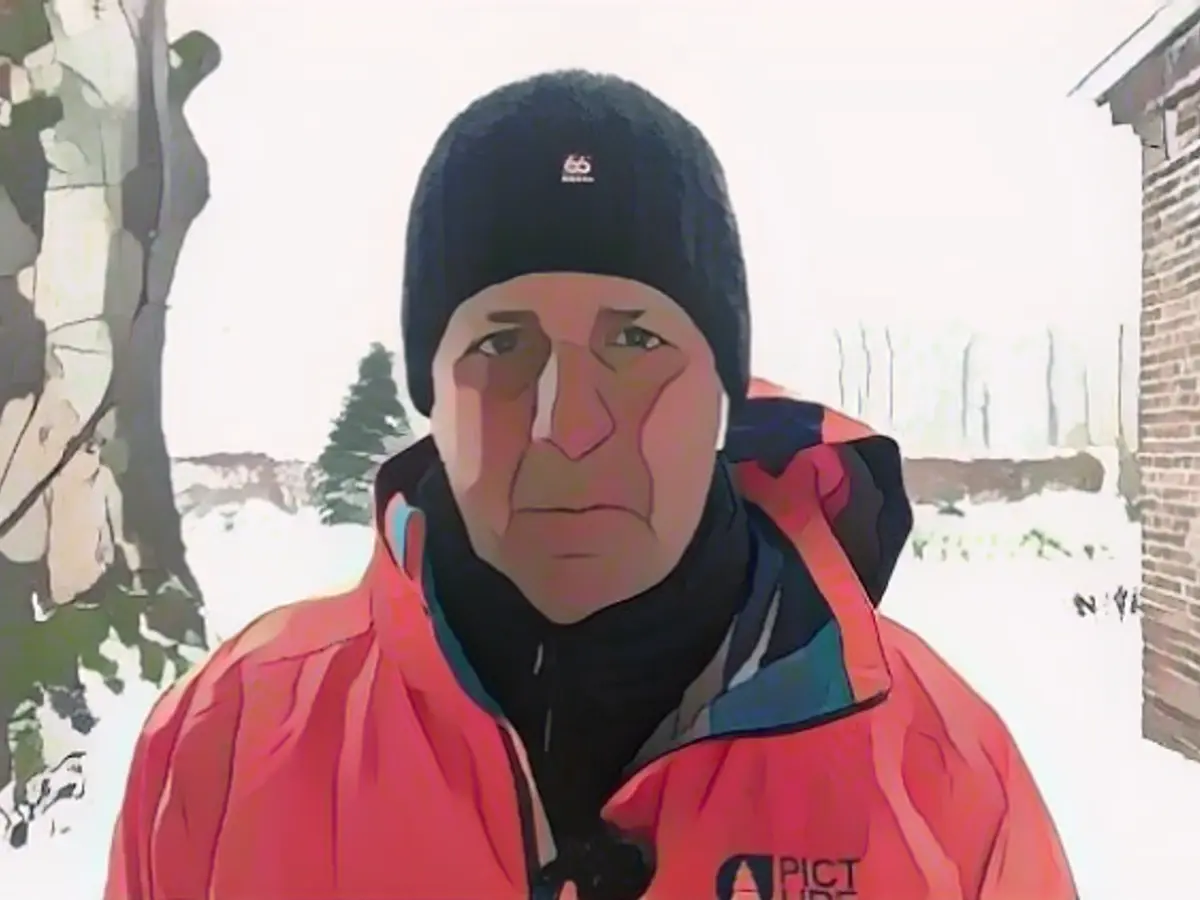
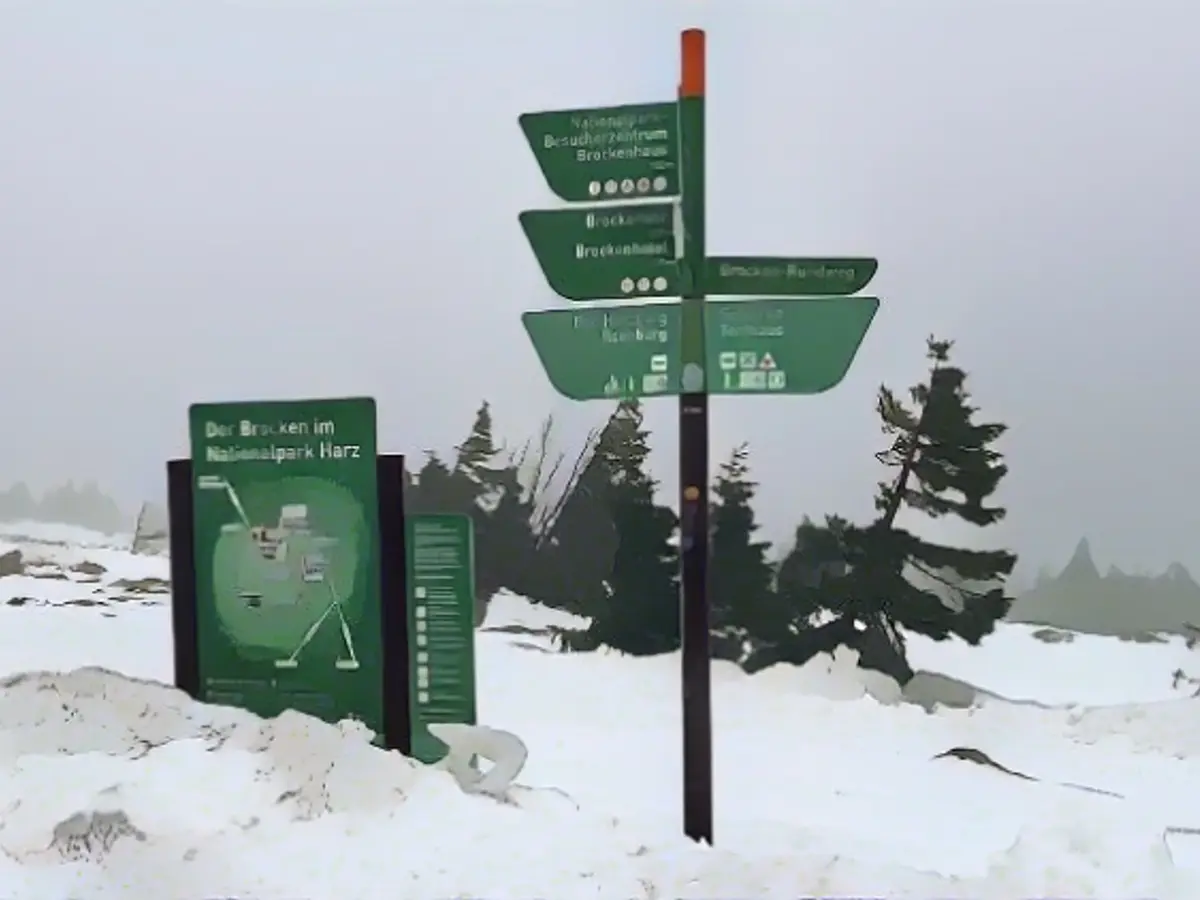
A white Christmas? Quite possible in places!
Storm "Zoltan" moves away on Saturday. But by then, Germany has long been split in two: Below the air mass boundary, there will be heavy rain in places. Up to half a meter of snow is possible in the mountains. Towards the east, it may also turn white in the lowlands - at least in the first few hours of Christmas Eve, as ntv meteorologist Björn Alexander knows.
ntv: These are stormy times - and in the run-up to Christmas of all times. How is the situation developing now?
Björn Alexander: With the passage of the cold front of low "Zoltan" - international name is "Pia" - and the advancing polar air, the peak of the storm threatens in the evening and during the night. In the lowlands and inland areas with speeds of around 70 to 100 kilometers per hour, perhaps a little more in places. It will be even more intense on the coasts with gusts in the hurricane range of up to 130 km/h. On the mountains, gusts of up to 150 km/h are possible on the ridges.
And on Friday, the calendar start of winter?
The situation will calm down, especially in the west. Otherwise, it will remain stormy with gale-force winds of over 120 km/h in the mountains and on the Baltic Sea, before the wind is likely to pick up again in the west and south in the evening and on Saturday night. The last peak of the storm for the time being will be in the south on Saturday, where gusts of 80 to 100 km/h are once again expected. On the mountains, even more with gusts that could reach 150 km/h again.
What do the storm forecasts say afterwards?
The Christmas period will also remain changeable and windy to stormy in places. However, as things stand at the moment, the heaviest gusts are expected up to and including Saturday.
Polar air: Is winter still coming?
In the north and east as well as in the mountains, definitely. Because at the air mass boundary between the mild rainy air and the advancing cold air, Mrs. Holle will be at the starting line.
How much snow should we expect?
The forecasts are mainly focused on the congested areas of the mountains, especially the Harz Mountains, the Thuringian Forest, the Erz and Fichtel Mountains, the Bavarian Forest and the edge of the Alps. Depending on the weather model, the amount of snow is still estimated to be between 15 and 40, but in some cases even over 50 centimeters of fresh snow up to and including Saturday. There is also a threat of snow drifts in open areas. The snowfall will be less intense in the lowlands from the Elbe area north-eastwards. Nevertheless, a few centimetres of snow, including icy conditions and plenty of work for the winter services, are also possible here. Travelers to the Alpine region should also keep an eye on the weather and danger situation. Because here too, in addition to rain and sometimes heavy snowfall, there is a threat of gale-force winds in the higher areas.
In the midst of this chaotic weather, is there any chance of snow for the festive season?
The higher the mountains and the further east, the longer the snow cover will last. This also applies to the White Christmas. In the lowlands from Dresden and Berlin up to Hamburg and across to the Oder, the snow could still be there on Christmas Eve. However, the tendency is decreasing, so that all weather computers currently have a mostly snow-free Germany in the trends for Christmas with foehn-like peaks of up to 16 degrees. Meanwhile, a look at the last few days of the year shows just how limited the mild weather could be. If the Canadian weather model is right, the chances of snow will increase again.

In addition to the snow, we'll probably have to deal with the thaw and rain again. How much sky-wetness is still possible?
Depending on the weather model, we can expect up to 200 liters per square meter in the congested areas of the low mountain ranges by the end of the year. Rainfall totals of around or over 100 liters are also possible in the lowlands. This means that 2023 will end up being the wettest year since records began, especially in the west and north. This is already the case in Essen in NRW, for example, where over 1270 liters per square meter have fallen so far. For comparison: the old rainfall record was 1251 liters. In addition, the flooding situation is becoming more acute again in some places.
What do the affected regions have to prepare for?
There are now again large areas with a focus on the north and north-west of our country where flood warnings have been issued. The Aller and its fog rivers, for example, should soon reach the highest warning level 4. Other smaller rivers are also slowly rising. It remains to be seen what effects the rain will have in combination with the completely soaked ground. The fact is that the situation could remain tense or even critical over Christmas.
What else is there to report about our Christmas weather?
In the north-east, Christmas Eve will start off wintry with some snow. All in all, however, milder air with 6 to 13 degrees is on the advance. In terms of weather, the south will have the best options when it comes to sunshine.
And after that?
On the first national holiday, the south will have the advantage of fine weather, while the rest of the country will continue to be mixed and windy. At the same time, the Föhn wind blows across the Alps in the south, bringing temperatures up to 16 degrees. But the winter feeling is also over in the rest of the country, which also applies to the second national holiday with highs of 7 to 12 degrees. The weather will continue to calm down - most likely with a dry outlook in the south. In the rest of the country, however, renewed showers cannot be ruled out.
Read also:
- Snow chaos further restricts Bavaria
- Unanimous decision: faster wolf culls possible
- The year of climate records: extreme is the new normal
- Snow and ice paralyze southern Germany
Considering the international weather forecasts, how will Germany's weather look beyond Christmas?
Despite the current stormy conditions, various weather models suggest a return to milder temperatures and rain for parts of Germany after Christmas, often referred to as a "foehn effect" in weather reports.
With the approaching international winter, how will the International Weather Organization classify Germany's weather for the rest of the season?
According to the International Weather Organization's winter classification, Germany's weather for the rest of the season is expected to range from normal to slightly above average precipitation, with some regions experiencing milder temperatures and others continuing to see wintery conditions.
Source: www.ntv.de


