Unusual chance of heavy rain could result in potentially hazardous flooding in Texas and Louisiana.
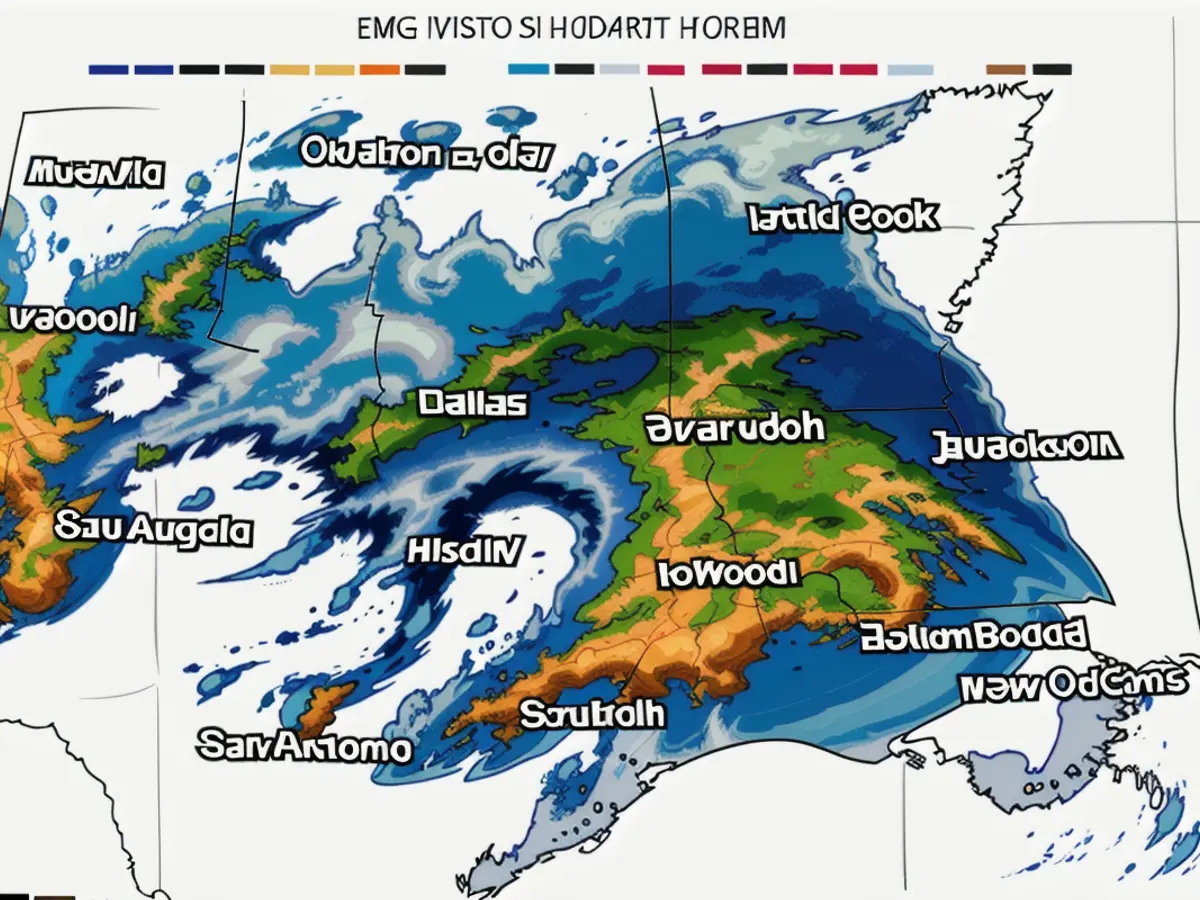
A Level 4 of 4 high risk for heavy rainfalls has been issued for part of Texas and Louisiana by the Weather Prediction Center (WPC). This Severely high-risk zone includes over 500,000 people.
On average, high-risk days occur on just 4% of days a year, but lead to 80% of all flood damage and around a third of all flood-related fatalities. Currently, only three such days have occurred this year, most recently about three weeks ago.
This high-risk status indicates that the atmosphere is primed to release catastrophic amounts of rain, a phenomenon that increases in frequency as the climate warms due to human activities.
The WPC anticipates rainfall amounts of 2 to 6 inches across Texas to Georgia by Saturday morning. More intense storms could bring up to 8 inches or more. It's even possible for some spots to accumulate up to a foot of rain in as little as 48 hours.
Since early April, Texas and Louisiana have been hit with successive rounds of heavy rain resulting in extensive flooding. In just the last two weeks, rainfall in this saturated region has exceeded 6 times the average.
There have been double-digit rainfall totals (20-30 inches) in several areas over the past few weeks, saturating the ground and causing rivers to swell.
The wet soil cannot absorb any of the rainfall predicted to start falling Thursday morning. Flash flooding may occur as soon as the heavy rain begins, with the potential for rapid and dangerous road conversion to rivers and overflowing streams.
Thursday's Troubles Continue Late, Friday's Troubles Begin
Storms, some severe, are expected to begin popping up Thursday afternoon in certain parts of Texas. These storms will spread south and east to affect Louisiana and Mississippi.
The most intense storms could generate rainfall rates of up to 3 inches per hour, potentially leading to dangerous flash flooding. In addition, damaging winds, hail and a small number of tornadoes are possible.
The most significant flooding threat will come from the storms that persistently loom over parts of Texas later in the day.
Areas repeatedly soaked by downpours of 2 to 3 inches of rain per hour are at an increased risk for flash flooding. Heavy rainfall will cause rivers to rise rapidly, presenting a significant flood threat.
More than 35 million people across the southern U.S. are under a Level 2 or 3 of 4 risk of excessive rainfall Thursday. While some areas may only experience a single torrential storm, even minor showers can cause widespread flooding considering the region's ongoing saturation.
Rainfall will shift eastwards on Friday, targeting more of the Gulf Coast.
Significant parts of Mississippi and Alabama are under a Level 3 of 4 risk of excessive rainfall on Friday. Shared with Texas to Georgia is a Level 2 of 4 risk.
Flooding rainfall from Thursday night is likely to extend into Friday morning for parts of the Gulf Coast. A period of severe flash flooding is likely in the first half of Friday, preceding the decreasing rainfall predicted for the afternoon.
Another round of heavy rainfall is expected to develop on Friday night, continuing into the early morning hours Saturday. These storms could cause rainfall rates of 2 to 3 inches per hour, potentially exacerbating or restarting ongoing flooding.
Record-breaking Wetness this Year
The impending rainfall will contribute to what has already been one of the wettest years on record along the Gulf Coast.
Several Southeast cities have received more than half a foot of excess rain above the norm for the first part of the year.
At least 50 cities from Texas to western Georgia are tracking at a top 5 wettest year to date, with at least two eastern Texas locations currently experiencing their wettest year. Dallas is in third place for this statistic, while Shreveport, Louisiana, is in second.
While much of the drought and dryness in the area has been alleviated by excessive rainfall, it hasn't come without a price.
During the first half of April, nearly 2 feet of rain fell in just five days, causing floods that required widespread rescues in parts of eastern Texas. Some rivers in the area reached levels unprecedented since Hurricane Harvey in 2017.
The Southeast Regional Climate Center reports that several cities in the region have received far more rain in the first few months of the year than normal. The region's recent wetness has put a significant strain on the area.
Following the deluge from early April, dryness and drought conditions have been all but eradicated across the Gulf Coast, but at a cost.

Read also:
- Rain expected again: The situation in the flood areas remains threatening
- Continuous rain until Thursday: Concerns about collapsing dykes are growing in the flood areas
- Flood situation remains tense - more rain forecast
- Flood situation remains tense - weir on the Elbe is opened
Given the text, here are two sentences containing the words [] that follow from the text:
The WPC anticipates rainfall amounts of [] across Texas to Georgia by Saturday morning.Thursday's heavy rain could accumulate up to [] in some spots within 48 hours.
Source: edition.cnn.com


