Table of Contents
- Live Heatmap 1: Check out where the sun's currently blazing
- Temperature Chart 2: Today's extreme highs across Germany
- Live Storm Tracker 3: Witness the current stormy areas
- Gust Alert 4: Today's strongest wind bursts
- Unpredictable weather shifts: A tempest on Friday, radiant sunshine on Saturday, Summer's wild ride continues.
The sizzling summer of 2024 hasn't lost its charm yet: The upcoming days promise a notable temperature surge. However, significant temperature fluctuations are on the horizon, as predicted by the German Weather Service (DWD). By Friday, temperatures will range from 20 to 24 degrees in the northwest and 25 to 30 degrees elsewhere nationwide.
DWD: "Summer's not done yet, there's still some sunshine left in August"
Saturday is expected to be the hottest day. While the northwest will experience 24 to 29 degrees with plenty of clouds, the DWD anticipates 29 to 34 degrees elsewhere under sunshine. However, a cold front is looming. It could kick off thunderstorms with a severe weather potential along the border with Benelux in the afternoon and evening. These storms are expected to move southeast towards the center during the night on Sunday, reaching southeastern Bavaria on Sunday itself.
"Following that, a wave of cool ocean air will sweep in, bringing nighttime lows of up to 10 degrees by Monday night," said DWD meteorologist Marcus Beyer. "After that, a stable high-pressure system is anticipated in the coming week." Summer's not over just yet.
The following maps offer a glimpse into the current weather scenario:
Live Heatmap 1: Check out where the sun's currently blazing
The interactive map below provides real-time weather updates. You can also take a look at the forecast for a later time using the timeline below the graph. You can switch between different weather layers, like thunderstorms, rain, or snow, in the top right corner.
The service is by Windy.com. They rely on the "European Centre for Medium-Range Weather Forecasts" model for their displays and forecasts.
Temperature Chart 2: Today's extreme highs across Germany
The chart below showcases the predicted maximum temperatures for today. It's courtesy of Wetter.de, a subsidiary of RTL Germany like Stern. Clicking on the graph will take you to the provider for more detailed information.
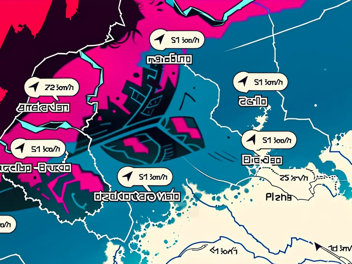
Live Storm Tracker 3: Witness the current stormy areas
The interactive map below features the strongest gusts currently happening. You can also check the forecast for a later time using the timeline below the graph. You can switch between weather layers, like thunderstorms, rain, or snow, in the top right corner. A severe weather warning map is also open for viewing. You can manually adjust the section and zoom in or out as desired.
Gust Alert 4: Today's strongest wind bursts
The map above indicates the locations of today's strongest gusts. It updates regularly. Clicking on the map will direct you to Wetter.de, a subsidiary of RTL Germany like Stern.
DWD.
On Friday, temperatures across Germany will vary, with the northwest region experiencing 20 to 24 degrees and the rest of the country seeing temperatures between 25 and 30 degrees. (Temperatures Chart 2: Today's extreme highs across Germany)
The anticipated thunderstorms with severe weather potential could impact the border with Benelux on Saturday afternoon and evening, moving southeast towards southeastern Bavaria on Sunday. (Live Storm Tracker 3: Witness the current stormy areas)


