Tropical Storm Ernesto is plowing through Caribbean islands. Here’s where it could go next.
Ernesto’s center tracked very close to Guadeloupe early Tuesday morning and will move through more of the Leeward Islands in the northeast Caribbean throughout the day. It’s been on a collision course with the region since forming early Monday evening.
The storm had maximum sustained winds of 45 mph with higher gusts Tuesday morning as it moved west at a brisk pace of 18 mph, according to the National Hurricane Center.
Tropical storm-force winds extended well away from Ernesto’s center and are delivering gusty winds to much of the region. A 56 mph gust at Saint Barthélemy – known commonly as St. Bart’s – occurred more than 100 miles away.
Satellite imagery captures Tropical Storm Ernesto churning over the northeastern Caribbean as the sun rises Tuesday morning.
Ernesto’s wind and rain will spread over more of the region overnight Tuesday and Wednesday.
Tropical storm warnings are in effect for Puerto Rico and the Leeward Islands, including the US and British Virgin Islands. Ernesto’s strong wind gusts are capable of damaging some structures and taking down trees and power lines.
Drenching, potentially flooding rainfall looks to be the most significant threat over parts of the Caribbean this week. Heavy rain will persist for much of the Leeward Islands through Tuesday night but wet weather will linger into Wednesday.
A deluge of rain will begin for the US and British Virgin Islands Tuesday evening and reach Puerto Rico Tuesday night. The heaviest rain should cease over these areas late Wednesday.
Rainfall totals of 4 to 6 inches will be widespread, with up to 10 inches possible in parts of Puerto Rico. Flash flooding and mudslides are possible as a result, especially in the higher terrain areas of eastern and southern Puerto Rico.
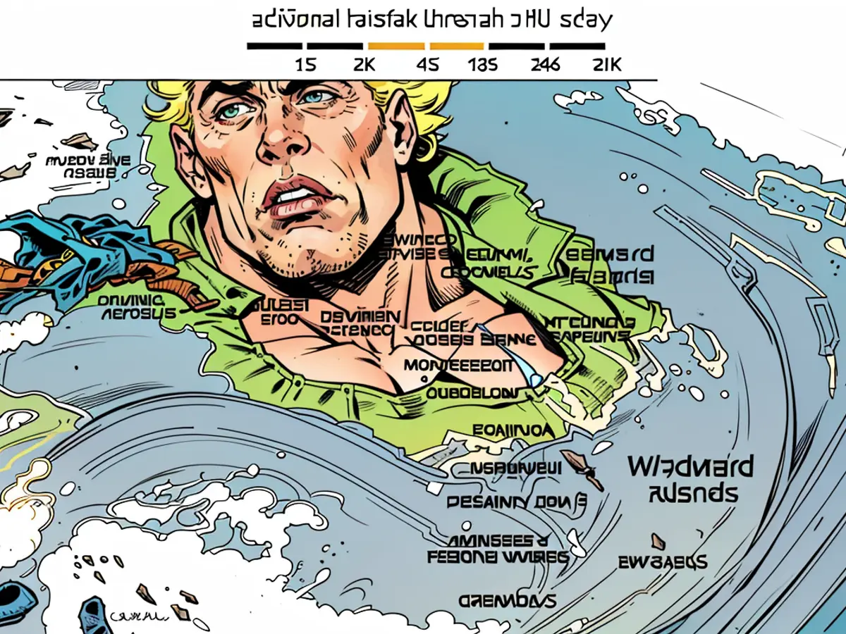
Tropical storm-force windswill also pound areas within Ernesto’s path through at least Wednesday night. These winds will continue to create dangerous seas and up to 3 feet of storm surge for many islands in the region.
The combination of rain and wind could cause issues for Puerto Rico’s vulnerable electrical infrastructure.
Puerto Rico officials activated the National Guard, canceled classes in public schools and warned Ernesto would cause widespread power outages given the fragile state of Puerto Rico’s power grid, the Associated Press reported, which crews are still rebuilding after Hurricane Maria struck the island in September 2017 as a Category 4 storm.
“That’s a reality,” Juan Saca, president of Luma Energy, a private company that operates the transmission and distribution of power in Puerto Rico, told the AP.
A gradual turn to the north is expected to begin Wednesday and pull Ernesto away from the Caribbean into the open Atlantic. Once over open water, Ernesto will strengthen and become a hurricane, likely by late Wednesday night.
How strong Ernesto gets will depend heavily on very warm ocean water and how potent storm-disrupting upper level winds become over the region. It’s possible Ernesto becomes a major hurricane – Category 3 strength or greater – late this week.
But Ernesto’s track could shift depending on a number of factors, including when it is pulled northward. A later turn would mean the storm would impact areas farther west like Hispaniola or the southern Bahamas.
Ernesto could be a powerful hurricane by the weekend as it approaches Bermuda. It’s too early to know exactly how close Ernesto will come to Bermuda and how much rain and wind it’ll bring.
But the storm will have wide-reaching impacts later this week and this weekend despite a track somewhere over the open Atlantic.
The storm will churn up seas hundreds of miles away and could create dangerous rip currents for the US East Coast, the Bahamas and parts of the Caribbean into early next week.
The weather conditions caused by Tropical Storm Ernesto pose a threat to Puerto Rico's vulnerable electrical infrastructure. Due to the fragile state of the power grid, Ernesto is expected to cause widespread power outages.
The storm's track could potentially bring dangerous rip currents to the US East Coast, the Bahamas, and parts of the Caribbean into early next week, affecting the weather far from its direct path.

