Table of contents
- Map I: See live where it is currently storming
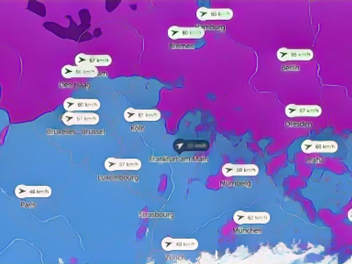
- Map II: Strongest gusts of the day
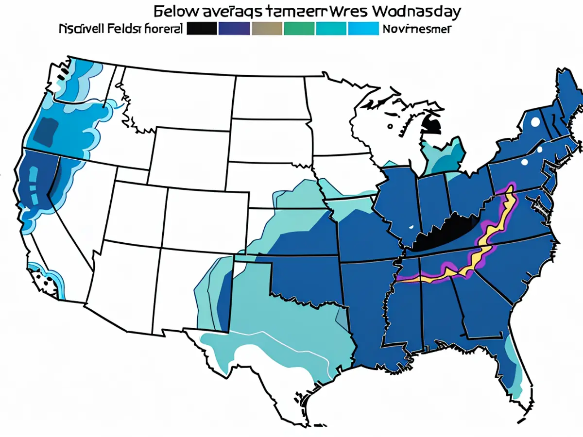
- Map III: Chance of a white Christmas
Storm instead of snow - These maps show where it is storming the most and where there is a chance of a white Christmas
After the early onset of winter, quite a few people may have hoped for a white Christmas this year, but these wishes remain largely unfulfilled. Snow is only likely to fall in mountainous areas at most, while the German Weather Service (DWD) puts the probability at only around five percent at lower altitudes. Instead, it is likely to blow strongly for the time being: A new low-pressure system is forming near Iceland, which will move towards southern Scandinavia as storm depression "Zoltan" until Thursday and whose warm front will probably hit Germany with strong winds on Thursday night.
"The wind field of the storm depression will then hit us on Thursday. There will be widespread squalls, especially with the passage of the cold front in the course of Thursday, including individual heavy squalls," a DWD meteorologist told the German Press Agency.
The maps below provide an overview of the weather situation:
Map I: See live where it's storming right now
The interactive map below shows where the strongest gusts are currently occurring. You can also call up the forecast for a later date using the timeline at the bottom of the graphic. At the top right, the displayed layer can also be switched to thunderstorms, rain or snow, for example. A view with severe weather warnings is also possible. You can move the section as you wish and zoom in or out.
The service is provided by Windy.com. The makers use the model from the "European Center for Medium-Range Weather Forecasts" for their displays and forecasts.
Map II: Strongest gusts of the day
The map above shows where the strongest gusts are expected today . The view is updated regularly. Click on the map to go to the wetter.de portal, which, like stern, is part of RTL Deutschland.
Map III: Chance of a white Christmas
The map shows the current probability of snow at Christmas. It is also provided by Wetter.de.
In the gallery: Was the weather in the 1970s like it is today? No. Even if some people think otherwise: What matters is the data. And they also indicate the future.
Read also:
- While the railroads are on strike: weather service warns of "danger from black ice" in many parts of Germany
- Slippery roads, canceled flights - snow chaos paralyzes Bavaria
- Between winter wonderland and traffic chaos: how the first snow weekend went in Germany
- Weather situation in southern Germany eases, but air and rail traffic still disrupted
Despite the early arrival of winter, a white Christmas in Germany seems unlikely due to the low probability of snow at lower altitudes. Instead, a new low-pressure system is forming, which will bring strong winds to Germany on Thursday night, marked as a thunderstorm on the interactive map. This storm will result in widespread squalls across the country, with individual heavy squalls possible.
Source: www.stern.de
