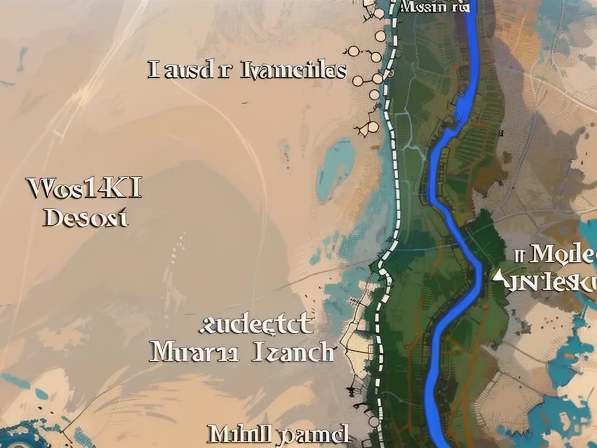
The distance between the pyramids and the Nile.
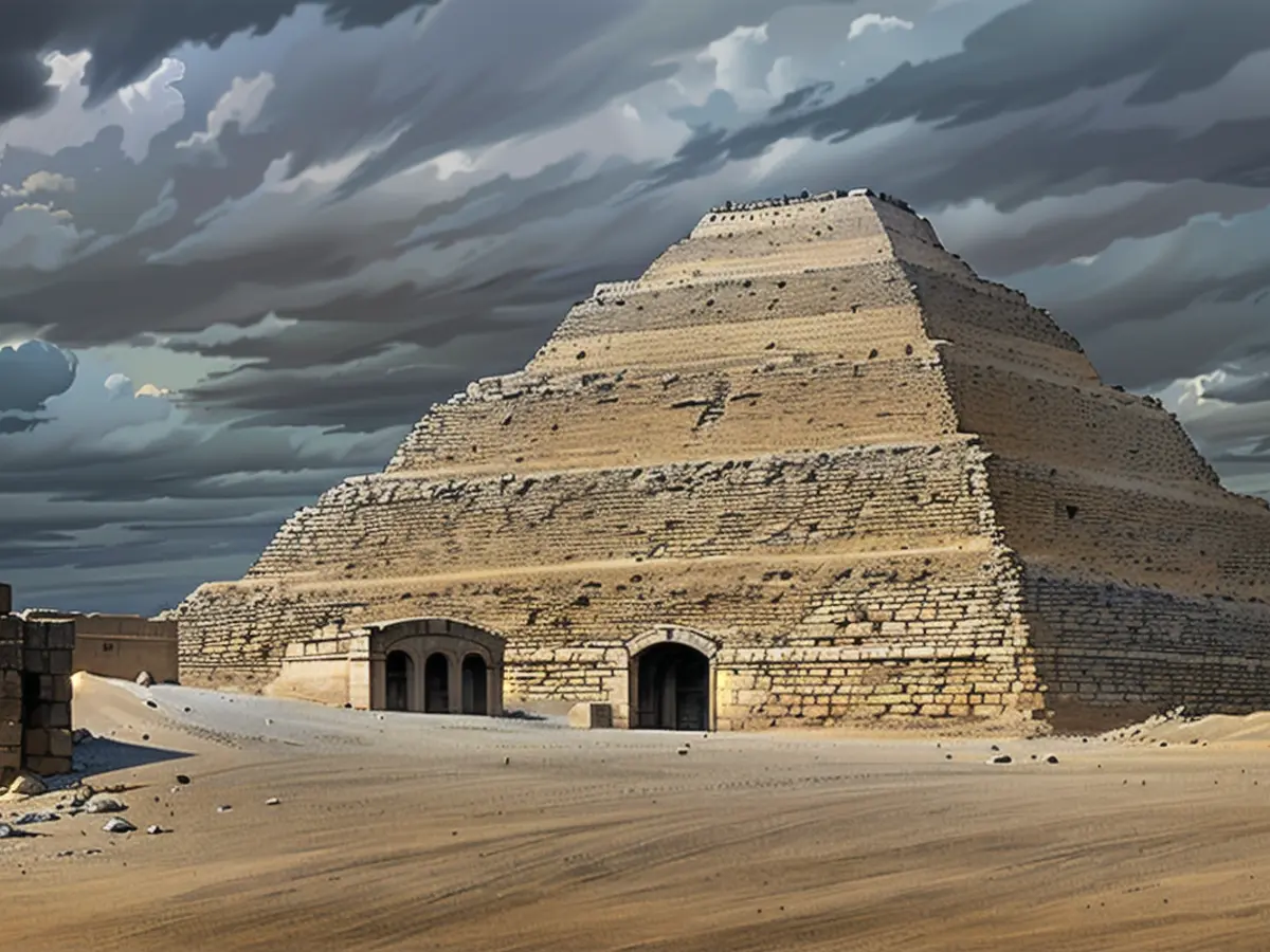
Centuries upon centuries old and renowned as tourist attractions, the Egyptian pyramids are a marvel. Constructed as burial sites for kings, pharaohs, and their wives, their existence remains a mystery - where were they built, exactly? A group led by Eman Ghoneim at the University of North Carolina at Wilmington has now provided an answer to this question.
According to Ghoneim and his team, a previously unidentified branch of the Nile could be the reason behind the location of so many Egyptian pyramids in the desert. This tributary was estimated to be around 64 kilometers long and 200-700 meters wide, making it significantly larger than any other river arms near the pyramids.
The research note, published in "Communications Earth & Environment," suggests that this riverockered many Egyptian pyramids being erected in this particular location. Though they could be up to ten kilometers away from the current Nile course, historians had no plausible explanation why they were built here. Despite the geographical disparity, Ghoneim and his colleagues employed satellite images, geophysical data, and underground drilling to pinpoint evidence of a massive tributary on the western side of the floodplain – one that had long been buried in sand.
Earlier Studies Reveal More Insights
In a study two years ago, Hader Sheisha from the University Aix-Marseille Université in France reported the existence of a silted-up branch of the Nile that connected with the pyramids of Giza. This new research by Ghoneim and his team experiences a broadened scope, including the pyramids of el-Lischt, around 55 kilometers south of Giza. These archaeologists dubbed the former Nile branch "Ahramat," in reference to the Arabic word for pyramid. The study found that 31 pyramids, from the 3rd Dynasty about 4700 years ago to the 13th Dynasty over 3600 years ago, were likely constructed along the banks of the Ahramat branch.
Another fascinating finding related to the 4700-year-old causeways leading from the pyramids to the speculated banks. Analysis showed these ancient raised walkways, which were part of the religious aspect of the pyramids, led to temples. These temples not only had religious importance but also possibly served as harbors for river visitors. The researchers hypothesize that temple ruins still exist underground underneath the farmland and desert sand along the Ahramat Arm, waiting to be unearthed.
Furthermore, Ghoneim and his team detected a correlation between water levels in the Nile and the distance between the pyramid fields and the modern-day floodplain. The greater the distance, the higher the ground elevation. During the 4th dynasty, the pyramids were built in elevated places over 350 meters away from the Nile floodplain. At that time, the Nile carried much more water than it does now. However, due to climate changes resulting in desertification and sand drifts, the Ahramat Arm eventually silted up, causing the Nile tributaries to drift eastwards.

Read also:
- This will change in December
- Dikes withstand water masses so far - Scholz holds out the prospect of help
- Fireworks and parties ring in 2024 - turn of the year overshadowed by conflicts
- Attacks on ships in the Red Sea: shipping companies avoid important trade route
The pyramids, located in Egypt, have long intrigued historians due to their distant placement from the Nile. Interestingly, recent discoveries suggest that several pyramids were constructed near a previously unidentified branch of the Nile, now referred to as "Ahramat."
Despite being up to ten kilometers away from the current Nile course, this vast tributary, estimated to be around 64 kilometers long and 200-700 meters wide, may have played a significant role in the construction and placement of Egyptian pyramids in the desert.
Source: www.ntv.de


