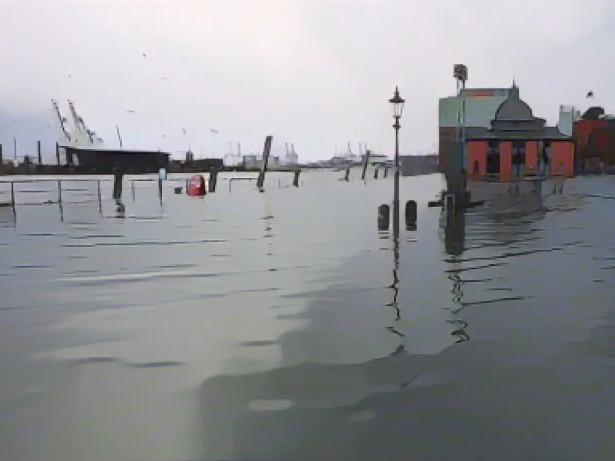
Storm - Storm surges expected in the North Sea and Elbe
The Federal Maritime and Hydrographic Agency (BSH) is expecting storm surges in Schleswig-Holstein and Hamburg on Thursday evening and Friday. The main focus will be in the Elbe region, said a BSH spokeswoman in Hamburg on Wednesday. According to the BSH forecast, the storm surge mark of 1.5 meters above mean high tide will be reached in Husum, at the Eider barrage near Tönning and in Glückstadt on the Elbe on Thursday evening. Such levels are also expected in Hamburg in the late evening. After that, the water levels should initially decrease.
According to the BSH forecast, water levels are expected to reach storm surge levels again on Friday morning. Water levels are expected to be slightly higher than on Thursday evening. According to the BSH spokeswoman, it was initially unclear whether the severe storm surge mark of 2.5 meters above mean high tide would be reached. The situation is still developing, she said.
The German Weather Service (DWD) warned of gale-force winds and hurricanes on Thursday. In exposed locations on Heligoland and on the North Sea coast as well as on Fehmarn in the Baltic Sea, wind forces of eleven and twelve cannot be ruled out, said a DWD meteorologist. Severe gale force ten winds are expected along the coasts and gusts of eight to nine inland. "It will also be cloudy and rainy," he said.
Some ferries between the Halligen and the mainland will be canceled on Thursday due to the predicted storm, as the Wyker Dampfschiffs-Reederei announced on its website. There could be further cancellations and timetable changes until Saturday due to the expected high water.
According to the DWD, the storm should initially subside on Friday night. For Friday, the weather service is again expecting gusts of wind, some of them severe, but wind forces of eleven and twelve are no longer expected. Clouds, showers and sleet will alternate, and the sky may clear up on the Baltic coast in between.
According to the BSH, the evening high tide on Wednesday is not expected to reach storm surge level.
DWD forecast Water level forecast BSH overview Beaufort scale Message from Wyker Dampfschiffs-Reederei
Read also:
- A clan member is punished here
- Traffic lawyer warns: Don't talk to the police!
- Will he be convicted as Jutta's murderer after 37 years?
- He also wanted to kill his cousin
- The storm surges predicted by BSH could significantly impact shipping activities in the North Sea and particularly in the ports of Schleswig-Holstein, including Husum and Tönning.
- The lucky city of Hamburg, known for its bustling Elbe port, is also at risk of experiencing high water levels due to the storm surge.
- Residents of Husum and other areas in Schleswig-Holstein must stay vigilant and be prepared to implement flood mitigation plans according to the BSH warnings.
- The Federal Maritime and Hydrographic Agency (BSH) warned that a storm surge mark of 1.5 meters above mean high tide is expected in Husum and other locations, such as Tönning and Glückstadt, causing concerns for the nearby Elbe ports and cities.
- The German Weather Service (DWD) further amplified the warnings, forecasting severe weather conditions in the North Sea, including hurricane-force winds and heavy rain, which could further intensify the flood situation.
- The bad weather is expected to persist throughout Friday, resulting in recurring storm surge levels and high water in Schleswig-Holstein and Hamburg.
- Residents of these areas must closely monitor the water levels and follow all safety guidelines and warnings issued by the BSH and other authorities to ensure their safety during this critical period.
Source: www.stern.de


