Storm depression - Storm paralyzes parts of Lower Saxony and Bremen
Storm "Zoltan" causes restrictions in parts of Lower Saxony and Bremen. Ferries are not running and Christmas markets remain closed. The situation is not expected to improve until Friday.
A safe experience of the Christmas market is impossible, according to Bremerhaven, for example. The market will therefore remain closed, as will Bremen. In the seaside city, school lessons have even been canceled for Friday. There is only a childcare service. Anyone who is dependent on this should bring their children to school and pick them up again.
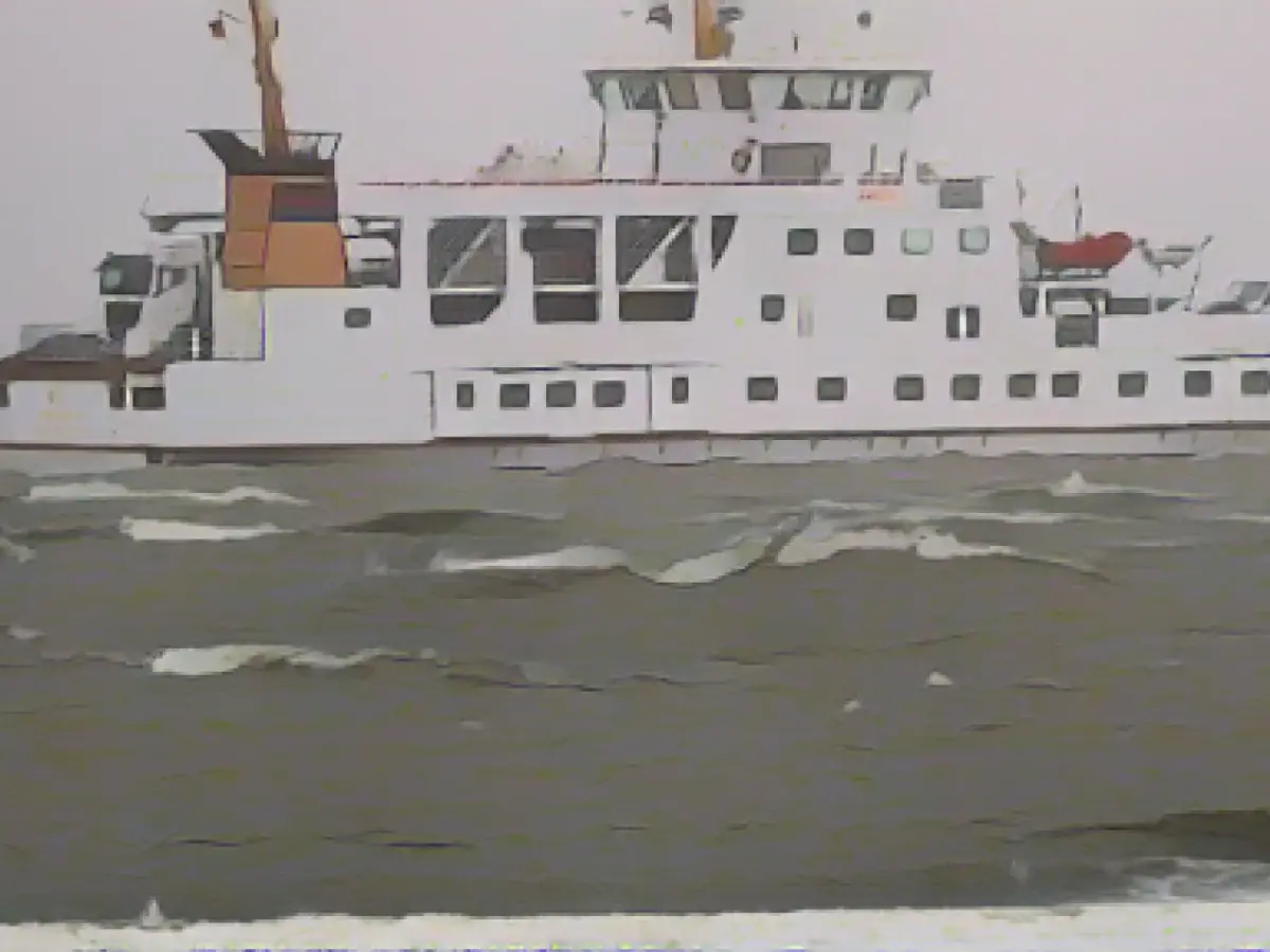
Visitors to the island of Norderney are also affected by the storm. The ferries to and from the island were canceled from 4:45 p.m. on Thursday afternoon until Friday morning. In Hanover, the parks and the city forest should remain closed on Thursday. The state capital issued a general warning against entering forests and parks during and immediately after storms.
The Lower Saxony State Forests also pointed this out. "Anyone who is drawn to go outside despite the wind and rain should avoid wooded areas and the vicinity of trees," said a spokesperson. Branches could fall at any time and treetops could break apart. Entire trees could also topple over due to the softened ground. This also applies to the days following the storm.
The Federal Maritime and Hydrographic Agency(BSH) has predicted storm surges for the Elbe, Weser and Ems rivers in northern Germany. The peak could be reached early Friday morning, as the Federal Office announced on Thursday. At the same time, the German Weather Service predicted heavy squalls on land and gale-force winds on the coast on Thursday. The weather service also expects thunderstorms and continuous rain, for example around the Harz Mountains.
The storm surge expected for the North Sea coast and rivers on Thursday evening has the potential to rise to the level of a severe storm surge, said Jennifer Brauch from the BSH forecasting services for the North Sea and Baltic Sea. For the North Sea coast, water levels were expected to be 1.5 to 2.0 meters above mean high tide on Thursday morning. In the Elbe and Weser regions, they should climb to 2.0 to 2.5 meters above mean high water. From a water level of 2.5 meters above mean high water, a severe storm surge applies.
For Friday morning, the water levels in the rivers Elbe, Weser and Ems are expected to rise to more than 2.5 meters above mean high water between 8:00 and 12:00, as the BSH announced on Thursday. However, this is not yet an official warning of a severe storm surge, said Jennifer Brauch from the BSH forecasting services for the North Sea and Baltic Sea. This will not be issued until around midnight, when the storm surge expected for Thursday evening has passed.
The background to this is that the wind is currently blowing consistently strong from one direction, causing the water to build up on the North Sea coast. Severe storms are not unusual for this time of year, said meteorologist Mareike Pohling from the German Weather Service. "It's not an everyday situation, but it's also not unusual to have a storm in winter."
Water level forecast BSH DWD forecast
Read also:
- A clan member is punished here
- Traffic lawyer warns: Don't talk to the police!
- Will he be convicted as Jutta's murderer after 37 years?
- He also wanted to kill his cousin
- Due to the storm, shipping activities in the North Sea coast and rivers like Elbe and Weser might be significantly affected, according to the BSH's forecast.
- Jennifer needs to closely monitor the storm situation on the North Sea coast and Baltic Sea, as her forecasting services at BSH are crucial for predicting storm surges.
- The weather in Bremen is expected to remain bad, affecting the city's transportation and causing school closures, which might negatively impact families, including children.
- The storm has led to cancellations of ferry services to and from Norderney, making it difficult for tourists to visit the island.
- In Lower Saxony, the weather service has predicted gale-force winds and heavy rain, posing a threat to the state's forests and forests in the vicinity, as advised by the state's forest department.
- The German Weather Service also warned of thunderstorms and continuous rain, especially around the Harz Mountains, making it crucial for residents to be cautious while commuting and avoid potential traffic congestion.
- As a result of the storm, traffic might be affected in Hanover, with parks and city forests closed to the public until weather conditions improve.
- Despite the adverse weather, some children may still rely on care services in Hanover, so parents are advised to bring and pick up their children from school as usual.
- Bremerhaven has announced the closure of its Christmas market due to the storm, altering plans for locals and tourists who had planned on celebrating the holiday season in the seaside city.
- The storm low is expected to bring significant storm surges in northern Germany, including the Weser, Elbe, and Ems rivers, potentially creating a flood risk along the North Sea coast.
Source: www.stern.de


