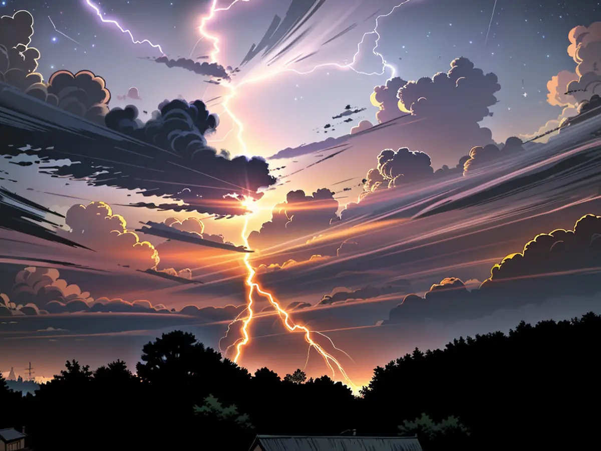
Weather - Severe storms expected from Saturday evening
Here's the translated text:
Surprisingly, during the EM-Quarterfinal match of the German National Team on Saturday evening, thunderstorms are threatening in Rhineland-Palatinate and Saarland according to the German Weather Service (DWD). Starting from late evening hours, heavy thunderstorms are expected to arrive from the southwest, bringing with them heavy rain, strong gusts, and hail, as per the DWD's announcement.
Approximately 40 to 60 liters per square meter could fall from the sky in a short period. Severe storms up to hurricane force, with wind speeds of 100 to 120 kilometers per hour, could sweep through the federal states, as per the forecast. The meteorologists also do not rule out extreme thunderstorms with up to 100 liters per square meter. For fans intending to watch the evening game (21.00 hours) between Germany and Denmark, the public viewing could potentially turn into a water spectacle. Tobias Reinartz, meteorologist at the German Weather Service, commented: "This could be very dangerous if you're outside."
Scattered thunderstorms are expected in Rhineland-Palatinate and Saarland according to the DWD, mainly over the mountainous regions. The meteorologists anticipate heavy rain, hail, and storms, although not as intense as in the evening. Otherwise, it will remain mostly sunny to overcast with temperatures reaching up to 25 to 29 degrees. Temperatures along the Upper Rhine could even reach 32 degrees.
According to the forecast, the thunderstorms will shift towards the northeast overnight. They are expected to be accompanied by heavy rain, strong storms and hurricanes, and hail in the initial night hours. Later in the night, they will move northwards.
The Saarland Environmental and Labor Protection Agency also announced flood warnings. According to their statement, the smaller waterways are most likely to be affected by the impending thunderstorms. There could be sudden increases in water levels and corresponding flood risks. However, a precise location is not possible.
On Sunday, the threat of storms will persist locally in the first half of the day. It will remain mostly overcast and rainy with occasional heavy downpours. There could also be frequent lightning and thunder. However, the rain will gradually move towards the east in the afternoon. Temperatures will range from 20 to 24 degrees.
DWD Forecast
- Despite the EM-Quarterfinal match in Offenbach on Sunday, thunderstorms continue to pose a threat in nearby Rhineland-Palatinate and Saarland, as predicted by the German Weather Service (DWD).
- The thunderstorms, originally expected in Rhineland-Palatinate and Saarland on Saturday evening, are now projected to shift towards Denmark and parts of Germany, potentially affecting the German-Danish football match.
- Concerns about extreme weather conditions persist in Saarland, as the Saarland Environmental and Labor Protection Agency issued flood warnings due to the impending thunderstorms, which could impact smaller waterways.
- In Rhineland-Palatinate and Saarland, the weather forecast for Sunday suggests localized stormy conditions in the morning, with heavy rain, frequent lightning, and thunder, followed by a gradual easing towards the afternoon.
- Despite the unsettled weather in Germany, particularly in Rhineland-Palatinate and Saarland, residents of neighboring regions, such as Denmark, should also remain vigilant, as the storms may potentially extend beyond their borders.


