Researchers uncover ancient Nile river route passing by 31 pyramids.
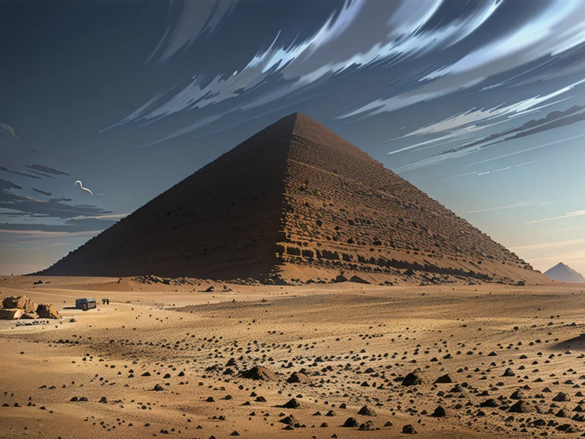
This uninviting place has been a mystery for archaeologists, some of whom have discovered proof that the Nile River at one point flowed nearby and helped build these pyramids 4,700 years ago.
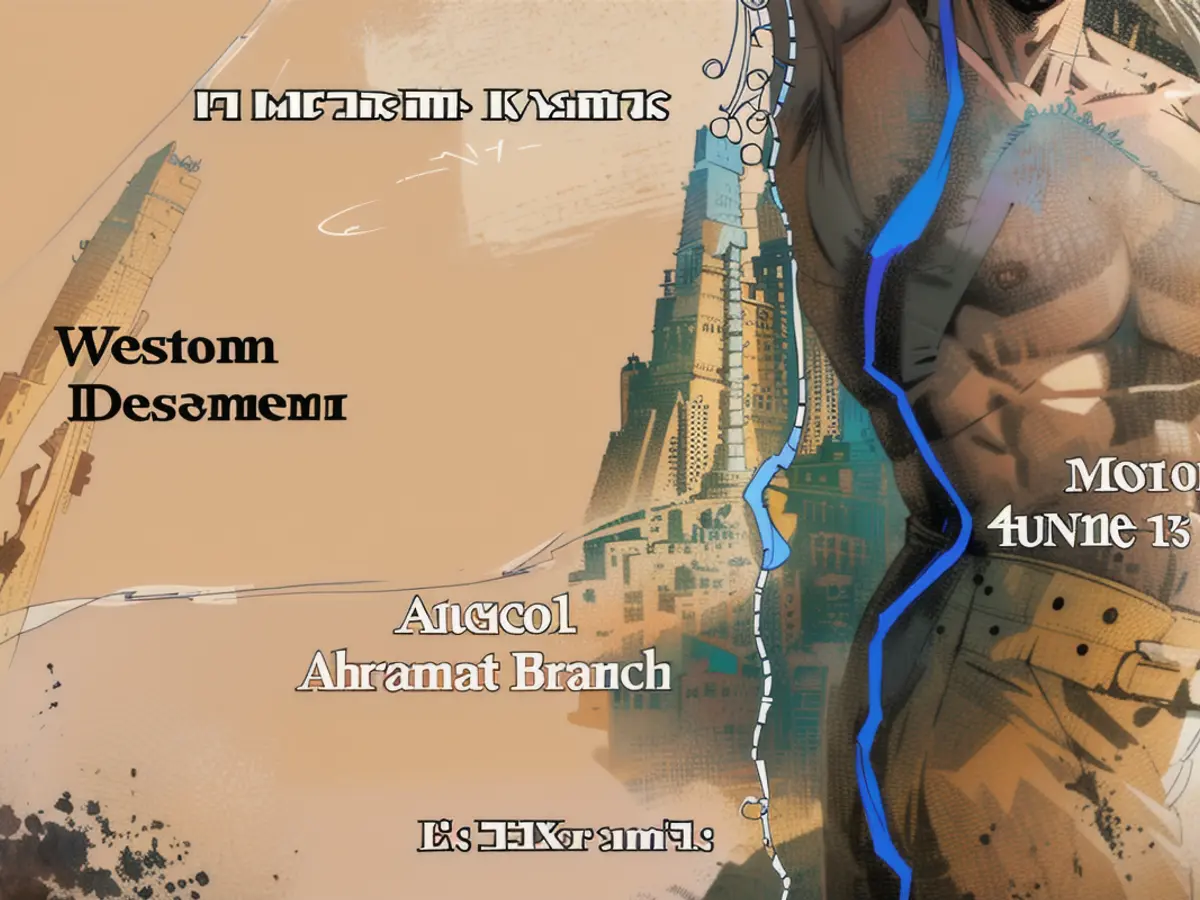
Through satellite imagery and analyzing cores of sediment, a new research article published on Thursday in the journal Communications Earth & Environment has created a map of a 64-kilometer (40-mile) long, dried-up, tributary of the Nile. This tributary once flowed alongside the pyramids, but is now buried beneath farmland and desert.
"Although there have been many attempts to reconstruct the ancient Nile waterways, most have been limited to collecting soil samples from small sites, which has resulted in only fragmented maps of the ancient Nile channel systems," stated Eman Ghoneim, the lead author and professor and director of the Space and Drone Remote Sensing Lab at the University of North Carolina Wilmington's department of Earth and ocean sciences.
"This is the first study to provide the first map of the long-lost ancient branch of the Nile River," added Ghoneim.
The study's researchers refer to this long-gone branch of the Nile as "Ahramat," which means "pyramids" in Arabic.

This extinct branch of the Nile would have been around 0.5 kilometers wide (about one-third of a mile) and at least 25 meters (82 feet) deep. Ghoneim shared that the size and length of the Ahramat Branch, along with its proximity to the 31 pyramids in the area, suggests it was an essential waterway.
"It would have played a critical role in the transportation of the massive amount of building materials and laborers required for the pyramids' construction," said Ghoneim.
Furthermore, many of the pyramids in the area have a causeway, a raised ceremonial walkway, that runs perpendicular to the path of the Ahramat Branch and ends directly on its bank.
Hidden tracks of a vanished waterway

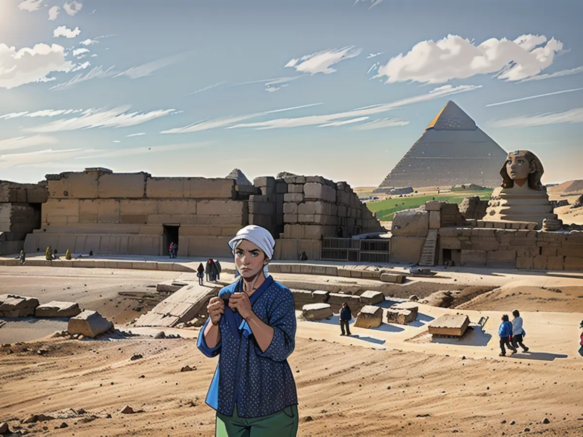
Ghoneim wasn't able to spot signs of the river in aerial photographs or images from optical satellites. While analyzing radar satellite data for potential groundwater origins, the waterway's presence caught her attention.
"Being a geomorphologist and paleohydrologist, I can identify landforms, and I have a 'trained' eye," she noted.
"While reviewing the radar satellite data for any ancient rivers or lakes, I spotted this evident branch or riverbank, which didn't make sense because it is far from the Nile," she added.
Ghoneim was born and raised in Egypt, and the cluster of pyramids in this region had always intrigued her. She applied for a grant from the National Science Foundation to investigate further, and ground-level geophysical data, collected through ground-penetrating radar and electromagnetic tomography, confirmed that this was indeed an ancient arm of the Nile. Two drill cores of earth collected by the team unearthed sandy sediment consistent with a river channel at about 25 meters (82 feet) deep.

The study notes that several likely temples may still be buried under the farming fields and sand along the bank of the Ahramat Branch.
The cause of this tributary's disappearance or drying is still unknown, but a period of drought and desertification possibly filled the river with sand, burying it.
According to geographer Nick Marriner of the French National Centre for Scientific Research in Paris, who was not part of the study but has researched the Nile's fluvial history in the Giza area, this study helps fill in an important gap in understanding the ancient landscape.
"The study finishes a significant part of the ancient landscape puzzle," Marriner said. "By combining these pieces, we can create a clearer picture of what the Nile floodplain looked like when the pyramids were being built and how the ancient Egyptians utilized their environments to transport building materials for their colossal construction projects."

Read also:
- This will change in December
- Dikes withstand water masses so far - Scholz holds out the prospect of help
- Fireworks and parties ring in 2024 - turn of the year overshadowed by conflicts
- Attacks on ships in the Red Sea: shipping companies avoid important trade route
The new discovery of the ancient Nile tributary, named "Ahramat," brings to light the possibility that the Middle East region may have relied on this waterway for the transport of resources needed to construct the nearby pyramids, including the Red Pyramid at Dahshur.
This finding further emphasizes the significance of the Middle East in ancient civilizations and highlights the role of water systems, such as the Nile River, in shaping these societies' development.
Source: edition.cnn.com


