German Meteorological Agency Issues Statement - Persisting storms in the south with the promise of relief visible through these depictions of current weather conditions.
Check out the map below to see the current water levels and flood situation, provided by the German Weather Service (DWD).
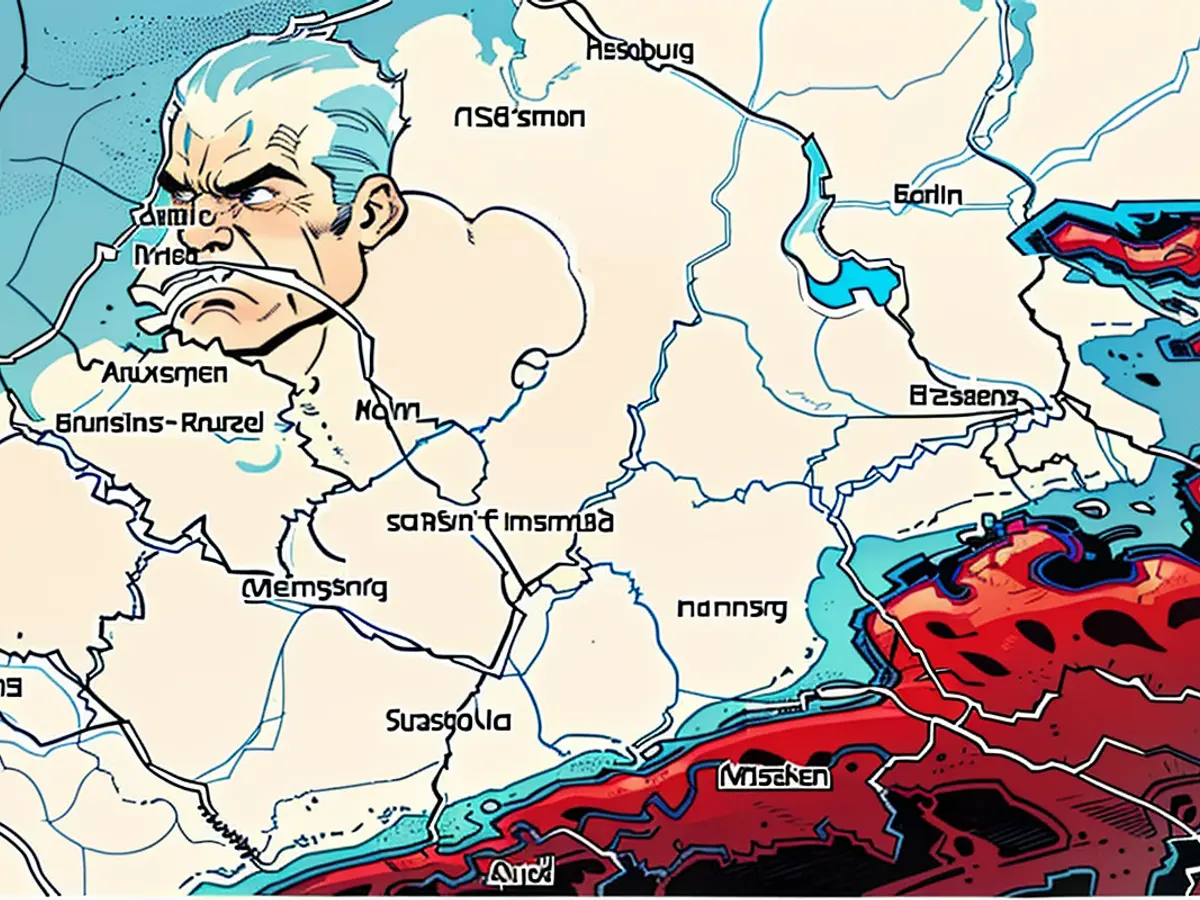
Weather Map IV: Thunderstorm Warnings for Today
The map above shows the DWD's thunderstorm warnings for today. Areas with thunderstorms are shaded in red, while uncolored areas have no warning.
The flood situation has improved in many parts of Bavaria since the recent incidents. Although the German Weather Service (DWD) predicts thunderstorms and rain in some areas, they expect the situation to stabilize over the weekend. The Danube's water level has dropped at most measurement points overnight on Saturday, and it is expected to continue falling, according to the flood warning service.
In Kelheim, despite the high water issue, the dams are holding. The same goes for Straubing and Passau. The water level of the Danube in Straubing might drop below warning level 3 by nightfall, while Passau remains at warning level 3 for now.
The situation is also calming down in the Upper Palatinate. Regensburg's water levels already fell below warning level 2 overnight on Friday. Residents in a streets considered to be at high risk could return home on Friday. The city's flooding-prone shipyard street's safety measures have been completed, according to a spokeswoman for Regensburg on Saturday morning. The extent of the damage to the street is still unknown. No additional measures are currently planned. The flood protection elements will remain in place until further notice, despite the decrease in the Danube's water level. The state of emergency in Regensburg won't be lifted just yet.
According to the DWD, thunderstorms and rain will occur until Monday, mainly in the south. On Saturday, there might be thunderstorms with heavy rainfall up to 40 liters per square meter, wind gusts up to 100 kilometers per hour, and hail. However, the DWD's flood warning experts downplay the risks, stating, "The rain amounts won't be significant in affected areas" and "warning levels 1 and 2 are the most likely."
The map below presents the current flood levels based on these warnings. Areas in red indicate major flooding warnings, purple - very major, orange - medium, and yellow - small. Striped areas have a warning but no specific level assigned. Green areas can be drained, with warnings lifted, and white areas have no warning. The data comes from the interstate flood portal of the participating states, which is automatically updated. Click on any colored dot to learn more and access the respective flood portal for that region.
Using the map: Feel free to zoom in or out and adjust the view.
Read also:
- Despite the improving flood situation in many parts of Bavaria, the German Meteorological Agency warns of potential thunderstorms and rain in some areas over the weekend, which could contribute to the top news headlines in Germany.
- The upcoming weekend might bring respite from the persistent storms, but the Thunderstorm Warnings for today, as shown in the Weather Map IV, indicate that the threat of severe weather continues, making it a key topic in the top news headlines.
- As Germany grapples with the aftermath of the floods, new headlines are expected to emerge this weekend, including updates on the threatened areas, potential relief from the storms, and any announcements from the German Meteorological Agency regarding the upcoming thunderstorms.


