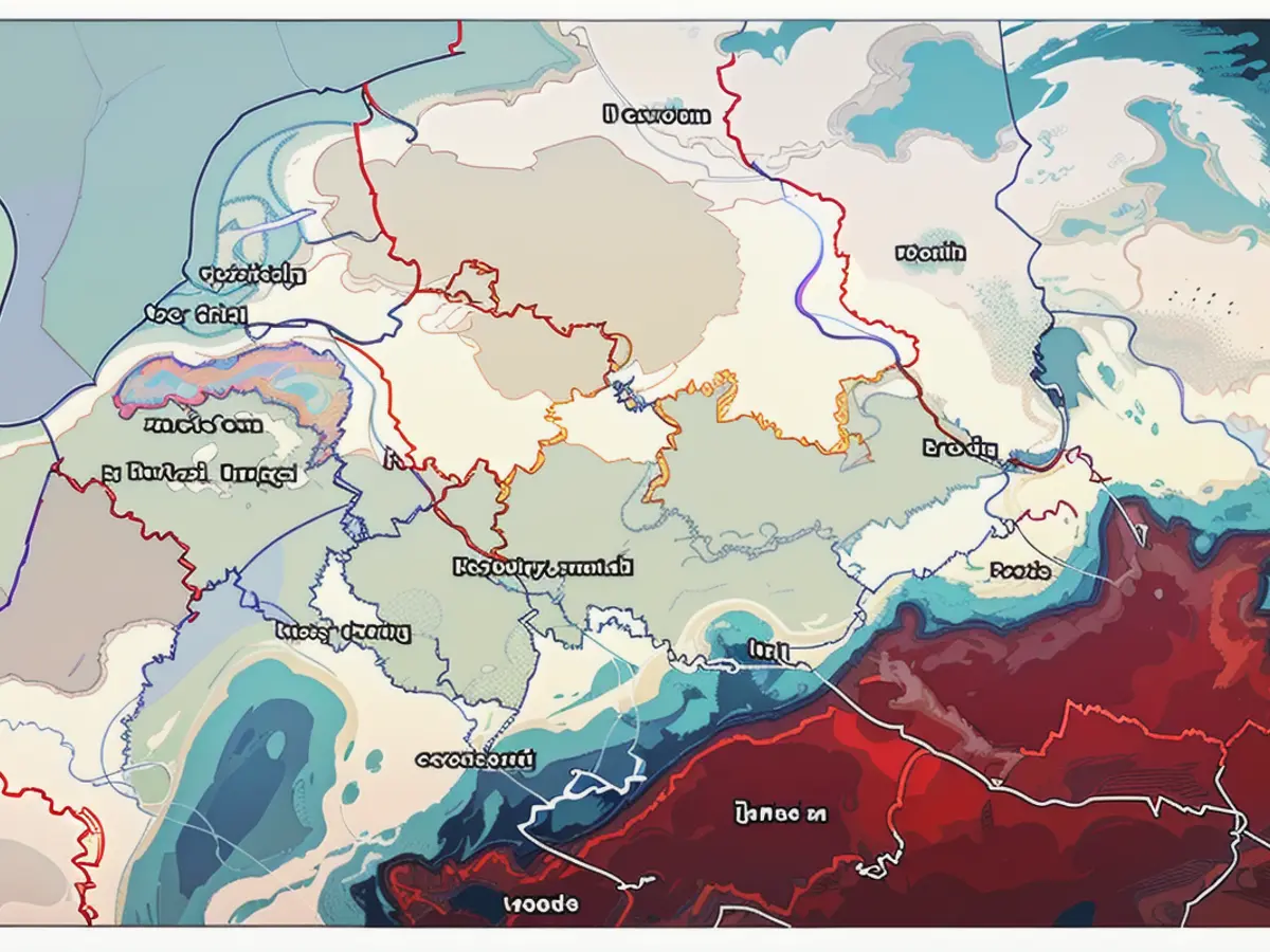
Live-action and sneak peek: - Latest storm maps display heavy rain, flood conditions, and thunderstorm occurrences.
## Weather Maps
- Please find below four different weather maps providing live updates on different aspects:
Weather Map 1: Viewing real-time storm formations
- Interact with the map to view where lightning, thunder, and rain currently occur. Also, use the timeline at the bottom to access forecasts for specific time periods. You can select different layers to display rain or snow.
- Offered by Windy.com, this service employs a model from the "European Centre for Medium-Range Weather Forecasting."
Weather Map 2: Real-time rainfall tracking
- Wetter.de, a website within the RTL group, provides this real-time rainfall map.
Weather Map 3: Up-to-date water levels and flood status
- This map displays current water levels, indicating regions where flooding might occur. Markings in red denote areas with major flood warnings, violet marks severe flooding areas. Orange regions signify medium flood warnings, yellow indicates minor flooding. Areas with stripes feature warnings from the respective authorities, while green signifies areas where water can be drained. White areas mean no warning, and North Rhine-Westphalia does not have any available data. The map updates automatically. To know more about a specific location, click a colored dot and it'll lead you to the respective state portal on floods.
Weather Map 4: Today's thunderstorm warnings
- The DWD (German Meteorological Service) has issued thunderstorm warnings for today, mapped in red. Areas with no coloring have no warnings issued.
News
From southern Germany, after weeks of non-stop rainfall, rivers and streams have ceased to contain their water in many places of Baden-Württemberg and Bavaria. As a result, several thousand people have been displaced due to flooding. Around 30,000 individuals have joined in efforts to aid those affected. The DWD (German Meteorological Service) predicts a surge of powerful thunderstorms and heavy rain at the start of the upcoming week. According to their Monday morning warning report, there will be intense lightning and heavy rain in the south region of the Main up to the Danube from midday to evening. These storms will eventually move towards the Upper Rhine and northern Alpine foothills by evening, triggering a storm warning. Starting in the evening, storms with heavy rain and localized storms are expected in Thuringia, Saxony, eastern Saxony-Anhalt, and Berlin as well.
Interestingly, the first powerful thunderstorms with significant rainfall will commence in the Alps during the evening. The DWD forewarns the south, with plans for more thunderstorms with heavy rain and localized storms in other regions as the afternoon and evening unfold.
Read also:
- Amidst the ongoing prediction of powerful thunderstorms and heavy rain by the DWD (German Meteorological Service), the Top news headlines for this weekend are strongly focusing on the storm warnings and flood conditions in various regions of Germany.
- As part of the weekend's Top news, the headlines include updates on the extensive impact of the ongoing storm and thunderstorm occurrences in Germany, specifically the regions of Baden-Württemberg and Bavaria, where many people have been displaced due to flooding.
- Over the weekend, Storm alerts and heavy rain warnings continue to dominate the news headlines in Germany, with specific focus on the severe weather conditions and their impact on water levels, flood status, and safety measures in regions like the Upper Rhine and northern Alpine foothills.


