Intense tropical weather conditions are affecting the Carolinas, with Helene looming as a potential storm formation threat.
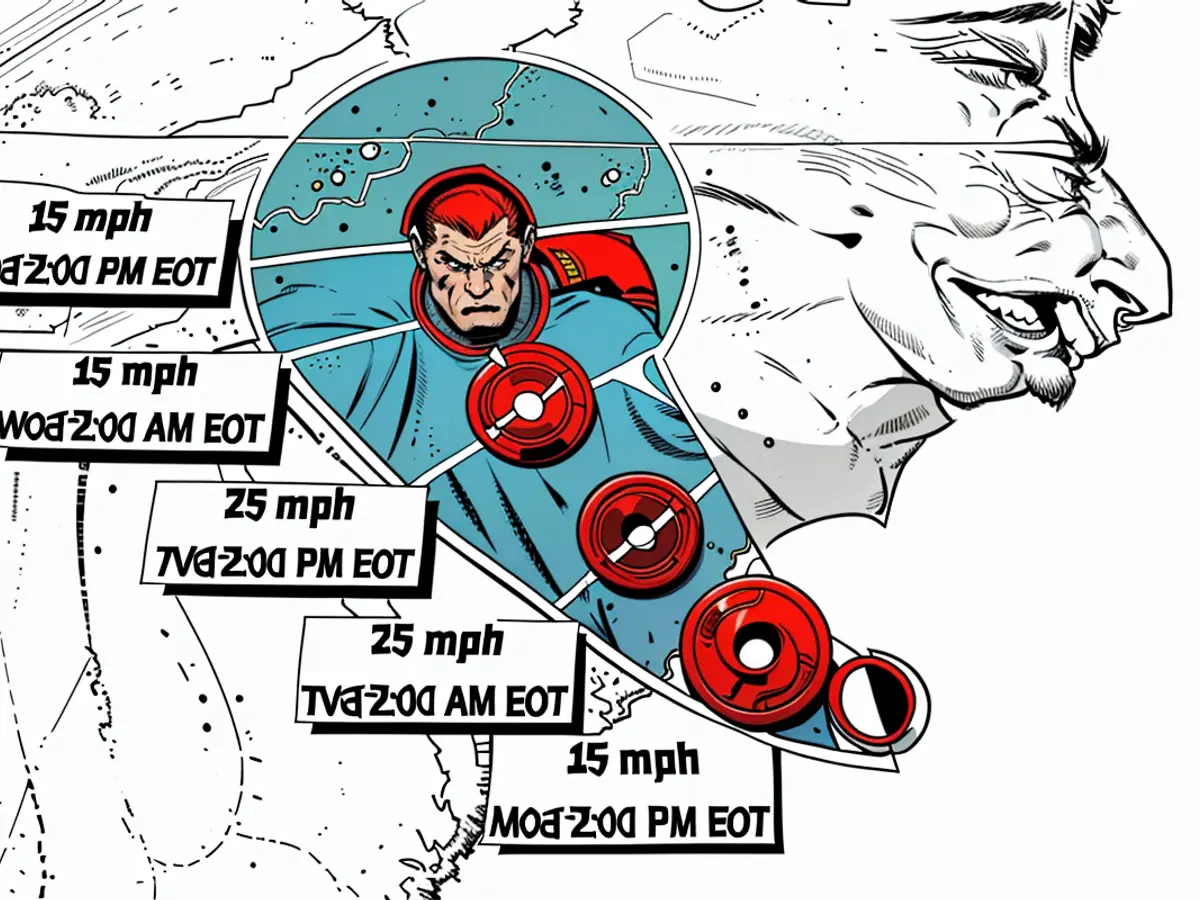
Approximately 100 miles east of Charleston, South Carolina, a system was present early Monday, boasting tropical storm-strength winds of 50 mph. At the moment, tropical storm warnings have been issued for the coastal Carolinas. Despite being classified as Potential Tropical Cyclone Eight due to insufficient organization, there's a 50% chance it might be promoted to a tropical or subtropical storm prior to landfall around midday Monday. However, time is running out for it to meet the criteria.
Heavy precipitation had already started to soak the eastern regions of the Carolinas by Monday morning, triggering at least one flash flood warning, whilst powerful winds battered the coastline, causing rough seas.
Upon rising, Potential Tropical Cyclone Eight displayed an unusual characteristic: its strongest winds and heaviest rain were not concentrated around its center. Instead, most of the system's intense rainfall and gusty winds were located far from the poorly defined center, as indicated by satellite imagery.
As a result, while southeastern South Carolina is predicted to experience landfall, northern South Carolina will most likely bear the brunt of its effects.
Flooding rains will be the system's most significant risk. Areas close to the North Carolina-South Carolina border, such as Wilmington, North Carolina, are rated level 3 out of 4 for the likelihood of flooding rainfall on Monday, as per the Weather Prediction Center. A broader level 2 out of 4 risk area encompasses major portions of North Carolina and northern South Carolina, increasing the possibility of floods, especially if numerous episodes of heavy rainfall occur.
By Monday night, widespread rainfall totals of 4 to 8 inches will saturate these regions, with some parts of extreme southern North Carolina potentially receiving double-digit totals. In addition, this system may spawn several tornadoes in eastern North Carolina on Monday. Up to 3 feet of storm surge could hit northern South Carolina's coastline and southern North Carolina's Outer Banks from Monday afternoon until landfall, with hazardous marine conditions continuing throughout the day, according to the National Weather Service warning.
As the system moves inland over South Carolina by late Monday and Monday night, its wind speeds will rapidly weaken. Although rain will continue to fall over parts of the Carolinas and reach further up the Mid-Atlantic by Tuesday, the system is expected to dissipate completely by midweek.
The Carolinas experienced between 6 to 12 inches of rainfall from Debby in early August, creating a flash flood emergency near Charleston, South Carolina.
If the system passes the criteria to be named Monday, it will mark the first named storm to make landfall in South Carolina since Hurricane Ian struck as a Category 1 hurricane in 2022, and the fourth named storm to hit the US during this hurricane season.
This report includes contributions from CNN Meteorologist Elisa Raffa.
The weather forecast predicts flooding rains as the system's most significant risk, with areas near the North Carolina-South Carolina border, such as Wilmington, having a high likelihood of experiencing heavy rainfall. Moreover, the National Weather Service warns of up to 3 feet of storm surge hitting northern South Carolina's coastline from Monday afternoon.


