Heat and humidity could fuel damaging storms for major metros Wednesday
This sticky summertime air will also prime the atmosphere for potentially feisty storms when a cold front slices through the area later Wednesday afternoon and evening.
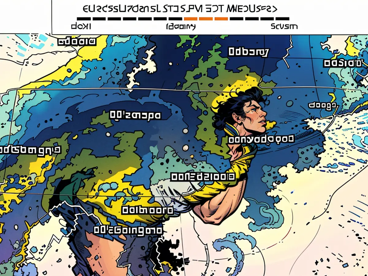
A level 2 of 5 risk of severe thunderstorms is in place from parts of Ohio and Kentucky to New York, New Jersey and Delaware, according to the Storm Prediction Center.
Washington, DC, Baltimore, Philadelphia and New York City could all encounter damaging storms.
A few thunderstorms will develop by mid-afternoon in parts of Ohio and western New York and expand south and east. These storms could increase in both strength and scope as the afternoon progresses.
Any potent thunderstorms that develop will likely reach parts of the I-95 corridor by late afternoon or early evening. Damaging wind gusts and heavy rainfall are the greatest threats posed by the strongest storms, but hail and an isolated tornado or two cannot be ruled out.
Any rainfall will ultimately be beneficial for the region, which dried out after being scorched by an intense heat wave last week. But flash flooding could result if heavy rain falls too fast, especially in low-lying or poor-drainage areas.
Some thunderstorms may initially develop separately from one another only to ultimately congeal and form powerful lines that deliver greater wind damage. Power outages may ramp up in this scenario, especially if damaging winds roar over densely populated urban areas.
The storm threat will largely cease during the overnight hours as thunderstorms push off the coast and out over the Atlantic.
A much-needed break from intense summer heat will arrive in the wake of Wednesday’s storms. Temperatures will return to near-normal levels for much of the northeastern US Thursday and persist into the end of the week.
The storms, with their potential for damaging wind gusts and heavy rainfall, may create challenges for Washington, DC, Baltimore, Philadelphia, and New York City, regions still recovering from the aftermath of the intense heat wave that passed last week. As the afternoon progresses, the weather could pose a threat of flash flooding, especially in low-lying or poorly drained areas.


