Gulf Coast braces for potentially hazardous hurricane season
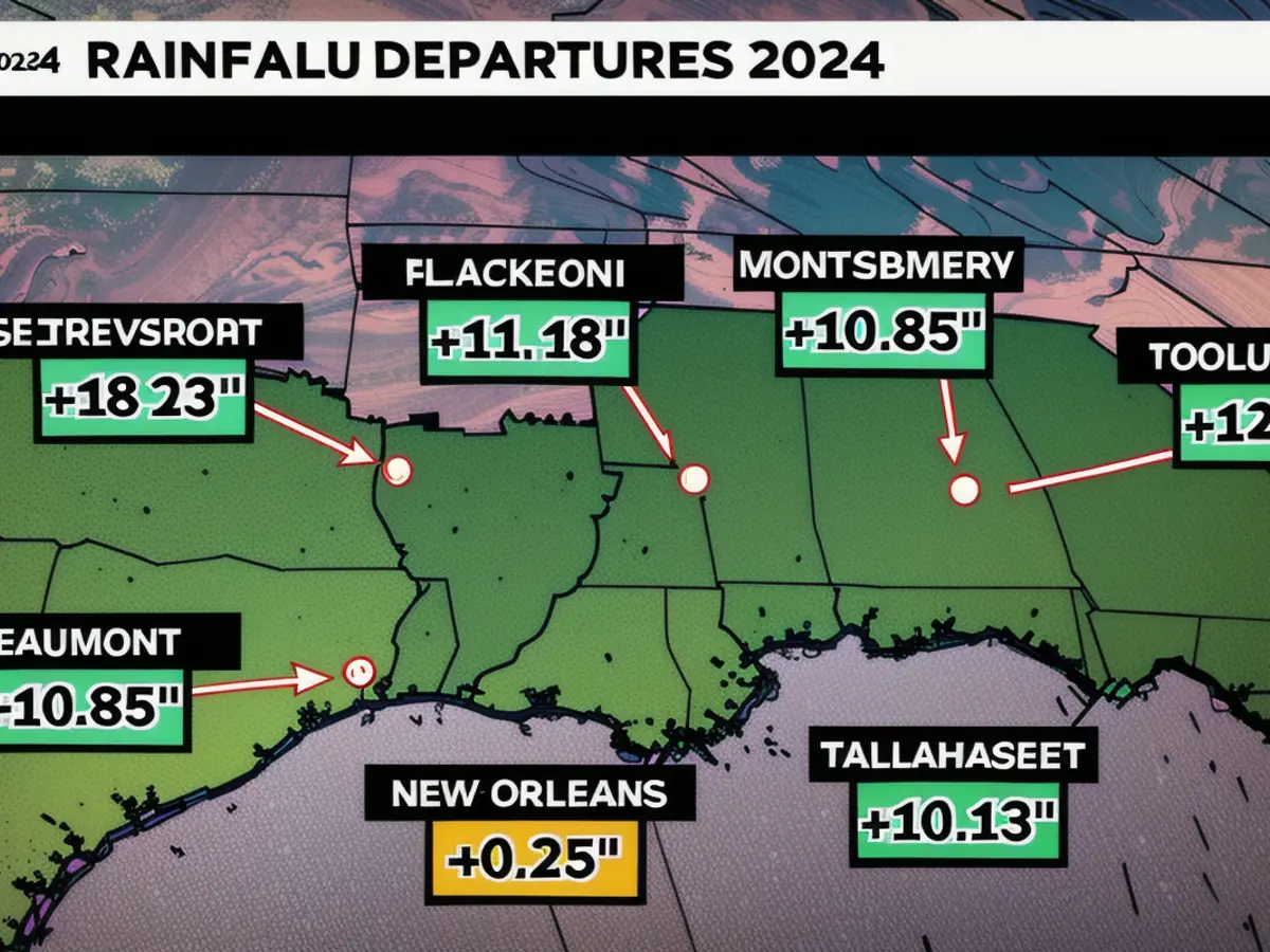
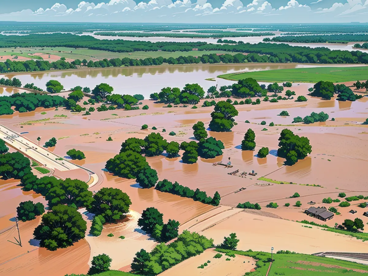
In recent weeks, a large portion of the Southern region has been experiencing intense downpours and flooding, leading many cities between Texas and the Florida Panhandle to report some of their wettest years so far. The soil in the South typically absorbs a few inches of water before becoming oversaturated, but due to the non-stop rainfall, it's already nearing its limit. This actor, Dr. Barry Keim of Louisiana State University, spoke to CNN about the situation.
The present state of the land is very vulnerable to more rain, which is concerning since summer is right around the corner. In a 2021 study published in the journal Geophysical Research Letters, it was determined that 25% of the annual rainfall for the Gulf Coast states comes from tropical systems. New Orleans, for instance, usually receives 15% to 20% of its 63 inches of yearly rainfall from these tropical systems. But unfortunately, these storms rarely limit their contributions to mere inches; numerous examples of major rainfall events can be cited. As climate change causes hurricane rainfall to become more severe, this issue is only worsening.
Inland flooding now ranks as the most dangerous consequence of tropical systems. According to research from the National Hurricane Center in 2023, it has surpassed storm surge as the main source of harm. The upcoming season could see an increased number of these hurricanes, increasing the risk of massive, tropical downpours. This is concerning, given the current wet conditions.
A budding La Niña and extremely warm ocean water are the primary reasons for predicting such a busy hurricane season, which is slated to kick off on June 1. Hurricane forecasters are predicting a particularly active year, with the potential for more storm strikes along the US coast.
One cause for concern is the timeline, as storms may be most likely to cause damage early in the season when the region is already damp and vulnerable. Since 2015, tropical storms or hurricanes have developed in May or the early part of June every single season. Not all of these storms posed a threat, but several of them, such as Tropical Storm Alex from 2022, did lead to significant rainfall.
The current heightened degree of wetness is likely to extend the flood threat well into the season, unless the region warms up quickly and sucks the moisture out of the ground. In contrast, the previous year saw a distinct lack of tropical systems and a surplus of heat domes, which suppressed rain and resulted in its worst drought yet.

On May 26, NOAA's National Hurricane Center also released its hurricane outlook. The forecast aligns with other experts' predictions, calling for an above-average season with between 17 and 25 named storms. Out of these storms, 8 to 13 could develop into hurricanes, and 4 to 7 of them may reach Category 3 or higher. This is the most dramatic preseason projection for the hurricane season outlook that the NOAA has ever issued. There's a 85% chance of an extreme season and a mere 5% chance of a below-average one.
The waning El Niña and the impending La Niña are key elements that suggest this season will be very active. An El Niña promotes more hostile winds that dismantle storms, while a La Niña encourages the opposite. Last year, the El Niña's presence limited the number of storms that impacted the US coastline. However, this year, the El Niña will not be present, increasing the chance of storms getting closer to the United States.
Additionally, the ocean retains unusually high temperatures, which plays a significant role in storm development, strengthening, and survival. Although last year's ocean temperatures weren't quite as extreme, they led to more storms in the Atlantic by dispelling the inhibiting impact of El Niña. Furthermore, they helped intensify storms more rapidly around the globe, a situation that's becoming increasingly common as atmospheric and oceanic temperatures change.
And the Atlantic is still exceptionally hot, with both the surface and subsurface waters radiating warmth.

Read also:
- Rain expected again: The situation in the flood areas remains threatening
- Continuous rain until Thursday: Concerns about collapsing dykes are growing in the flood areas
- Flood situation remains tense - more rain forecast
- Flood situation remains tense - weir on the Elbe is opened
The current wet conditions in the South make the land highly susceptible to additional rainfall, given that it's already approaching its saturation point. As reported by the National Hurricane Center in 2023, inland flooding has surpassed storm surge as the leading source of harm during tropical systems.
With 25% of the annual rainfall for the Gulf Coast states coming from tropical systems, and cities like New Orleans typically receiving a substantial portion of its yearly rainfall from these storms, the potential for severe weather events is significant.
Source: edition.cnn.com


