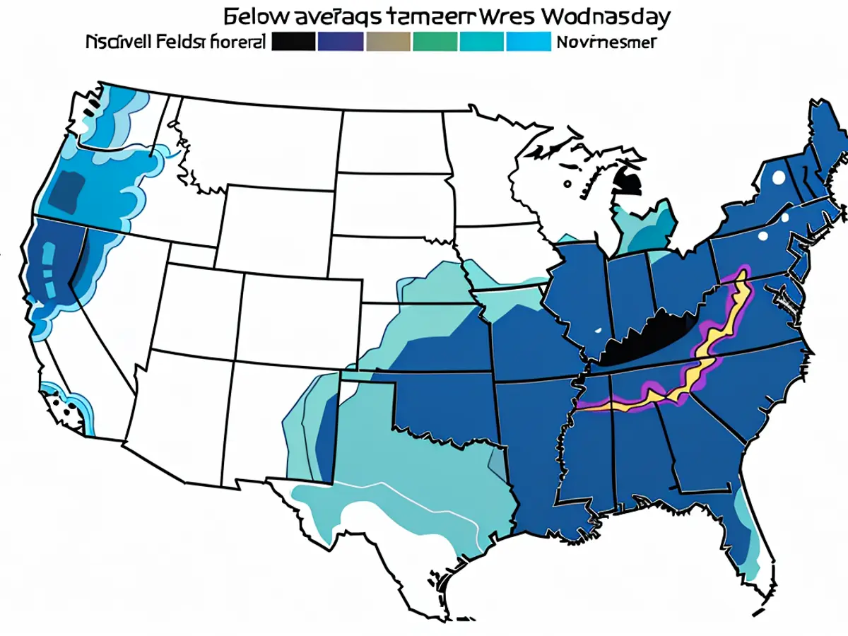
Florida remains vigilant as a fresh tropical danger materializes in the Gulf, following closely on the heels of Hurricane Helene.
Tropical Depression 14 developed in the western Gulf on Saturday morning and is predicted to transform into Tropical Storm Milton within the next 24 hours, as per the National Hurricane Center's statement. This is the 13th named storm, using the letter 'M', and it's advancing ahead of schedule – it usually appears on October 25.
As per the hurricane center's forecast, the depression is expected to strengthen rapidly while traveling eastward to northeastward across the Gulf of Mexico, potentially reaching or attaining major hurricane strength as it approaches the west coast of the Florida Peninsula by midweek.
There's a strong consensus among weather forecast models that this system will continue its eastward journey, making landfall on the west coast of the Florida Peninsula by Wednesday.
Hurricane watches, along with storm surge watches, might be announced for certain areas of the Florida coast as early as Sunday.
According to the NHC, regardless of its development, heavy rainfall could affect certain parts of Mexico in the coming day or two, and most of Florida from the later part of this weekend until midweek next week.
The catastrophic aftermath of Helene, which made landfall as a Category 4 storm on September 26 in Florida's Big Bend, has led to reported deaths exceeding 200 across six states. Authorities are apprehensive that the death toll may further increase.
Helene was one of the substantial storms that the Gulf of Mexico has witnessed in the last century.
As suggested by the current forecast, the state could expect widespread precipitation totals of 4 to 6 inches nearly throughout its entire length, from Gainesville to Key West, with isolated areas seeing up to 10 inches of rain until Thursday. Tampa has already surpassed its annual rainfall norm by more than 20 inches. Cities such as Melbourne, Jacksonville, Naples, and Fort Myers also have surplus rainfall of over a foot so far this year.
There's also a mounting threat of storm surge for the western Florida Peninsula from as early as late Tuesday or Wednesday. Damaging winds, tornadoes, and waterspouts are also forecast for next week.
The hurricane center advises people residing in Mexico's Yucatan Peninsula, the Florida Peninsula, the Florida Keys, and the Bahamas to closely monitor this system this weekend and early next week, keeping a watch for any potential impacts.
The current weather pattern suggests that the depression might bring heavy rainfall to certain parts of Mexico in the next day or two. As the tropical depression gains strength, it could potentially lead to storm surge for the western Florida Peninsula from late Tuesday or Wednesday.


