Florida prepares for the possibility of a powerful hurricane, bringing strong winds and hazardous storm surges.
The weather system is set to accelerate and is anticipated to transform into Hurricane Helene as it draws near to the coast, bringing winds, rain, and storm surge into the southeast before making landfall in Florida, predicted the National Hurricane Center, who have named it Potential Tropical Cyclone Nine.
Florida's Governor, Ron DeSantis, has declared an emergency for 41 out of 67 counties to facilitate quick preparations and collaboration between state and local authorities ahead of the storm's effects.
Without much time for preparation, Tampa General Hospital started constructing a 10-foot-high flood barrier around the facility on Monday, due to the possibility of storm surge and changes in the storm's trajectory.
On Monday, the potential cyclone was a cluster of showers and thunderstorms swirling in the far western Caribbean Sea. The NHC predicts that the system will rapidly strengthen, transitioning into a hurricane by Wednesday night and ultimately reaching Category 3 strength.
The last hurricane to strike the US as a Category 3 – Idalia – also hit Florida, bringing winds of 125 mph and causing record-breaking storm surge from Tampa to the Big Bend in August last year.
Idalia underwent a period of rapid strengthening over the warm waters of the Gulf of Mexico – witnessing its sustained winds increase by 55 mph in a span of 24 hours.
A tropical storm watch was issued for Florida’s Dry Tortugas and a section of the Keys on Monday afternoon, and for Bonita Beach to Flamingo on Monday evening, with a storm surge watch also in effect in those areas.
Further alerts will be released for the US in the coming days, with a potential landfall in Florida expected as early as Thursday evening.
The National Hurricane Center anticipates a landfall in Florida’s Big Bend region, but CNN meteorologist Mary Gilbert advises that anyone from Florida's Gulf Coast to eastern Louisiana should remain vigilant this week.
Powerful, potentially destructive winds and storm surge are expected near where the system eventually makes landfall. The system will also stir up waves in the Gulf and could produce rough surf and dangerous rip currents in much of the basin, particularly later this week.
“Strengthening is expected during the next few days, and the system is forecast to become a hurricane on Wednesday and continue intensifying on Thursday as it traverses the eastern Gulf of Mexico,” the NHC said in an 11 p.m. advisory on Monday.
Forecast accuracy regarding the system's exact path will improve once it forms, as models often struggle to precisely predict where it might head without a central point to fix on.
This stormy weather will bring potentially flooding rainfall to sections of Central America, Mexico, Cuba, and Jamaica as it works towards becoming a tropical system. Hurricane and tropical storm watches are already in effect for certain areas of Mexico and Cuba.
“Potential Tropical Cyclone Nine will bring heavy rainfall to portions of the western Caribbean, leading to significant flooding and landslides across western Cuba,” the National Hurricane Center said.
In its 5 p.m. ET forecast discussion on Monday, the NHC warned that the system's expansion over the exceptionally warm Gulf of Mexico would result in significant impacts on the US.
“The storm surge, wind, and rainfall effects will extend far beyond the center, particularly to the east of the system. Additionally, the storm's rapid approach to the coast is likely to result in deeper inland penetration of gusty winds in parts of the southeastern United States after landfall,” it said.
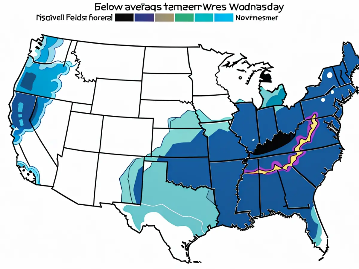
Heavy rainfall is projected for a significant portion of the Southeast during the midweek. A level 2 of 4 risk of flooding rain is in effect for most of Florida, Georgia, Alabama, and parts of the Carolinas on Thursday, according to the Weather Prediction Center.
Helene could bring intense winds and torrential downpours to large parts of Georgia and the Carolinas by Friday. This could result in extremely hazardous flooding and widespread power outages.
“Heavy rainfall is likely to result in localized severe flash and urban flooding across sections of Florida, with isolated flash and urban flooding possible across the Southeast, Southern Appalachians, and the Tennessee Valley on Wednesday through Friday. Minor to moderate river flooding will be possible,” the National Hurricane Center said.
Helene would mark the fourth hurricane to make landfall in the US this year and the fifth hurricane to hit Florida since 2022.
The continuous onslaughts have pushed Florida's insurance market to the edge, with insurers withdrawing from the state due to the escalating risk of severe weather caused by climate change.
The National Hurricane Center also mentioned that the system is expected to bring "heavy rainfall" to parts of Western Cuba, potentially leading to "significant flooding and landslides."
As Helene approaches, the Weather Prediction Center has issued a level 2 of 4 risk of flooding rain for most of Florida, Georgia, Alabama, and parts of the Carolinas on Thursday, indicating a "high risk" of flooding in these areas.


