Approaching Gulf Coast, Tropical Storm Francine intensifies towards hurricane power. Residents of Louisiana are proactively securing their flood defenses.
Francine has the potential to transform into a hurricane by Tuesday, escalating to a Category 2 by landfall. Such a powerful storm could instigate substantial damage to buildings and widespread power outages, leading Louisiana's governor to declare a statewide emergency before its arrival.
By Monday evening, Francine was approximately 125 miles away from the Texas-Mexico border, demonstrating maximum winds of 65 mph, just 9 mph short of hurricane status, as stated by the National Hurricane Center.
Areas along the upper Texas and Louisiana coastlines might confront flooding rainfall, robust winds, and dangerous storm surge as Francine transits. The regions most likely to experience severe consequences will likely be those in southern Louisiana around the time of landfall.
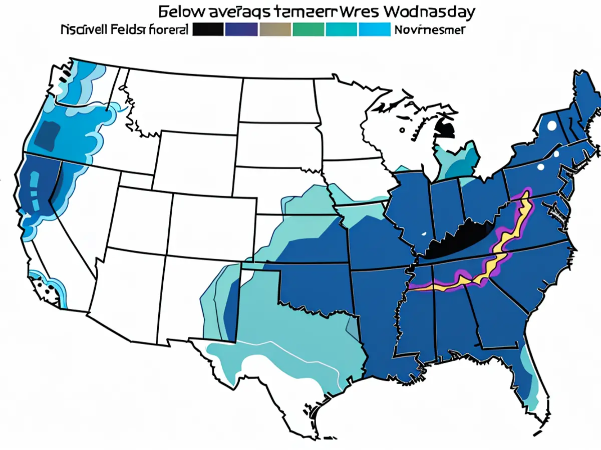
Over 5 million people are currently under flood warnings across the Gulf Coast. Francine is anticipated to result in rainfall totals between 4 to 8 inches from the northeast Mexico coastline to southern Mississippi, and specific regions may even face up to 12 inches.
Louisiana, Texas, and parts of the Gulf Coast have all issued hurricane, tropical storm, and surge warnings. The Hurricane Center has also warned about a storm surge from High Island, Texas, up to the Mississippi River's mouth.
Though moving at 5 mph around 10 p.m. CT Monday, Francine is projected to boost its speed up on Tuesday.
The exact Louisiana landfall location for Francine is still uncertain, and the storm might even become more potent than predicted. The storm's progression may be fueled by extremely warm ocean water – an indicator of a planet heating up due to fossil fuel emissions – which functions as jet fuel for tropical storms.
Emergency preparations are currently underway in Louisiana, where coastal communities are well-acquainted with the devastation such storms can inflict. Gov. Landry requested the assistance of the Federal Emergency Management Agency on Monday.
Mandatory evacuation orders have been issued in Cameron Parish, Louisiana, according to social media posts by officials. Both mandatory and voluntary evacuations have been ordered in Jefferson Parish's Grand Isle, which was devastated by a Category 4 storm, Ida, in 2021.
Some parishes, such as St. Mary and Terrebonne, began closing floodgates and distributing sandbags Monday. Terrebonne Parish also declared a state of emergency, as per a news release.
Schools are scheduled to close in several Louisiana parishes, including Jefferson, Terrebonne, and Orleans (which encompasses New Orleans), on Wednesday and Thursday.
In Mississippi, residents of Pass Christian have begun voluntarily evacuating.
What to expect along Francine's trajectory
The influence of Francine will be felt prior to its arrival and may persist well into this week as it approaches land and weakens.
“Francine is projected to bring heavy rainfall and the potential for significant flash flooding along the coast of northeast Mexico, the far lower and far upper Texas coasts, most of Louisiana, and Mississippi into Thursday morning,” the National Hurricane Center stated.
As early as Tuesday, tropical storm-strength winds will commence to affect portions of the northeastern Mexico and southern Texas coasts. Storm surge and rough surf may also result in minor flooding on the Mexico coast during the early part of this week.
Storm surge will intensify as Francine gets closer to landfall, flooding normally dry areas with several feet of water. Central Louisiana coastal regions may experience the most severe flooding, with potential surge levels reaching up to 10 feet above the average.
A storm surge warning was issued Monday for coastal regions in far eastern Texas, Louisiana, and Mississippi.
Rainfall poses a considerable threat, beginning in parts of Texas and northwest Mexico Monday and continuing further into the western Gulf Coast on Tuesday. Texas is predicted to experience most of its heavy rainfall early this week, but the most severe conditions might not emerge until late Tuesday night in Louisiana.
Francine should lose strength quickly upon landfall on Wednesday, but rainfall is expected to continue drenching regions of the lower and middle Mississippi River Valley for the remainder of the week. The rain will move northward along the Mississippi River on Thursday, potentially offering a beneficial increase to the river's currently low water levels.
Though Francine will have moved on by the end of the week, further storm activity may be brewing in the Atlantic.
Two additional regions in the open Atlantic have a medium chance of developing in the upcoming days, according to the hurricane center. Any potential tropical system from either area is still several days away from development, so it is premature to speculate on their potential paths.
As Francine approaches land, the weather conditions could become increasingly harsh. Residents in coastal areas might experience hurricane-force winds, heavy rainfall, and dangerous storm surge, as predicted by meteorologists. The potentially severe impact on communities is a stark reminder of the effects of climate change, with warmer ocean temperatures acting as fuel for tropical storms.


