Alert level red - Mallorca between records and storms
Heatwaves from Africa heat up the Mediterranean region. Water temperatures are also rising, reaching record highs. A heavy thunderstorm is sweeping over the popular island of Mallorca in the energetic air. Authorities are also warning of heavy rainfall today.
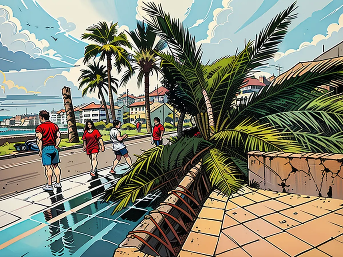
Especially the south and southeast of Europe are groaning under partly extreme heatwaves. Temperatures are rising above the 40-degree mark in some places, making life almost unbearable for people there. And the heatwave can have further consequences. The popular holiday island of Mallorca already got a taste of this yesterday when a heavy thunderstorm front passed through. The situation is expected to improve in the coming days.
The heat bubbles from North Africa, which are driving temperatures up, also have a significant impact on the Mediterranean. On the one hand, it affects fauna and flora, as higher water temperatures reduce the oxygen content in the water. For example, a water temperature of 31.87 degrees was measured near the small island of Dragonera, about 30 kilometers west of Palma, at the beginning of the week. The previous record of 31.36 degrees was recorded in August 2022.
On the other hand, the Mediterranean water, which is too warm, is an enormous energy reservoir. When low-pressure systems come into play, an extremely explosive mixture with very high storm potential can result. The water can serve as an energy source well into the fall and even the early winter.
Red Alert
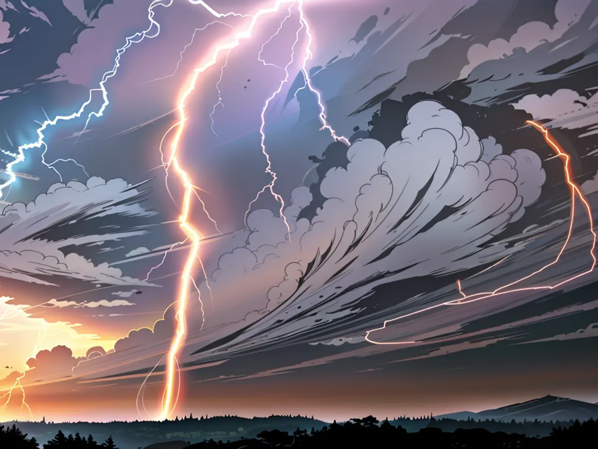
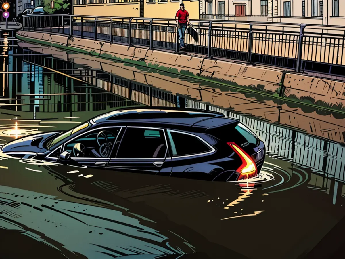
The past few hours have given the Balearic Islands a taste of a stormy autumn. An extreme thunderstorm line swept across the Mediterranean islands, causing significant disruptions to air traffic on Wednesday. Dozens of flights to and from Palma were canceled, and many other connections had significant delays, authorities said. No wonder, given the intensity of the extremely lightning-heavy thunderstorms. The fire department had to intervene repeatedly to remove fallen trees or pump out flooded basements. However, the air traffic on Mallorca is likely to be disrupted until Friday.
The strongest gusts reached speeds of over 100 kilometers per hour (km/h) - for example, in Alfabia on Mallorca with 111 km/h. At the same time, up to 50 liters of rain per square meter fell, causing flooding. Over 70,000 lightning strikes were recorded as the thunderstorm line passed. There was also likely a waterspout - a so-called waterspout.
And today and tomorrow, heavy thunderstorms with the risk of heavy rain, hail, and storm gusts are still expected over the popular holiday islands before it gets calmer over the weekend. The national weather service Aemet has issued a red alert for Mallorca, which is extremely rare. This will be in effect until 15:00 for the northeastern part of the island, with up to 180 liters of rain expected to fall in a few hours. The regional government has banned large gatherings outdoors.
The European Union, with its membership including several countries bordering the Mediterranean, is closely monitoring the weather events in the region. The extreme weather conditions, such as the heavy thunderstorms in Mallorca, have caused significant disruptions to air traffic. The national weather service Aemet, which is part of the European Meteorological Commission, has issued a red alert for Mallorca, a rare occurrence in the EU weather warning system.


