A protracted period of treacherous weather may prolong the spell of twisters throughout the week.
"Several powerful tornadoes, massive hailstones, and strong winds are predicted to occur," as mentioned by the Storm Prediction Center on Sunday.
More than 2 million individuals in the regions of Oklahoma City to Wichita, Kansas, will face a significant risk of severe storms, with an occurrence rating of 4 out of 5.
Places that have experienced tornadoes less than two weeks ago anticipate the emergence of severe weather on the afternoon and evening of Monday.
So far, the United States has reported 10 consecutive days of tornadoes, with the potential to add on. A multi-day severe weather event is possible on Monday until Wednesday, leading to an even greater increase in already-high tornado rates.
May is the busiest month for tornadoes in America, with tornadoes already skyrocketing above the average. Through May 4, the US has experienced a total of 583 preliminary tornado reports this year - a tad higher than the average yearly total of 531. Last month was marked by a second-highest number of preliminary confirmed tornadoes for April, reaching 300.

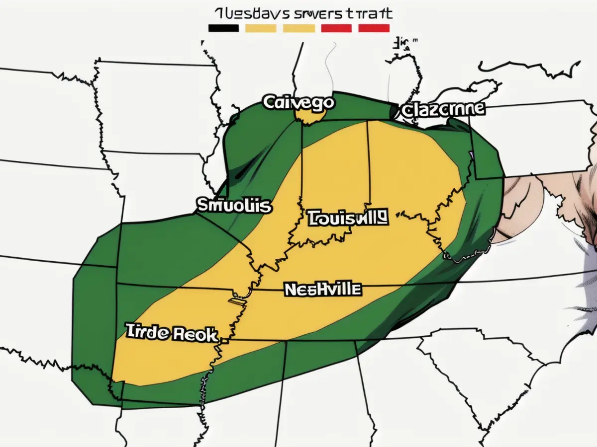
By Tuesday, the hazard shifts eastward into the Mississippi Valley and Ohio Valley regions, posing a Level 2 out of 5 risk to areas like Louisville, Nashville, Kentucky, Memphis, and Little Rock, Arkansas, Cincinnati, and Indianapolis. Potential threats include powerful winds, tornadoes, and hail.
In certain areas of Arkansas, Missouri, and Illinois, thunderstorms could be in progress during the early hours of Tuesday. For the other areas, the danger of severe storms will begin in the afternoon and dilate through the night.
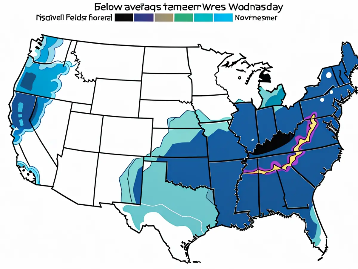
Wednesday's tornado risk covers the region from northeastern Texas to western Ohio, where high temperatures and humidity levels greatly contribute to the generation of severe storms during the daytime and sustain them through the evening and night. All types of dangerous weather phenomena could potentially arise on Wednesday, including prominent hail, high winds, and tornadoes.
Read also:
- Rain expected again: The situation in the flood areas remains threatening
- Continuous rain until Thursday: Concerns about collapsing dykes are growing in the flood areas
- Flood situation remains tense - more rain forecast
- Flood situation remains tense - weir on the Elbe is opened
In light of the continued tornado activity, authorities in affected areas might need to issue additional warnings and evacuation orders. Despite the high risk, emergency services should remain vigilant and prepared to respond swiftly to any new tornado threats.
Source: edition.cnn.com


