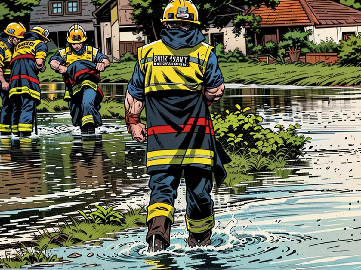
- Este otoño, Alemania está soportando condiciones climáticas severas, incluyendo inundaciones y huracanes.
La temperatura del aire de la Tierra ha estado rompiendo consistentemente récords debido al cambio climático inducido por el ser humano. Sin embargo, el calentamiento de los mares ha progresado a un ritmo más lento hasta el año pasado. En 2023, numerosos institutos de todo el mundo informaron récords históricos de temperatura, especialmente en el Atlántico Norte.
Los mares desempeñan un papel crucial en el desarrollo del tiempo, ya que sirven como enormes unidades de almacenamiento de energía. En comparación con el aire, el agua tiene una capacidad calorífica mucho mayor, lo que requiere cuatro veces más energía para calentarse un grado, lo que luego se puede liberar cuatro veces más fuerte.
Se necesitaron varios años de crisis climática en aumento para calentar los mares hasta este punto. Los récords actuales de calor marino no habrían sido posibles sin el calor del año pasado. Además, el agua caliente de la superficie se está mezclando cada vez más profundamente, aumentando el reservorio de energía.
Peligro creciente de tormentas en Europa debido a mares más cálidos
Cuando esta energía se libera de repente, representa un riesgo significativo. Esto es especialmente cierto cuando las masas de aire frío se mueven hacia el sur en el otoño y encuentran el mar, que aún tiene una temperatura promedio de alrededor de 24°C (promedio de 1982-2011). En octubre, es de alrededor de 22°C. En los últimos años, la diferencia entre estas temperaturas ha aumentado: alrededor de 26°C en septiembre y casi 25°C en octubre. Estas diferencias cada vez mayores pueden desencadenar eventos climáticos severos.
El mar calienta la atmósfera desde abajo y aumenta la evaporación, lo que lleva a un aumento de la humedad. Como resultado, las capas superiores de la atmósfera remainan frías, lo que causa una dinámica intensa debido a la presencia de masas de aire más cálidas y húmedas. Este ascenso resulta en tormentas eléctricas masivas, ricas en agua, con lluvias torrenciales, vientos fuertes y ocasionalmente, tornados. Si el chorro de viento está lejos del Mediterráneo, estas tormentas pueden formar sistemas de baja presión, que pueden desarrollarse en intensas tormentas, conocidas como Medicanes, similares a los huracanes.
Estos desarrollos fueron evidentes el año pasado, cuando una tormenta severa en el Mediterráneo occidental mantuvo a los países costeros en vilo. El Medican Daniel estableció nuevos récords con más de 1000 litros de lluvia en poco tiempo en Grecia y provocó inundaciones mortales. Poco después, la misma tormenta causó una histórica catástrofe de inundaciones en Libia.
Situación crítica con predicciones de modelos inciertas
Alemania Recently set a new record for the twelve wettest months in a row due to the warmer seas. The moisture from the Mediterranean also increases the risk of heavy rain in Germany. At the same time, the too-warm Atlantic plays a significant role in our west wind weather. The persistent high water during the past winter in large parts of North Germany was caused by a combination of moister Atlantic air and stuck weather patterns.
The exact timing and location of the extreme weather are still uncertain. However, the risk increases throughout September and peaks from October to November. The experimental long-term models provide a rough estimate for this year. The American NOAA shows cooler air from northwest to southwest Europe in the monthly average, resulting in wetter times in the Mediterranean, but also affecting Germany. The European EFFIS model shows similar trends in its latest calculations.
This scenario could indeed be dangerous for Germany. Low-pressure systems, known as Vb-lows, pick up moisture in the Mediterranean and move towards Austria and Hungary, heading towards the Czech Republic and Poland. This results in extreme rainfall in the Alps and the eastern midlands, both there and here. Examples of such events include the century flood on the Elbe and Oder in 2002 and the millennium flood on the Danube in 2013.
Amenaza de tormentas severas e inundaciones en Alemania
Looking further into autumn, the long-term models suggest a stabilization in the Mediterranean. However, it will likely be very unsettled and wet in Central and Northern Europe due to the very moist air from the Atlantic. It is not surprising if the upcoming winter runs similarly to the previous one in Germany. At the same time, severe storm systems are possible. The same applies to the Atlantic and the North and Baltic Seas: the more energy in the system, the stronger the storms.
What this means, we saw last year on the Baltic Sea. A low suddenly intensified so strongly over the warm water that it caused record storm surges with significant damage in parts of Schleswig-Holstein. One storm after another swept from the British Isles to Scandinavia. The peak was the storms "Dagmar" and "Ingunn", which caused unusually heavy damage with record wind speeds of over 200 kilometers per hour even in Norway. If the calculations of the long-term models are correct, similar events are to be expected in the coming winter.
These simple physical calculations have been carried out by scientists for many decades. They have warned of the developments now becoming measurable reality. If the human-induced climate change continues, the impacts will be many times worse. Many physical energy processes are not linear but exponential and have tipping points. If we do not adapt quickly enough to the climate change and its consequences, the coming storms will hit with full force and become new, larger catastrophes.
This article was first published on ntv.de.
Lea también:
- Fuertes tormentas en Alemania: cierre de líneas ferroviarias e inundaciones en Hamburgo
- Mientras el ferrocarril está en huelga: el servicio meteorológico advierte del "peligro del hielo negro" en muchas zonas de Alemania
- Carreteras resbaladizas, vuelos cancelados: la nieve paraliza Baviera
- Entre el paraíso invernal y el caos de tráfico: así ha sido el primer fin de semana de nieve en Alemania


