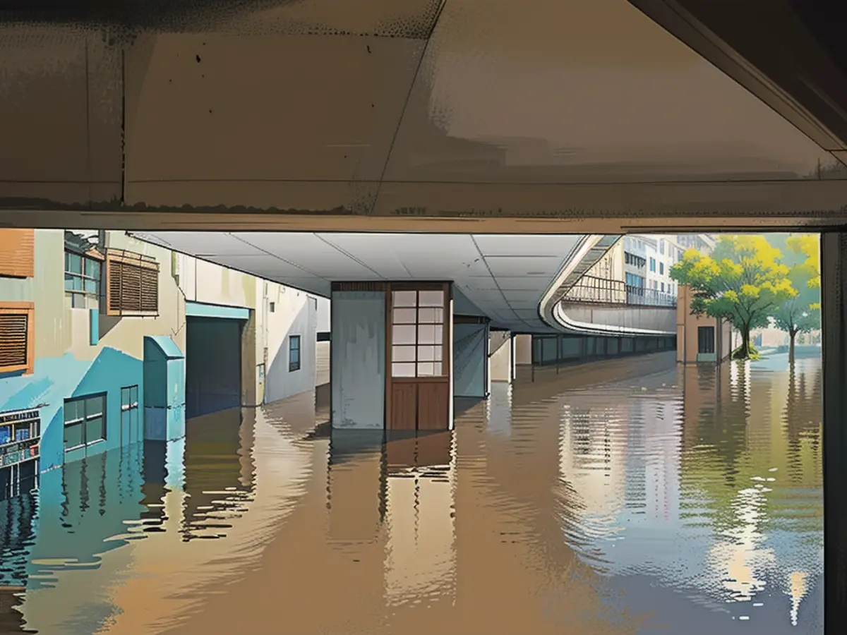
The constant rain is followed by freezing cold
It is raining and raining in the flood areas. According to ntv weather expert Björn Alexander, the precipitation will continue until Saturday. But then winter will settle over the country: it may snow heavily and it will be very cold in some areas.
ntv.de: How is the situation developing in the flood areas?
Björn Alexander: Unfortunately, there is still a lot of rain on the way at the moment. By Friday evening, the affected areas in the northwest and west as well as in Franconia can still expect runoff-relevant amounts.
On what scale?
For Lower Saxony, 10 to 15 liters per square meter are calculated. For the congested areas from the west and southwest of our country to the Harz Mountains, the figure is again as high as 20 to 40 liters. A drop in water levels is therefore only likely from Saturday onwards, which in turn will keep the load on the soaked dykes high.
What does this mean for the larger rivers such as the Rhine or the Moselle?
The maximum water level on the Rhine in Cologne, for example, is expected to reach around 8.30 meters on Friday evening or early Saturday morning, which could lead to the suspension of shipping. Meanwhile, the Moselle will most likely reach its peak in the coming hours. Generally speaking, the situation in the affected regions will remain critical to dangerous up to and including Saturday, before the cold air from the north comes to our aid first with snow and then with a few dry days.
Will there be a winter comeback to save us?
On Friday, an air mass boundary will form between the mild air and the cold air flowing in from the north. Light permafrost, snow and icy conditions will take over to the north, along with an icy wind that will bring temperatures of around minus 10 degrees in some places, while the temperature on the Rhine is still measured at plus 10 degrees.
How much snow is possible?
First of all, the cold air will spread to the area from Bremen to Flensburg as well as Mecklenburg-Western Pomerania and northern Brandenburg. Up to ten centimetres or more are possible in places. The polar air could lead to increased shower activity as it crosses the warmer water surface, preferably from the Baltic Sea. The so-called lake effect, which could also bring larger amounts of snow.
And at the weekend?
It will get colder from the north on Saturday, with precipitation tapering off overall. However, there will still be enough for a few centimetres of fresh snow and icy conditions along the low mountain ranges. In the south, the snow line will still be around 800 meters before dropping further on Sunday. Especially in and around the Alps, it may then snow heavily, so you should definitely have your winter gear ready in the car.
What should we be prepared for in terms of temperature?
Saturday will bring a maximum of minus 2 to 7 degrees and Sunday a maximum of minus 4 to 3 degrees. It still feels colder due to the sometimes brisk wind. And "colder" is also the key word for next week, when it will drop even further.
What does that mean in concrete terms?
Apart from the west and the coasts with highs of just over 0 degrees, the permafrost has us in its grip. The cold pole is in the south and south-east with temperatures of no more than minus 6 or minus 7 degrees in some places. Particularly at the beginning of the week, an icy easterly wind is blowing, especially in the south, where it feels like minus 10 degrees and below - even at lunchtime. And at night, Father Frost also adds to the mix.
What sub-zero temperatures are we in for?
The nights will be frosty everywhere with a corresponding risk of slipperiness due to frost, freezing rain or even snow. Preferably under clearing and over snow, temperatures around or well below minus 10 degrees are possible. Depending on the weather model, temperatures could even drop below minus 15 to minus 20 degrees in places towards the Erzgebirge and Swabian Alb or the Alps. We should therefore take outdoor water pipes out of service soon. It also means: Take your foot off the gas and dress warmly - it hasn't been this cold for a long time.
Is there any chance of sunshine now that the weather has calmed down?
There are - even if it's not going to be a permanent hit in terms of sunshine. But at least from Sunday to Wednesday, it will be friendlier from the north and away from or after fog or high fog, sometimes even sunny. Not a perfect situation, but after the constant grey and rainy weather of the last few months, these prospects are definitely a real ray of hope, even if it is freezing cold.
Read also:
- Floods: water levels remain critical in many places
- Snow chaos further restricts Bavaria
- Continuous operation in the flood areas
- Flood situation remains tense in many places
Source: www.ntv.de