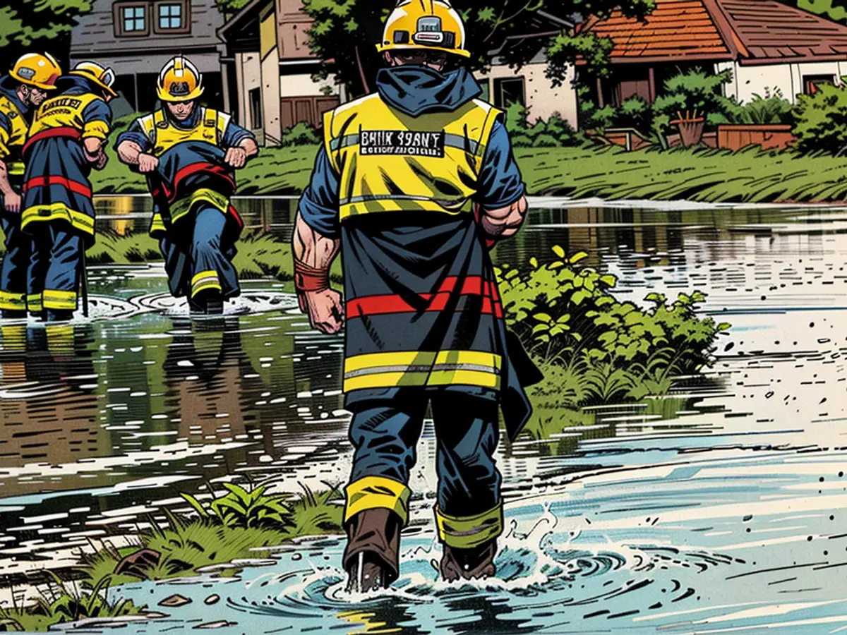
- This autumn, Germany is enduring severe weather conditions, including floods and hurricanes.
The Earth's air temperature has been consistently breaking records due to human-induced climate change. However, the warming of the seas has been progressing at a slower pace, until last year. In 2023, numerous institutes worldwide reported unprecedented record high temperatures, particularly in the North Atlantic.
Seas play a crucial role in weather development as they serve as massive energy storage units. Compared to air, water has a much greater heat capacity, requiring four times more energy to warm up by one degree, which can then be released four times as strongly.
It took several years of rising climate crisis to heat the seas to this extent. The current marine heat records would not have been possible without the warmth of last year. Additionally, the warm surface water is being mixed deeper and deeper, increasing the energy reservoir.
Rising danger of storms in Europe due to warmer seas
When this energy is released in a sudden surge, it poses a significant risk. This is particularly true when cold air masses move south in the fall and encounter the sea, which is still about 24°C on average (1982-2011 average). In October, it's around 22°C. Over the past few years, the contrast between these temperatures has increased: around 26°C in September and nearly 25°C in October. These growing contrasts can trigger severe weather events.
The sea warms the atmosphere from below and enhances evaporation, leading to increased moisture. As a result, the higher atmospheric layers remain cold, causing intense dynamics due to the presence of warmer and wetter air masses. This uplift results in massive, water-rich thunderstorms with heavy rain, strong winds, and occasionally, tornadoes. If the jet stream is far from the Mediterranean, these storms can form into low-pressure systems, which can develop into intense storms, known as Medicanes, similar to hurricanes.
These developments were evident last year, when a severe storm in the western Mediterranean kept coastal countries on edge. Medicane Daniel set new records with over 1000 liters of rain in a short time in Greece and resulted in deadly floods. Shortly after, the same storm caused a historic flood disaster in Libya.
Critical situation with uncertain model predictions
Germany recently set a new record for the twelve wettest months in a row due to the warmer seas. The moisture from the Mediterranean also increases the risk of heavy rain in Germany. At the same time, the too-warm Atlantic plays a significant role in our west wind weather. The persistent high water during the past winter in large parts of North Germany was caused by a combination of moister Atlantic air and stuck weather patterns.
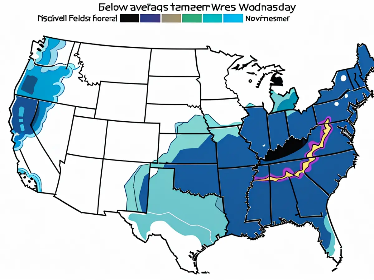
The exact timing and location of the extreme weather are still uncertain. However, the risk increases throughout September and peaks from October to November. The experimental long-term models provide a rough estimate for this year. The American NOAA shows cooler air from northwest to southwest Europe in the monthly average, resulting in wetter times in the Mediterranean, but also affecting Germany. The European EFFIS model shows similar trends in its latest calculations.
This scenario could indeed be dangerous for Germany. Low-pressure systems, known as Vb-lows, pick up moisture in the Mediterranean and move towards Austria and Hungary, heading towards the Czech Republic and Poland. This results in extreme rainfall in the Alps and the eastern midlands, both there and here. Examples of such events include the century flood on the Elbe and Oder in 2002 and the millennium flood on the Danube in 2013.
Threat of severe storms and flooding in Germany
Looking further into autumn, the long-term models suggest a stabilization in the Mediterranean. However, it will likely be very unsettled and wet in Central and Northern Europe due to the very moist air from the Atlantic. It is not surprising if the upcoming winter runs similarly to the previous one in Germany. At the same time, severe storm systems are possible. The same applies to the Atlantic and the North and Baltic Seas: the more energy in the system, the stronger the storms.
What this means, we saw last year on the Baltic Sea. A low suddenly intensified so strongly over the warm water that it caused record storm surges with significant damage in parts of Schleswig-Holstein. One storm after another swept from the British Isles to Scandinavia. The peak was the storms "Dagmar" and "Ingunn", which caused unusually heavy damage with record wind speeds of over 200 kilometers per hour even in Norway. If the calculations of the long-term models are correct, similar events are to be expected in the coming winter.
These simple physical calculations have been carried out by scientists for many decades. They have warned of the developments now becoming measurable reality. If the human-induced climate change continues, the impacts will be many times worse. Many physical energy processes are not linear but exponential and have tipping points. If we do not adapt quickly enough to the climate change and its consequences, the coming storms will hit with full force and become new, larger catastrophes.
This article was first published on ntv.de.
The warning of severe weather events extends to Germany, as the sea's warming has led to increased moisture and temperature contrasts. Last year, Germany set a record for the twelve wettest months in a row due to the warmer seas and Mediterranean influence.
This autumn and winter, the long-term models suggest a wet and unsettled period in Central and Northern Europe, with the potential for intense storms and flooding, similar to what was experienced on the Baltic Sea last year.


