Tropical storm warnings issued for Puerto Rico with Ernesto coming – here’s where it could go next
Disorganized showers and thunderstorms located a few hundred miles east of the eastern Caribbean’s Leeward Islands Monday morning will organize into a tropical storm by Tuesday morning, according to the National Hurricane Center.
The Atlantic’s next tropical storm will be Ernesto.
Early track forecasts for what will become Ernesto don’t have the system following Debby’s continental US-bound footsteps. It looks to curve north and intensify into a hurricane over very warm ocean water, potentially placing Bermuda in harm’s way, instead.
Tropical storm watches were hoisted Sunday evening for the Leeward Islands – an island chain in the northeast Caribbean including the US and British Virgin Islands – and expanded overnight to include Puerto Rico. They were upgraded to warnings Monday.
These warnings mean tropical storm conditions are coming soon. Tropical storms have sustained winds up to 73 mph with stronger gusts and are capable of damaging some structures and taking down trees and power lines. Additional watches and warnings could be be issued in the coming days.
Drenching rainfall looks to be the most significant threat over parts of the eastern and northern Caribbean this week. The rain will begin by late Monday for some. Rainfall totals of 4 to 6 inches will be widespread, with up to 10 inches possible in parts of Puerto Rico.
“Heavy rainfall may result in locally considerable flash flooding and mudslides,” the National Hurricane Center warned Monday.
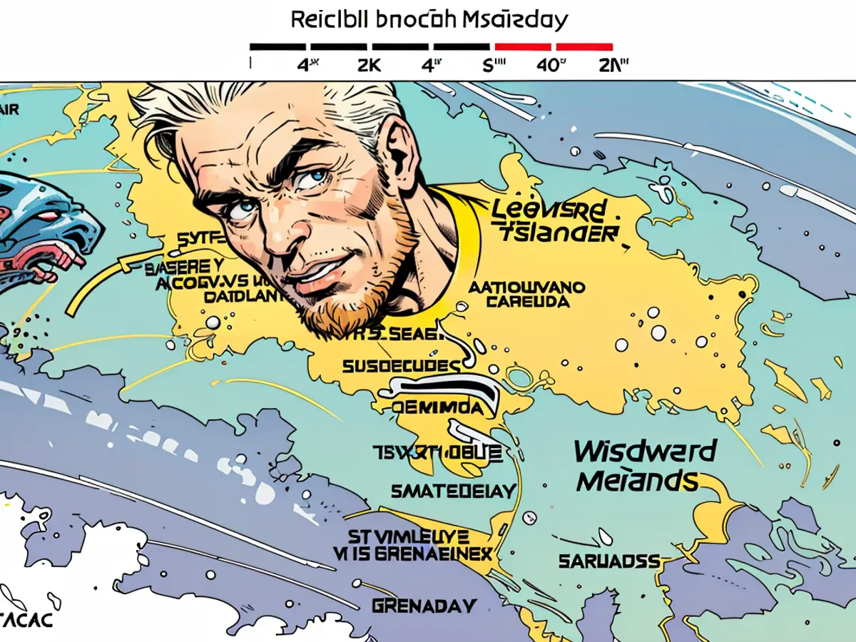
Some of the heaviest rain could fall from late Monday through Wednesday over the Leeward Islands and later Tuesday into Thursday for Puerto Rico.
Tropical storm-force windswill also pound areas within the system’s path from Tuesday onwards. These winds will create dangerous seas and up to 3 feet of storm surge for many islands in the region.
The combination of rain and wind could cause issues for Puerto Rico’s vulnerable electrical infrastructure.
A gradual turn to the north is expected to begin Wednesday, eventually pulling Ernesto away from the Caribbean and into the open Atlantic. Once over open water, Ernesto will strengthen and become a hurricane.
How strong Ernesto gets will depend heavily on very warm ocean water and how potent storm-disrupting upper level winds become over the region. It’s possible Ernesto becomes a major hurricane – Category 3 strength or greater – late this week.
But Ernesto’s track could shift depending on a number of factors, including when it is pulled northward. A later turn would mean the storm would impact areas farther west like Hispaniola or the southern Bahamas.
Ernesto could be a powerful hurricane by the weekend as it approaches Bermuda. It’s too early to know exactly how close Ernesto will come to Bermuda and how much rain and wind it’ll bring.
Ernesto’s will have wide-reaching impacts later this week and this weekend despite an uncertain final track somewhere over the open Atlantic.
The storm will churn up seas hundreds of miles away and could create dangerous rip currents for the US East Coast, the Bahamas and parts of the Caribbean into early next week.
The weather forecast suggests that the tropical storm forming east of the Leeward Islands may pose a threat to Bermuda, potentially causing issues for its vulnerable electrical infrastructure. Despite the uncertainty in Ernesto's final track, its impacts could extend as far as creating dangerous rip currents for the US East Coast, the Bahamas, and parts of the Caribbean into early next week.
