Table of Contents
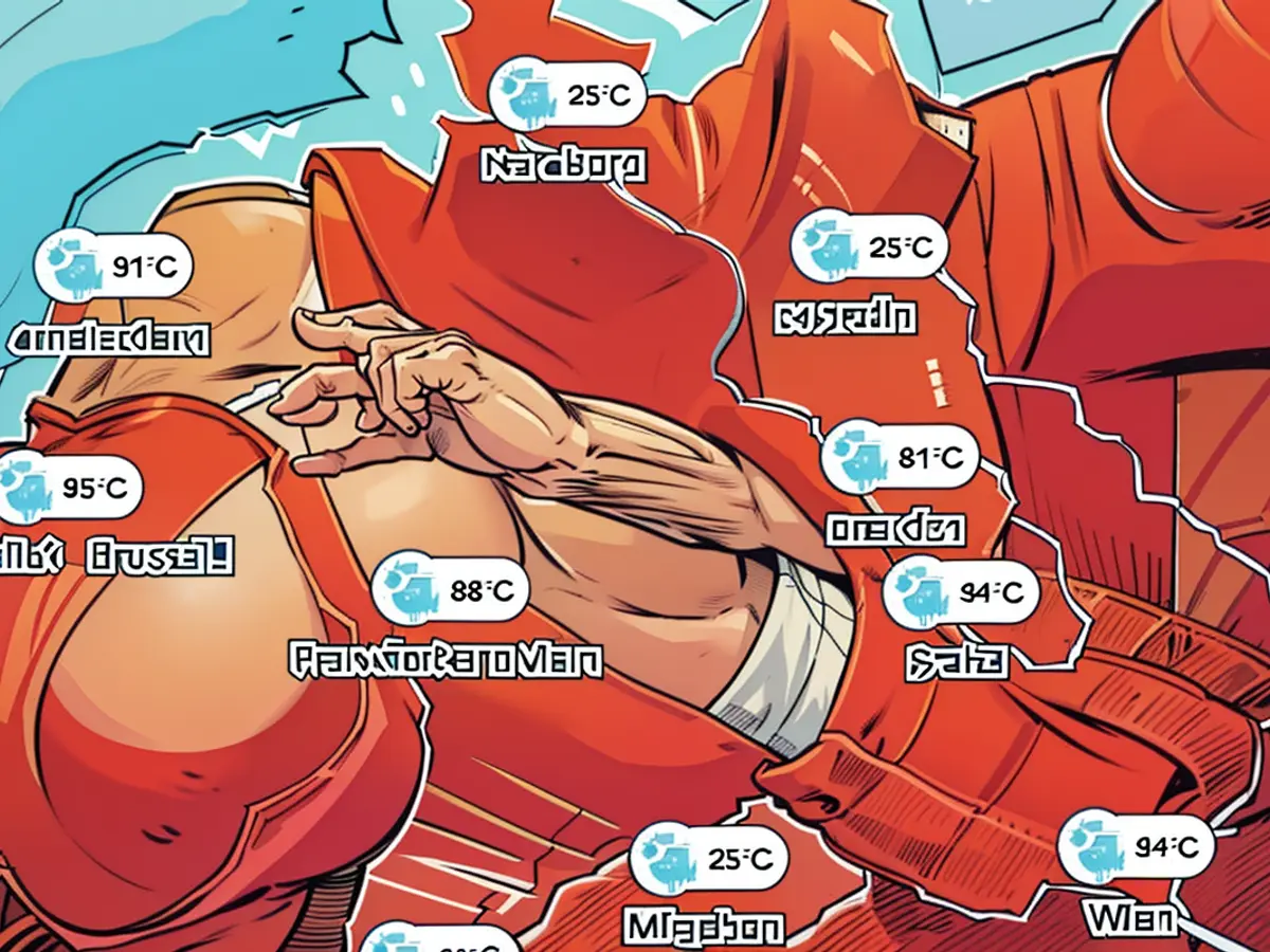
- Weather Map I: See live where the sun is currently hottest
- Weather Map II: Today's maximum temperatures
- Weather Map III: UV exposure
- Weather Map IV: Today's thunderstorm warnings
After heat and storms - Summer is on a break <unk> Maps show the weather
Heat, lightning, storms: The height of summer has shown itself from all sides in recent days. Now, at least a brief respite is in sight. Temperatures drop a few degrees, and the last smaller storms move away.
"Today partly cloudy, in the north also increasingly cloudy and in the northeast, from the Ore Mountains to the Zittau region and Lusatia as well as at the Alpine foothills, locally showers and isolated thunderstorms, with a low probability of severe weather," the German Weather Service (DWD) reports.
Otherwise, we can expect pleasant and mostly dry weather. South of the Moselle and Main also longer sunny periods. Highest values 25 to locally 33 degrees, at the coast around 23 degrees. Apart from storms, weak, in the northwest also moderate west to southwest wind.
However, the summer will ramp up again towards the weekend. Already in the night from Thursday to Friday, showers can be expected in the south, which could then spread from the northwest to the Baltic Sea during the day. The temperatures will rise again to 26 to 33 degrees, before there could be severe thunderstorms again on Saturday.
The following maps show the current weather situation:
Weather Map I: See live where the sun is currently hottest
The interactive map below shows the weather in real-time. In addition, the timeline at the bottom of the graph also allows you to retrieve the forecast for a later time. The displayed layer can be changed at the top right, for example to thunderstorms, rain or snow.
The service is provided by Windy.com. The creators use the model from the "European Centre for Medium-Range Weather Forecasts" for their displays and forecasts.
Weather Map II: Today's maximum temperatures
The overview below shows the expected maximum temperatures for today. It is provided by the portal Wetter.de, which belongs to RTL Germany like the stern. Clicking on the graph takes you to the provider, where you can query further details.
Weather Map III: UV exposure
The map above shows the expected UV exposure. It is provided by Wetter.de, just like Weather Map II.
Weather Map IV: Today's thunderstorm warnings
The map above shows the thunderstorm warnings of the DWD for today. It is a binary weather map, meaning that areas with a thunderstorm warning are colored red. No coloring means no warning.
DWD.
After checking the weather forecasts, you might find interest in the top news regarding potential weather developments. This week, there are predictions of showers and thunderstorms, especially in the south and northwest regions, potentially leading to severe weather conditions.
Or, To stay well-informed about the current weather trends, make sure to check out the top news featuring the latest updates on the forecasts, particularly focusing on the upcoming thunderstorm warnings and temperature fluctuations.


