Table of Contents
- Weather Map I: See live where the sun is currently hottest
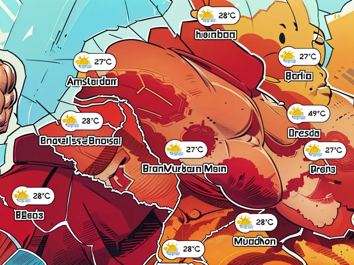
- Weather Map II: Today's maximum temperatures
- Weather Map III: UV exposure
- Weather Map IV: Today's thunderstorm warnings
- Maps show where the sun is shining and where storms rise
On Monday, the highest temperatures in the northeast and at the North Sea are expected to range between 22 and 28 degrees Celsius, while elsewhere they will be between 28 and 36 degrees Celsius. It will be particularly hot in the southwest, with a strong to extreme heat load expected in many areas - "also due to a widespread expected tropical night on Tuesday," as the DWD reports.
In some areas, the lowest temperatures at night will be between 24 and 20 degrees Celsius. On Tuesday, the heat will spread further, with temperatures reaching up to 37 degrees Celsius - only in coastal areas and East Pomerania is less than 30 degrees Celsius expected.
Heat Followed by Storms
According to the weather service, there will be isolated heavy thunderstorms and localized severe weather in the south and southwest on Monday afternoon and evening. On Tuesday, from midday onwards, there will be heavy thunderstorms with increased severe weather risk, especially from the mountains. In addition to heavy rain in extreme severe weather areas, gusty winds, and locally heavy gusts are possible, the DWD reports.
On Wednesday, heavy thunderstorms are expected in the west and northwest already at night. During the day, they will spread eastwards, with an increased risk of severe weather from heavy rain and gusty winds. Temperatures will range from 29 to 34 degrees Celsius - slightly cooler temperatures are expected in the west and northwest.
The following maps show the current weather situation:
Weather Map I: See live where the sun is currently hottest
The interactive map below shows the weather in real-time. You can also retrieve the forecast for a later time using the timeline below the graph. The displayed layer can be changed, for example, to show thunderstorms, rain, or snow, by clicking the top right corner.
This service is provided by Windy.com. The creators use the model from the "European Centre for Medium-Range Weather Forecasts" for their displays and forecasts.
Weather Map II: Today's maximum temperatures
The overview below shows the expected maximum temperatures for today. It is provided by the portal Wetter.de, which is part of RTL Germany. Clicking on the graph will take you to the provider for further details.
Weather Map III: UV exposure
The map above shows the expected UV exposure. It is provided by Wetter.de, just like Weather Map II.
Weather Map IV: Today's thunderstorm warnings
The map above shows the thunderstorm warnings issued by the DWD for today. This is a binary weather map, meaning that areas with a thunderstorm warning are colored red, and no coloring indicates no warning.
DWD.
Germany is one of the countries expected to experience high temperatures, with many areas having a strong to extreme heat load, as reported by the DWD. On Tuesday, parts of East Pomerania in Germany are expected to have temperatures less than 30 degrees Celsius, while other areas may reach up to 37 degrees Celsius.


