Hurricane season has been on pause. Here’s when that could change
“There’s definitely some (tropical activity) coming,” Phil Klotzbach, a hurricane expert and research scientist at Colorado State University, said. “It’s coming sooner rather than too much later.”
Tropical activity in the Atlantic typically starts to ramp up in August, particularly during the second half of the month. But this season – which is expected to be hyperactive– got off to a historic start when Beryl exploded into a ferocious Category 5 hurricane in early July.
Beryl was supercharged by ocean waters as warm as they should be in September – a phenomenon becoming more common as the planet warms due to fossil fuel pollution.
The rapidly intensifying hurricane also had two other ingredients needed for storms to form that have been missing ever since: moist air and a lack of storm-disrupting upper level winds, called wind shear.
Ocean temperatures are still off the charts, but a vast expanse of dry, dusty air has limited moisture and helped rein in tropical activity over the Atlantic post-Beryl.
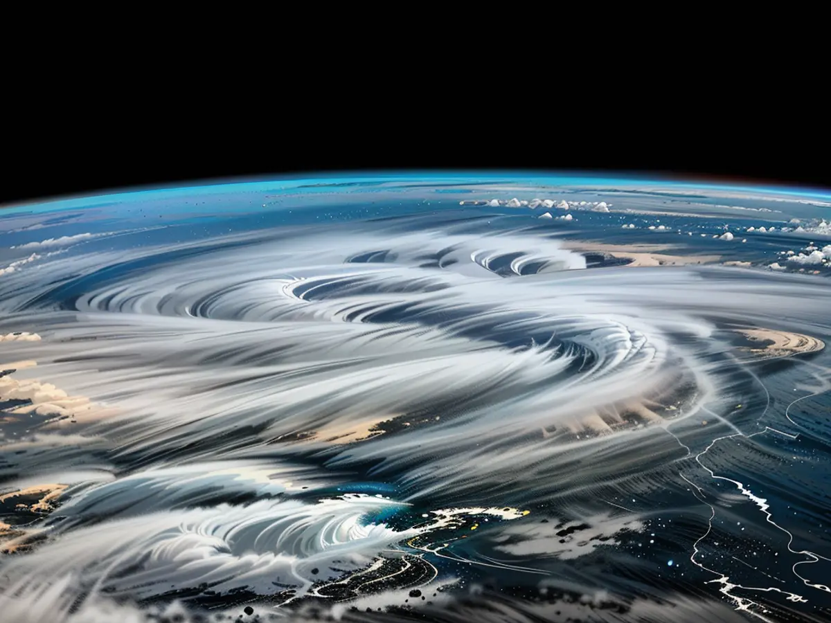
Saharan dust (thin, tan cloud) overspreads much of the tropical Atlantic Ocean on Thursday, July 25.
This so-called Saharan dust originates from dust storms in Africa, gets trapped in a layer of air above the surface and is then carried out over the Atlantic by persistent winds.
Batches of Saharan dust flow out of Africa and over the Atlantic year-round, but high concentrations peak in the early summer, just like this year.
This July has so far produced the month’s second-highest concentration of dust over the tropical Atlantic on record, according to an analysis by hurricane expert Michael Lowry. Reliable satellite data for this measurement begins in 2002.
But this disruptive dry, dusty air isn’t sticking around and will likely dissipate in August, according to Klotzbach.
Dust wasn’t the only factor keeping the Atlantic quiet after Beryl. Upper-level winds were too hostile for hurricanes to develop in July, but signs point to calmer winds and favorable conditions in the weeks to come, according to Klotzbach.
Klotzbach estimates all of the necessary atmospheric conditions will come together in the next week and a half, which will open the door for more hurricanes.
While Klotzbach doesn’t think a storm is guaranteed to form immediately after conducive conditions align, it’s only a matter of time before one does.
Forecasts from the Climate Prediction Center highlight an area for potential tropical development from July 31 to August 6. Part of the western Atlantic and the Caribbean has at least a 20% chance of tropical development during that timeframe.
That 20%-or-greater chance persists through mid-Augustand expands across almost the entire tropical Atlantic, from west of Cabo Verde into the eastern Caribbean.
The most active period of the Atlantic hurricane season typically runs from mid-August to mid-October, with activity peaking around September 10.
Once hurricane season wakes up again, quiet periods could be few and far between.
The current decrease in tropical activity in the Atlantic is largely due to the presence of a vast expanse of dry, dusty air, which is limiting moisture. However, according to Phil Klotzbach, this situation is expected to change in August, as the dust isn't likely to stick around.
As the Atlantic hurricane season becomes more active, weather patterns might be influenced by ocean temperatures, which are still unusually high and conducive to storm formation.
