
Strong storms with thunder and downpours - Heavy rain could soon hit the following areas, as shown on these storm maps.
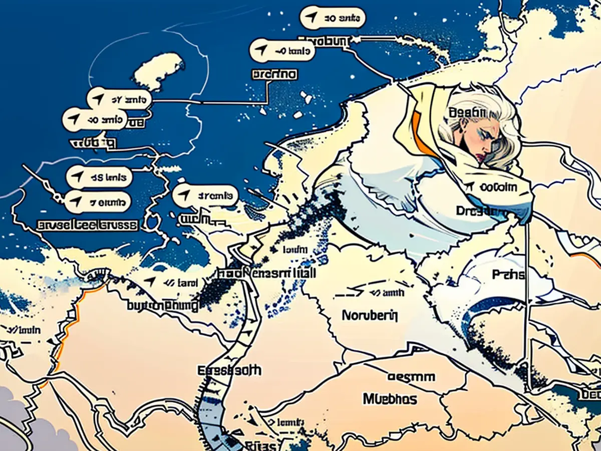
Check out the live weather map here:
This interactive map displays areas where lightning and thunder are currently occurring, as well as any rainfall. Slide the bar at the bottom of the graph for a forecast of future weather conditions. You can also change the displayed layer to show either rain or snow.
Check out the real-time rainfall map below:
Another useful tool is this map, which demonstrates current rainfall across the region. It also has a time slider to show the forecast for later periods.
Here's the latest weather update:
Although the weather might improve slightly on Tuesday, a dry summer isn't quite in sight yet. According to the German Weather Service (DWD), Tropical Depression Orinoco will reach us by Wednesday night. We can expect widespread, stormy, and locally thunderous rain showers from the west and northwest. The southeastern half of the region will be partly cloudy and partly dry. Temperatures will range from 14 to 5 degrees, with the lowest being in southeastern Bavaria.
On Wednesday, expect mostly dry conditions in the extreme east and southeast, with sunny spells in some areas. To the east of this, rain showers will spread, while thunderstorms and showers will occur in the west and northwest. The highest temperatures will be between 18 and 24 degrees, with the highest values found in the east.
The DWD predicts that by Thursday night, rain will reach the east and southeast, with local heavy rain, thunderstorms, and showers expected at temperatures of 17 to 22 degrees. On Friday, prolonged rain showers are forecast in the south, while the rest of the country will experience mixed weather with occasional thunderstorms. The highest temperatures will range from 18 to 24 degrees, with temperatures around 15 degrees in the continuous rainfall.
This weekend, the DWD forecasts constant rain. "Tropical Depression Orinoco feels comfortable in Central Europe and will settle here for the weekend," said a spokesperson from the DWD. "Powerful cloud packages present, from which very heavy rain can occasionally fall." While it's still uncertain where the low pressure system will set up camp and which areas will be hit hardest, it seems that the southern, eastern, and central regions will be targeted the most. The models predict the heaviest rainfall in these regions.
Leyser, the spokesperson for the DWD, estimates that "between 40 to 60 liters per square meter of rainfall might accumulate by Monday." But there's also the potential for significantly higher amounts of up to 100 or even 150 liters per square meter. That's around twice the monthly rainfall for May in many areas.
There is a possibility of flooding at certain river courses. "These water masses will flow into the streams and rivers, causing the water levels to rise significantly," Leyser added.
This weather information is provided by Windy.com, which uses the model from the "European Centre for Medium-Range Weather Forecasts" to generate its visualizations and predictions.
For real-time precipitation data, take a look at this map:
Real-time precipitation map provided by Wetter.de, a site from the RTL Group.
Here's a map displaying today's thunderstorm warnings from the German Weather Service (DWD):
A binary weather map, indicating areas with a thunderstorm warning in red, and none in any other color.
Read also:
- Rain expected again: The situation in the flood areas remains threatening
- Continuous rain until Thursday: Concerns about collapsing dykes are growing in the flood areas
- Flood situation remains tense - more rain forecast
- Flood situation remains tense - weir on the Elbe is opened
- The flood zone in Central Europe, particularly in Germany, is bracing for more rain this weekend, as per the German Weather Service (DWD).
- The top news headlines are warning of heavy rain and the potential for flooding in certain river courses, as a tropical depression settles over the region for the weekend.
- This weekend's forecast in Central Europe includes constant rain, with powerful cloud packages capable of causing local heavy downpours, as reported by DWD spokesperson Leyser.
- The flood situation in Germany remains tense, with the possibility of up to 150 liters of rain per square meter falling in some areas by Monday, as confirmed by DWD meteorologist Leyser.
- The flood zones in Central Europe, including Germany, are at risk of flooding due to the increasing water levels in rivers and streams, which could result from the heavy rain expected this weekend, as warned by the DWD.
Source: www.stern.de


